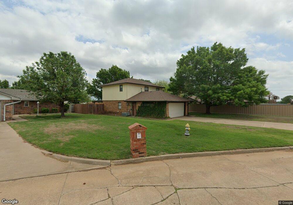
730 Westside Dr Duncan, OK 73533
Estimated Value: $152,000 - $164,000
3
Beds
3
Baths
1,472
Sq Ft
$107/Sq Ft
Est. Value
About This Home
This home is located at 730 Westside Dr, Duncan, OK 73533 and is currently estimated at $157,052, approximately $106 per square foot. 730 Westside Dr is a home located in Stephens County with nearby schools including Mark Twain Elementary School, Duncan Middle School, and Duncan High School.
Ownership History
Date
Name
Owned For
Owner Type
Purchase Details
Closed on
Jan 29, 2014
Sold by
Kuehn Denise K
Bought by
Tinney Kurt J and Tinney Amanda L
Current Estimated Value
Home Financials for this Owner
Home Financials are based on the most recent Mortgage that was taken out on this home.
Original Mortgage
$95,243
Outstanding Balance
$71,515
Interest Rate
4.25%
Mortgage Type
FHA
Estimated Equity
$85,537
Purchase Details
Closed on
Mar 10, 2003
Sold by
Kuehn Randy A
Purchase Details
Closed on
Mar 26, 1993
Sold by
Morris Otis and Morris Tommie
Purchase Details
Closed on
Mar 18, 1992
Sold by
Hamel Thala Ann
Create a Home Valuation Report for This Property
The Home Valuation Report is an in-depth analysis detailing your home's value as well as a comparison with similar homes in the area
Purchase History
| Date | Buyer | Sale Price | Title Company |
|---|---|---|---|
| Tinney Kurt J | $97,000 | None Available | |
| -- | -- | -- | |
| -- | $54,500 | -- | |
| -- | $64,000 | -- |
Source: Public Records
Mortgage History
| Date | Status | Borrower | Loan Amount |
|---|---|---|---|
| Open | Tinney Kurt J | $95,243 |
Source: Public Records
Tax History
| Year | Tax Paid | Tax Assessment Tax Assessment Total Assessment is a certain percentage of the fair market value that is determined by local assessors to be the total taxable value of land and additions on the property. | Land | Improvement |
|---|---|---|---|---|
| 2025 | $811 | $10,615 | $1,047 | $9,568 |
| 2024 | $767 | $10,006 | $1,047 | $8,959 |
| 2023 | $767 | $10,006 | $1,047 | $8,959 |
| 2022 | $717 | $9,715 | $1,047 | $8,668 |
| 2021 | $694 | $9,157 | $1,047 | $8,110 |
| 2020 | $795 | $10,205 | $1,047 | $9,158 |
| 2019 | $771 | $9,908 | $1,047 | $8,861 |
| 2018 | $768 | $9,620 | $1,047 | $8,573 |
| 2017 | $744 | $9,653 | $1,047 | $8,606 |
| 2016 | $838 | $10,863 | $1,047 | $9,816 |
| 2015 | $707 | $10,863 | $1,047 | $9,816 |
| 2014 | $707 | $8,950 | $814 | $8,136 |
Source: Public Records
Map
Nearby Homes
- 602 Fieldcrest Dr
- 2622 Highcrest Dr
- TBD S 27th St
- 208 N 29th St
- 1715 S 42nd St
- 0 W Beech Ave
- 261 N 29th St
- 2110 W Main St
- 2150 W Main St
- 209 N 22nd St
- 2086 N 44th St
- 4549 W Seminole Rd
- 2006 W Oak Ave
- 1377 Drexal Place
- 4705 W Seminole Rd
- 174831 N 2844 Rd
- 1905 W Ash Ave
- 2210 Western Dr
- 168466 9 Mile Rd
- 1405 Lizabeth Dr
- 726 Westside Dr
- 722 Westside Dr
- 3465 W Bois d Arc Ave
- 721 Westside Dr
- 718 Westside Dr
- 717 Westside Dr
- 860 Westside Dr
- 3505 W Bois d Arc Ave
- 713 Westside Dr
- 710 Westside Dr
- 735 Westview Rd
- 709 Westside Dr
- 725 Westview Rd
- 745 Westview Rd
- 706 Westside Dr
- 705 Westside Dr
- 824 Westside Dr
- 3509 W Bois d Arc Ave
- 655 Westview Rd
- 622 Westside Dr
Your Personal Tour Guide
Ask me questions while you tour the home.