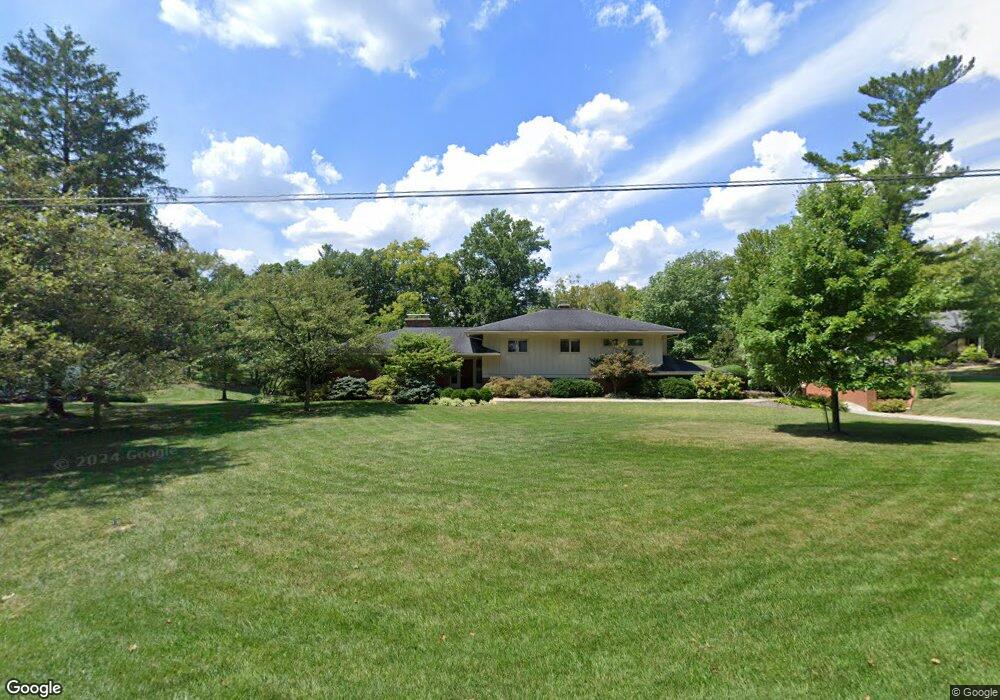
7300 Algonquin Dr Cincinnati, OH 45243
Estimated Value: $1,278,206 - $1,666,000
4
Beds
5
Baths
3,704
Sq Ft
$408/Sq Ft
Est. Value
About This Home
This home is located at 7300 Algonquin Dr, Cincinnati, OH 45243 and is currently estimated at $1,512,402, approximately $408 per square foot. 7300 Algonquin Dr is a home located in Hamilton County with nearby schools including Madeira Elementary School, Madeira Middle School, and Madeira High School.
Ownership History
Date
Name
Owned For
Owner Type
Purchase Details
Closed on
Nov 25, 2013
Sold by
Bailey Ann K and Bailey Todd H
Bought by
Bailey Todd H
Current Estimated Value
Purchase Details
Closed on
Jan 21, 1997
Sold by
Brinn Debbie
Bought by
Bailey Ann K
Home Financials for this Owner
Home Financials are based on the most recent Mortgage that was taken out on this home.
Original Mortgage
$335,000
Interest Rate
7.66%
Purchase Details
Closed on
Dec 19, 1994
Sold by
Piening Ralph B
Bought by
Piening Ralph B and Piening Mary S
Create a Home Valuation Report for This Property
The Home Valuation Report is an in-depth analysis detailing your home's value as well as a comparison with similar homes in the area
Home Values in the Area
Average Home Value in this Area
Purchase History
| Date | Buyer | Sale Price | Title Company |
|---|---|---|---|
| Bailey Todd H | -- | Attorney | |
| Bailey Ann K | -- | -- | |
| Brinn Debbie | $415,000 | -- | |
| Piening Ralph B | -- | -- |
Source: Public Records
Mortgage History
| Date | Status | Borrower | Loan Amount |
|---|---|---|---|
| Closed | Bailey Ann K | $335,000 |
Source: Public Records
Tax History
| Year | Tax Paid | Tax Assessment Tax Assessment Total Assessment is a certain percentage of the fair market value that is determined by local assessors to be the total taxable value of land and additions on the property. | Land | Improvement |
|---|---|---|---|---|
| 2025 | $10,030 | $274,625 | $140,480 | $134,145 |
| 2024 | $9,792 | $274,625 | $140,480 | $134,145 |
| 2023 | $9,817 | $274,625 | $140,480 | $134,145 |
| 2022 | $9,587 | $226,265 | $113,463 | $112,802 |
| 2021 | $8,392 | $226,265 | $113,463 | $112,802 |
| 2020 | $8,392 | $226,265 | $113,463 | $112,802 |
| 2019 | $7,992 | $202,024 | $101,308 | $100,716 |
| 2018 | $8,008 | $202,024 | $101,308 | $100,716 |
| 2017 | $7,616 | $202,024 | $101,308 | $100,716 |
| 2016 | $7,598 | $200,879 | $105,679 | $95,200 |
| 2015 | $7,631 | $200,879 | $105,679 | $95,200 |
| 2014 | $7,574 | $200,879 | $105,679 | $95,200 |
| 2013 | $7,937 | $202,910 | $106,747 | $96,163 |
Source: Public Records
Map
Nearby Homes
- 7335 Demar Rd
- 5995 Crabtree Ln
- 5805 Miami Rd
- 5801 Kenwood Rd
- 6095 Kenwood Rd
- 5349 Grand Vista Ct
- 6845 E Fork Rd
- 6242 Fulsher Ln
- 6300 Miami Rd
- 6700 Madison Rd
- 5213 Kenwood Rd
- 4975 Miami Rd
- 7708 Ahwenasa Ln
- 5906 Woodland Ln
- 6328 Desmond St
- 5960 Woodland Ln
- 7437 Madeira Pines Dr
- 6041 Johnson St
- 5900 Woodland Ln
- 4931 Jameson St
- 7320 Algonquin Dr
- 7290 Algonquin Dr
- 7205 Brill Rd
- 7280 Algonquin Dr
- 7200 Cayuga Dr
- 7340 Algonquin Dr
- 7200 Brill Rd
- 7274 Algonquin Dr
- 7255 Brill Rd
- 7270 Algonquin Dr
- 7275 Algonquin Dr
- 7250 Cayuga Dr
- 7250 Brill Rd
- 7360 Algonquin Dr
- 7225 Cayuga Dr
- 7395 Algonquin Dr
- 7305 Brill Rd
- 7300 Brill Rd
- 7300 Cayuga Dr
- 7380 Algonquin Dr
Your Personal Tour Guide
Ask me questions while you tour the home.