7300 O Brien Rd Hubbardston, MI 48845
Estimated Value: $194,000 - $310,000
3
Beds
3
Baths
1,680
Sq Ft
$163/Sq Ft
Est. Value
About This Home
This home is located at 7300 O Brien Rd, Hubbardston, MI 48845 and is currently estimated at $273,773, approximately $162 per square foot. 7300 O Brien Rd is a home located in Ionia County with nearby schools including Webster Elementary, Wilkinson County Elementary School, and Carson City Elementary School.
Ownership History
Date
Name
Owned For
Owner Type
Purchase Details
Closed on
Jul 18, 2017
Sold by
Virgil Ackley
Bought by
Shorter Mary E
Current Estimated Value
Purchase Details
Closed on
Nov 20, 2014
Sold by
Harmon Richard D and Harmon Sharon
Bought by
Citimortgage Inc
Purchase Details
Closed on
Sep 11, 2001
Bought by
Harmon Richard D and Brammell Sharo
Create a Home Valuation Report for This Property
The Home Valuation Report is an in-depth analysis detailing your home's value as well as a comparison with similar homes in the area
Home Values in the Area
Average Home Value in this Area
Purchase History
| Date | Buyer | Sale Price | Title Company |
|---|---|---|---|
| Shorter Mary E | $129,000 | -- | |
| Citimortgage Inc | $118,689 | None Available | |
| Harmon Richard D | $140,000 | -- |
Source: Public Records
Mortgage History
| Date | Status | Borrower | Loan Amount |
|---|---|---|---|
| Closed | Shorter Mary E | $126,663 |
Source: Public Records
Tax History Compared to Growth
Tax History
| Year | Tax Paid | Tax Assessment Tax Assessment Total Assessment is a certain percentage of the fair market value that is determined by local assessors to be the total taxable value of land and additions on the property. | Land | Improvement |
|---|---|---|---|---|
| 2025 | $1,730 | $109,000 | $13,200 | $95,800 |
| 2024 | $741 | $109,000 | $13,200 | $95,800 |
| 2023 | $707 | $85,100 | $9,000 | $76,100 |
| 2022 | $673 | $85,100 | $9,000 | $76,100 |
| 2021 | $2,717 | $79,600 | $9,000 | $70,600 |
| 2020 | $646 | $79,600 | $9,000 | $70,600 |
| 2019 | $540 | $70,300 | $7,500 | $62,800 |
| 2018 | $2,628 | $55,100 | $3,600 | $51,500 |
| 2017 | $545 | $55,100 | $3,600 | $51,500 |
| 2016 | $540 | $54,600 | $3,600 | $51,000 |
| 2015 | -- | $54,600 | $3,600 | $51,000 |
| 2014 | $643 | $53,100 | $3,600 | $49,500 |
Source: Public Records
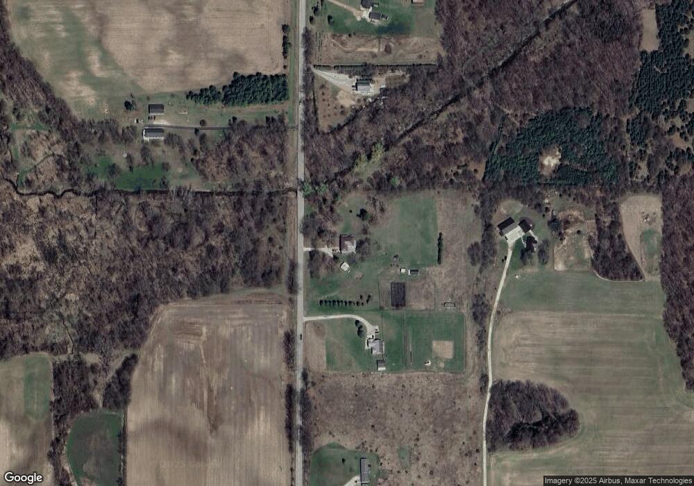
Map
Nearby Homes
- 7255 Beahan Rd
- V/L Stoneybrook Trail
- 306 Russell St
- 226 Church St
- 6928 Hubbardston Rd
- 8945 E Fenwick Rd
- 2830 Hayes Rd
- 4555 Charles St
- 4816 Cole Rd
- 225 N West St
- 115 N 2nd St
- 106 S 6th St
- 517 E Main St
- 4291 E Bricker Rd
- 304 W Pine St
- 310 W Linden St
- 0 E Charles Rd Unit 25053011
- 7518 S Crystal Rd
- Lot A Blackmer Rd
- 154 S Yates St
- 7300 Obrien Rd
- 7224 Obrien Rd
- 7226 Obrien Rd
- 7422 Obrien Rd
- 7090 Obrien Rd
- 7480 Obrien Rd
- 7028 O Brien Rd
- 10131 Borden Rd
- 7718 Obrien Rd
- 10062 Borden Rd
- 7726 Obrien Rd
- 7717 Obrien Rd
- 10445 Borden Rd
- 10411 Borden Rd
- 7764 Obrien Rd
- 9716 Borden Rd
- 7855 Obrien Rd
- 7855 O Brien Rd
- 9457 Borden Rd
- 10651 Borden Rd