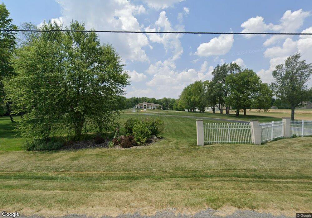
7300 Township Road 136 Findlay, OH 45840
Estimated Value: $568,000 - $840,970
4
Beds
2
Baths
3,579
Sq Ft
$197/Sq Ft
Est. Value
About This Home
This home is located at 7300 Township Road 136, Findlay, OH 45840 and is currently estimated at $704,485, approximately $196 per square foot. 7300 Township Road 136 is a home located in Hancock County with nearby schools including Liberty-Benton Elementary School, Liberty-Benton Middle School, and Liberty-Benton High School.
Ownership History
Date
Name
Owned For
Owner Type
Purchase Details
Closed on
Oct 20, 2017
Sold by
Nigh Nick E
Bought by
Nigh Nick E and Nigh Kimberly S
Current Estimated Value
Home Financials for this Owner
Home Financials are based on the most recent Mortgage that was taken out on this home.
Original Mortgage
$390,000
Interest Rate
3.78%
Mortgage Type
Future Advance Clause Open End Mortgage
Create a Home Valuation Report for This Property
The Home Valuation Report is an in-depth analysis detailing your home's value as well as a comparison with similar homes in the area
Home Values in the Area
Average Home Value in this Area
Purchase History
| Date | Buyer | Sale Price | Title Company |
|---|---|---|---|
| Nigh Nick E | -- | Flag City Title Agency Inc |
Source: Public Records
Mortgage History
| Date | Status | Borrower | Loan Amount |
|---|---|---|---|
| Closed | Nigh Nick E | $390,000 |
Source: Public Records
Tax History Compared to Growth
Tax History
| Year | Tax Paid | Tax Assessment Tax Assessment Total Assessment is a certain percentage of the fair market value that is determined by local assessors to be the total taxable value of land and additions on the property. | Land | Improvement |
|---|---|---|---|---|
| 2024 | $9,036 | $242,450 | $28,460 | $213,990 |
| 2023 | $8,824 | $242,450 | $28,460 | $213,990 |
| 2022 | $8,738 | $242,450 | $28,460 | $213,990 |
| 2021 | $7,940 | $194,480 | $25,460 | $169,020 |
| 2020 | $8,008 | $194,480 | $25,460 | $169,020 |
| 2019 | $7,684 | $194,480 | $25,460 | $169,020 |
| 2018 | $6,289 | $175,620 | $21,210 | $154,410 |
| 2017 | $3,239 | $175,330 | $21,210 | $154,120 |
| 2016 | $6,264 | $175,330 | $21,210 | $154,120 |
| 2015 | $7,063 | $192,230 | $21,210 | $171,020 |
| 2014 | $7,127 | $192,230 | $21,210 | $171,020 |
| 2012 | $6,786 | $175,280 | $21,210 | $154,070 |
Source: Public Records
Map
Nearby Homes
- 7780 Township Road 89
- 8922 Township Road 94
- 9960 W Us Route 224
- 0 County Road 140
- 0 County Road 95 Unit 6097574
- 9307 W State Route 12
- 8179 Hazelwood Dr
- 6535 Silver Lake Dr
- 8256 Silverwood Dr
- 2201 W Main Cross St
- 9220 Colonel Dr
- 0 County Road 223
- 0 Rock Candy Rd Unit Lot 159
- 0 Rock Candy Rd Unit Lot 170
- 0 Rock Candy Rd Unit Lot 172 206819
- 0 Rock Candy Rd Unit Lot 162
- 0 Rock Candy Rd Unit Lot 171
- 0 Rock Candy Rd Unit Lot 168
- 0 Rock Candy Rd Or Bushwillow Dr Unit Lot 173
- 9307 Hiegel Dr
- 7186 Township Road 136
- 7144 Township Road 136
- 7884 Driftwood Dr
- 7884 Driftwood Dr
- 7803 Township Road 94
- 7924 Driftwood Dr
- 7866 Driftwood Dr
- 7866 Driftwood Dr
- 7848 Driftwood Dr
- 7848 Driftwood Dr
- 7942 Driftwood Dr
- 7828 Driftwood Dr
- 7810 Driftwood Dr
- 7810 Driftwood Dr
- 7064 Township Road 136
- 7396 Township Road 136
- 7396 Township Road 136
- 7388 Westland Dr
- 7388 Westland Dr
- 7885 Driftwood Dr