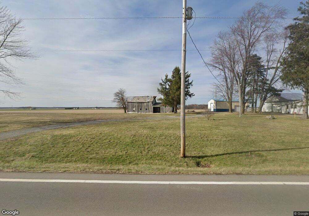
7300 W State Route 12 Findlay, OH 45840
Estimated Value: $152,000 - $267,000
3
Beds
2
Baths
1,682
Sq Ft
$138/Sq Ft
Est. Value
About This Home
This home is located at 7300 W State Route 12, Findlay, OH 45840 and is currently estimated at $231,574, approximately $137 per square foot. 7300 W State Route 12 is a home located in Hancock County with nearby schools including Liberty-Benton Elementary School, Liberty-Benton Middle School, and Liberty-Benton High School.
Ownership History
Date
Name
Owned For
Owner Type
Purchase Details
Closed on
Jun 24, 2019
Sold by
Phebus George T and Phebus Sharon Kay
Bought by
Miller Curtis J and Miller Donna Emily
Current Estimated Value
Home Financials for this Owner
Home Financials are based on the most recent Mortgage that was taken out on this home.
Original Mortgage
$130,000
Outstanding Balance
$85,073
Interest Rate
4%
Mortgage Type
New Conventional
Estimated Equity
$146,501
Purchase Details
Closed on
Aug 18, 2017
Sold by
Balicki John H and The Estate Of Phyllis J Moneer
Bought by
Phebus George T and Phebus Sharon Kay
Purchase Details
Closed on
Sep 28, 2016
Bought by
Phyllis J Moneer
Purchase Details
Closed on
Aug 22, 1989
Bought by
Moneer Raymond E and Moneer Phyllis
Create a Home Valuation Report for This Property
The Home Valuation Report is an in-depth analysis detailing your home's value as well as a comparison with similar homes in the area
Home Values in the Area
Average Home Value in this Area
Purchase History
| Date | Buyer | Sale Price | Title Company |
|---|---|---|---|
| Miller Curtis J | $170,000 | Whitman Title Security | |
| Phebus George T | $55,000 | Flag City Title | |
| Phyllis J Moneer | -- | -- | |
| Moneer Raymond E | $63,200 | -- |
Source: Public Records
Mortgage History
| Date | Status | Borrower | Loan Amount |
|---|---|---|---|
| Open | Miller Curtis J | $130,000 |
Source: Public Records
Tax History Compared to Growth
Tax History
| Year | Tax Paid | Tax Assessment Tax Assessment Total Assessment is a certain percentage of the fair market value that is determined by local assessors to be the total taxable value of land and additions on the property. | Land | Improvement |
|---|---|---|---|---|
| 2024 | $1,621 | $43,440 | $13,840 | $29,600 |
| 2023 | $1,583 | $43,440 | $13,840 | $29,600 |
| 2022 | $1,568 | $43,440 | $13,840 | $29,600 |
| 2021 | $1,199 | $29,270 | $11,730 | $17,540 |
| 2020 | $1,209 | $29,270 | $11,730 | $17,540 |
| 2019 | $1,164 | $29,270 | $11,730 | $17,540 |
| 2018 | $957 | $26,130 | $9,770 | $16,360 |
| 2017 | $494 | $26,130 | $9,770 | $16,360 |
| 2016 | $957 | $26,130 | $9,770 | $16,360 |
| 2015 | $419 | $19,710 | $9,770 | $9,940 |
| 2014 | $423 | $19,710 | $9,770 | $9,940 |
| 2012 | $394 | $18,720 | $9,770 | $8,950 |
Source: Public Records
Map
Nearby Homes
- 7780 Township Road 89
- 11741 Township Road 10
- 9307 W State Route 12
- 10601 County Road 9
- 9984 State Route 235
- 9653 Early Dr
- 9307 Hiegel Dr
- 3833 Bearcat Way
- 2201 W Main Cross St
- 12159 County Road 12
- 0 Bushwillow Dr Unit Lot 154
- 0 Bushwillow Dr Lot 156 Unit 6079046
- 0 Rock Candy Rd Lot 162 Unit 6079070
- 0 Bushwillow Dr Unit Lot 156
- 0 Bearcat Way Or 0 Rock Candy Rd Lot 167 Unit 6079083
- 0 Bushwillow Dr Lot 154 Unit 6079043
- 0 Rock Candy Rd Lot 171 Unit 6079088
- 0 County Road 99 Lot 2 Unit 6081480
- 0 Rock Candy Rd Lot 159 Unit 6079053
- 0 Bushwillow Dr Or Rock Candy Rd Lot 157 Unit 6079052
- 7300 Ohio 12
- 7227 W State Route 12
- 7406 W State Route 12
- 7069 W State Route 12
- 6992 W State Route 12
- 6987 W State Route 12
- 6987 W State Route 12
- 6982 W State Route 12
- 6982 State Route
- 6964 Ohio 12
- 6964 W State Route 12
- 6959 W State Route 12
- 9744 Township Road 130
- 6943 W State Route 12
- 6948 W State Route 12
- 6931 W State Route 12
- 6924 W State Route 12
- 6915 W State Route 12
- 6901 W State Route 12
- 6906 W State Route 12