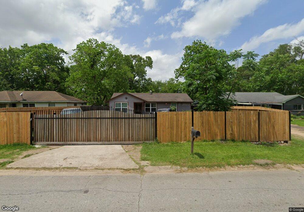
7301 Parker Rd Houston, TX 77016
East Little York NeighborhoodEstimated Value: $158,753 - $188,000
3
Beds
1
Bath
1,218
Sq Ft
$140/Sq Ft
Est. Value
About This Home
This home is located at 7301 Parker Rd, Houston, TX 77016 and is currently estimated at $170,938, approximately $140 per square foot. 7301 Parker Rd is a home located in Harris County with nearby schools including Shadydale Elementary School, Forest Brook Middle, and North Forest High School.
Ownership History
Date
Name
Owned For
Owner Type
Purchase Details
Closed on
Dec 12, 2016
Sold by
Murillo Martin
Bought by
Rodriguez Edith K Chagoya
Current Estimated Value
Purchase Details
Closed on
Oct 18, 2013
Sold by
Labarca Holdings Llc
Bought by
Murillo Martin
Purchase Details
Closed on
May 24, 2011
Sold by
Ruffin Donyell Deshon
Bought by
Ruffin Laren Larfattee
Purchase Details
Closed on
Nov 12, 1992
Sold by
Laird Donald R
Bought by
Ruffin Rosalind and Ruffin Laren
Create a Home Valuation Report for This Property
The Home Valuation Report is an in-depth analysis detailing your home's value as well as a comparison with similar homes in the area
Home Values in the Area
Average Home Value in this Area
Purchase History
| Date | Buyer | Sale Price | Title Company |
|---|---|---|---|
| Rodriguez Edith K Chagoya | -- | None Available | |
| Murillo Martin | -- | None Available | |
| Ruffin Laren Larfattee | -- | None Available | |
| Ruffin Laren Larfatte | -- | None Available | |
| Labarca Holdings Llc | -- | None Available | |
| Ruffin Rosalind | -- | -- |
Source: Public Records
Tax History Compared to Growth
Tax History
| Year | Tax Paid | Tax Assessment Tax Assessment Total Assessment is a certain percentage of the fair market value that is determined by local assessors to be the total taxable value of land and additions on the property. | Land | Improvement |
|---|---|---|---|---|
| 2025 | $734 | $153,085 | $52,287 | $100,798 |
| 2024 | $734 | $146,366 | $52,287 | $94,079 |
| 2023 | $625 | $171,818 | $43,272 | $128,546 |
| 2022 | $1,361 | $138,485 | $36,060 | $102,425 |
| 2021 | $1,309 | $122,001 | $27,045 | $94,956 |
| 2020 | $1,237 | $52,548 | $18,751 | $33,797 |
| 2019 | $1,175 | $46,424 | $12,333 | $34,091 |
| 2018 | $968 | $38,256 | $12,333 | $25,923 |
| 2017 | $967 | $38,256 | $12,333 | $25,923 |
| 2016 | $967 | $38,256 | $12,333 | $25,923 |
| 2015 | $667 | $30,537 | $12,333 | $18,204 |
| 2014 | $667 | $25,957 | $12,333 | $13,624 |
Source: Public Records
Map
Nearby Homes
- 7234 Boggess Rd
- 7252 Parker Rd
- 7306 Parker Rd
- 7220 Parker Rd
- 7305 Yoe St
- 10124 Homestead Rd
- 10120 Homestead Rd
- 10128 Homestead Rd
- 7210 Colton St
- 7402 Yoe St
- 10806 Bird of Paradise Ln
- 10808 Bird of Paradise Ln
- 10810 Bird of Paradise Ln
- 10201 Homestead Rd
- 0 Bretshire Dr Unit 83088734
- 0 Bretshire Dr Unit 61965426
- 10122 Rockaway Dr
- 7226 Gore Dr
- 10317 Kelburn Dr
- 7218 Bretshire Dr