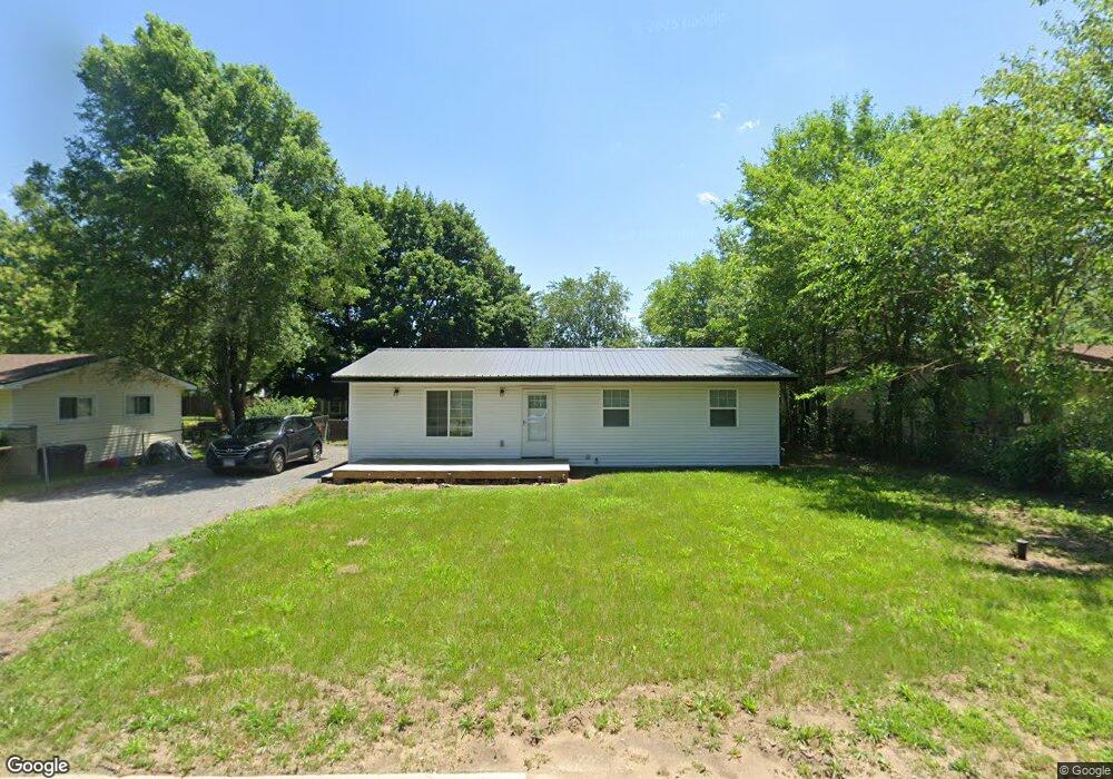
7302 E 2nd St Saint Anne, IL 60964
Estimated Value: $76,000 - $199,000
Studio
--
Bath
--
Sq Ft
8,973
Sq Ft
About This Home
This home is located at 7302 E 2nd St, Saint Anne, IL 60964 and is currently estimated at $136,029. 7302 E 2nd St is a home located in Kankakee County with nearby schools including Momence Junior High School, Je-Neir Elementary School, and Momence High School.
Ownership History
Date
Name
Owned For
Owner Type
Purchase Details
Closed on
May 22, 2024
Sold by
Cain Marcus and Cain Kristina
Bought by
Collins Marikay
Current Estimated Value
Home Financials for this Owner
Home Financials are based on the most recent Mortgage that was taken out on this home.
Original Mortgage
$123,190
Outstanding Balance
$121,463
Interest Rate
6.88%
Mortgage Type
New Conventional
Estimated Equity
$14,566
Purchase Details
Closed on
Jan 20, 2021
Sold by
Trust No 06-10-33-301-012
Bought by
Cain Marcus and Cain Kristina
Purchase Details
Closed on
Sep 29, 2020
Sold by
County Clerk Of County Of Kankakee
Bought by
Trust No 06-10-33-301-012
Create a Home Valuation Report for This Property
The Home Valuation Report is an in-depth analysis detailing your home's value as well as a comparison with similar homes in the area
Purchase History
| Date | Buyer | Sale Price | Title Company |
|---|---|---|---|
| Collins Marikay | $127,000 | Kankakee County Title | |
| Cain Marcus | -- | Schrimpf Stephen P | |
| Trust No 06-10-33-301-012 | -- | Schrimpf Stephen P |
Source: Public Records
Mortgage History
| Date | Status | Borrower | Loan Amount |
|---|---|---|---|
| Open | Collins Marikay | $123,190 |
Source: Public Records
Tax History
| Year | Tax Paid | Tax Assessment Tax Assessment Total Assessment is a certain percentage of the fair market value that is determined by local assessors to be the total taxable value of land and additions on the property. | Land | Improvement |
|---|---|---|---|---|
| 2024 | $2,294 | $29,561 | $2,710 | $26,851 |
| 2023 | $2,322 | $29,561 | $2,710 | $26,851 |
| 2022 | $2,142 | $26,153 | $2,710 | $23,443 |
| 2021 | $2,192 | $26,153 | $2,710 | $23,443 |
| 2020 | $2,323 | $26,153 | $2,710 | $23,443 |
| 2019 | $2,323 | $26,153 | $2,710 | $23,443 |
| 2018 | $2,292 | $26,153 | $2,710 | $23,443 |
| 2017 | $2,284 | $26,153 | $2,710 | $23,443 |
| 2016 | $2,257 | $26,153 | $2,710 | $23,443 |
| 2015 | $1,320 | $26,153 | $2,710 | $23,443 |
| 2014 | $1,305 | $26,153 | $2,710 | $23,443 |
| 2013 | -- | $26,619 | $2,758 | $23,861 |
Source: Public Records
Map
Nearby Homes
- 0000 E 4th St
- 0000 N Roosevelt Ave
- 0000 E Cedar Trail
- 6340 E River Ct
- 97 N Pearl St
- 6012 Muriel Ln
- 864 Ash Dr
- 1393 Oakleaf Dr
- 1401 Oakleaf Dr
- 1611 Quail Dr
- NONE, S Hieland Rd
- 7861 E 2250s Rd
- 6045 E 2250s Rd
- Lot 1 E 2000 Rd N
- 00 S Oaklawn Dr
- 1588 Bittersweet Dr
- 1698 Bittersweet Dr
- 1221 N State Route 1 17
- 3926 E Chestnut St
- 5827 E 3500s Rd
Your Personal Tour Guide
Ask me questions while you tour the home.