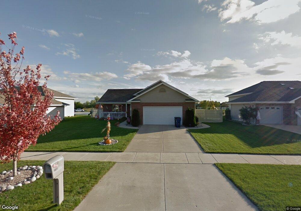
7303 W 92nd Ln Crown Point, IN 46307
Saint John NeighborhoodEstimated Value: $396,000 - $453,000
3
Beds
3
Baths
2,240
Sq Ft
$186/Sq Ft
Est. Value
About This Home
This home is located at 7303 W 92nd Ln, Crown Point, IN 46307 and is currently estimated at $417,061, approximately $186 per square foot. 7303 W 92nd Ln is a home located in Lake County with nearby schools including Kolling Elementary School, Hal E Clark Middle School, and Lake Central High School.
Ownership History
Date
Name
Owned For
Owner Type
Purchase Details
Closed on
May 2, 2008
Sold by
Webb Thomas A
Bought by
Gossett Gary W and Gossett Victoria I
Current Estimated Value
Home Financials for this Owner
Home Financials are based on the most recent Mortgage that was taken out on this home.
Original Mortgage
$220,539
Outstanding Balance
$139,666
Interest Rate
5.88%
Mortgage Type
Purchase Money Mortgage
Estimated Equity
$277,395
Create a Home Valuation Report for This Property
The Home Valuation Report is an in-depth analysis detailing your home's value as well as a comparison with similar homes in the area
Home Values in the Area
Average Home Value in this Area
Purchase History
| Date | Buyer | Sale Price | Title Company |
|---|---|---|---|
| Gossett Gary W | -- | Ticor Title Schererville |
Source: Public Records
Mortgage History
| Date | Status | Borrower | Loan Amount |
|---|---|---|---|
| Open | Gossett Gary W | $220,539 |
Source: Public Records
Tax History Compared to Growth
Tax History
| Year | Tax Paid | Tax Assessment Tax Assessment Total Assessment is a certain percentage of the fair market value that is determined by local assessors to be the total taxable value of land and additions on the property. | Land | Improvement |
|---|---|---|---|---|
| 2024 | $6,660 | $341,900 | $68,100 | $273,800 |
| 2023 | $2,961 | $329,400 | $68,100 | $261,300 |
| 2022 | $3,091 | $307,600 | $68,100 | $239,500 |
| 2021 | $2,832 | $290,100 | $68,100 | $222,000 |
| 2020 | $3,257 | $319,300 | $53,100 | $266,200 |
| 2019 | $3,081 | $283,800 | $53,100 | $230,700 |
| 2018 | $3,175 | $283,000 | $53,100 | $229,900 |
| 2017 | $3,069 | $283,000 | $53,100 | $229,900 |
| 2016 | $2,718 | $257,600 | $53,100 | $204,500 |
| 2014 | $2,479 | $250,800 | $53,100 | $197,700 |
| 2013 | $2,591 | $256,000 | $53,100 | $202,900 |
Source: Public Records
Map
Nearby Homes
- 6915 W 93rd Ave
- 8903 Edison St
- 6640 W 89th Ave
- 6308 W 91st Ave
- The Torbet Plan at Walden Clearing - Manors at Walden Clearing
- Dune Plan at Walden Clearing - Manors at Walden Clearing
- The Harper Plan at Walden Clearing - Manors at Walden Clearing
- The Princeton Plan at Walden Clearing - Manors at Walden Clearing
- Harrison Plan at Walden Clearing - Manors at Walden Clearing
- The Powell II Plan at Walden Clearing - Manors at Walden Clearing
- The Augusta Plan at Walden Clearing - Manors at Walden Clearing
- Clifty Plan at Walden Clearing - Manors at Walden Clearing
- Martin Plan at Walden Clearing - Manors at Walden Clearing
- The Bennett Plan at Walden Clearing - Manors at Walden Clearing
- The Elbert Plan at Walden Clearing - Manors at Walden Clearing
- The Rainier Plan at Walden Clearing - Manors at Walden Clearing
- The Huxley Plan at Walden Clearing - Manors at Walden Clearing
- 6501 W 89th Ave
- 8312 Wyman Dr
- 6440 W 89th Ave
- 7313 W 92nd Ln
- 7237 W 92nd Ln
- 9234 Morse Place
- 7323 W 92nd Ln
- 7302 W 92nd Ln
- 9230 Morse Place
- 7312 W 92nd Ln
- 7236 W 92nd Ln
- 9240 Morse Place
- 7333 W 92nd Ln
- 7322 W 92nd Ln
- 9229 Morse Place
- 9221 Morse Place
- 9245 Morse Place
- 9213 Morse Place
- 9235 Morse Place
- 7332 W 92nd Ln
- 7401 W 92nd Ln
- 7303 W 92nd Ave
- 9207 Morse Place