7305 Bob o Link Way Port Saint Lucie, FL 34986
The Reserve NeighborhoodEstimated Value: $461,000 - $481,000
3
Beds
2
Baths
2,112
Sq Ft
$222/Sq Ft
Est. Value
About This Home
This home is located at 7305 Bob o Link Way, Port Saint Lucie, FL 34986 and is currently estimated at $469,427, approximately $222 per square foot. 7305 Bob o Link Way is a home located in St. Lucie County with nearby schools including West Gate K-8 School, Oak Hammock K-8 School, and Bayshore Elementary School.
Ownership History
Date
Name
Owned For
Owner Type
Purchase Details
Closed on
Feb 5, 2005
Sold by
Reserve Homes Ltd Lp
Bought by
Tauber Robert S and Tauber Marilyn S
Current Estimated Value
Home Financials for this Owner
Home Financials are based on the most recent Mortgage that was taken out on this home.
Original Mortgage
$150,000
Outstanding Balance
$76,092
Interest Rate
5.72%
Mortgage Type
Purchase Money Mortgage
Estimated Equity
$393,335
Create a Home Valuation Report for This Property
The Home Valuation Report is an in-depth analysis detailing your home's value as well as a comparison with similar homes in the area
Home Values in the Area
Average Home Value in this Area
Purchase History
| Date | Buyer | Sale Price | Title Company |
|---|---|---|---|
| Tauber Robert S | $289,300 | Chelsea Title Company |
Source: Public Records
Mortgage History
| Date | Status | Borrower | Loan Amount |
|---|---|---|---|
| Open | Tauber Robert S | $150,000 |
Source: Public Records
Tax History Compared to Growth
Tax History
| Year | Tax Paid | Tax Assessment Tax Assessment Total Assessment is a certain percentage of the fair market value that is determined by local assessors to be the total taxable value of land and additions on the property. | Land | Improvement |
|---|---|---|---|---|
| 2024 | $3,792 | $214,093 | -- | -- |
| 2023 | $3,792 | $207,858 | $0 | $0 |
| 2022 | $3,605 | $201,804 | $0 | $0 |
| 2021 | $3,602 | $195,927 | $0 | $0 |
| 2020 | $3,597 | $193,222 | $0 | $0 |
| 2019 | $3,547 | $188,878 | $0 | $0 |
| 2018 | $3,329 | $185,357 | $0 | $0 |
| 2017 | $3,291 | $224,700 | $55,000 | $169,700 |
| 2016 | $3,200 | $238,700 | $71,500 | $167,200 |
| 2015 | $3,242 | $221,200 | $69,300 | $151,900 |
| 2014 | $3,170 | $175,174 | $0 | $0 |
Source: Public Records
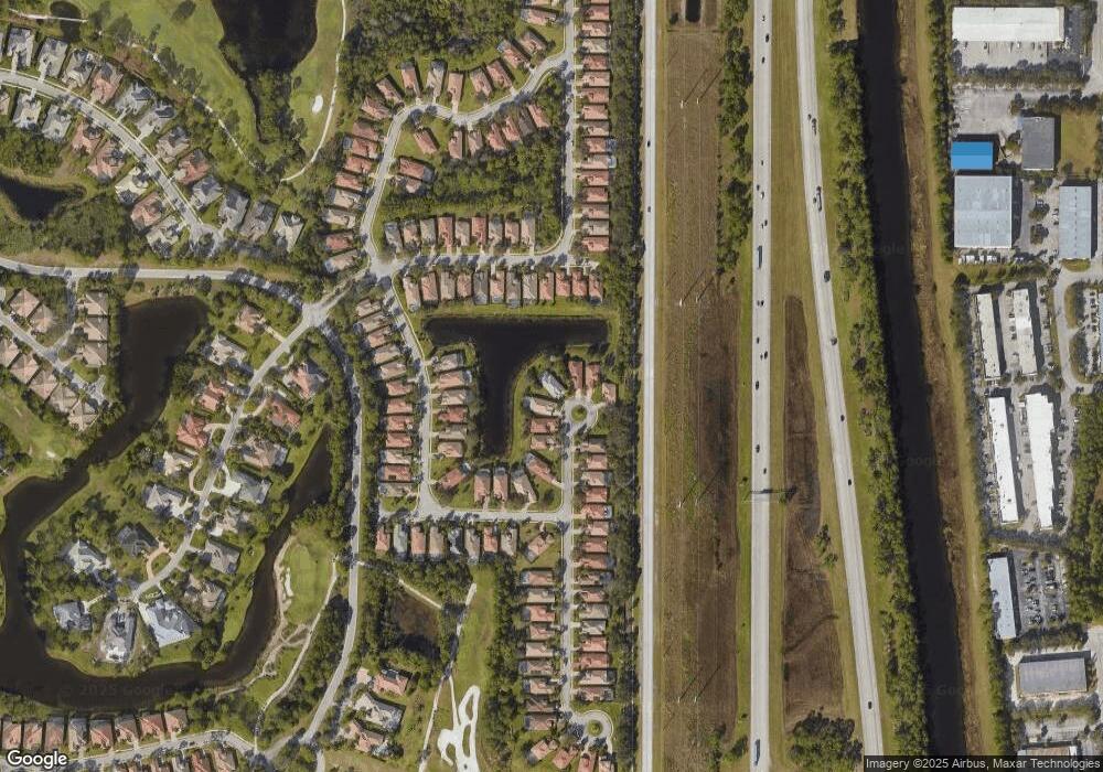
Map
Nearby Homes
- 7233 Maidstone Dr
- 9116 Pumpkin Ridge
- 9148 Pumpkin Ridge
- 7144 Maidstone Dr
- 7429 Bob o Link Way
- 9046 Pumpkin Ridge
- 9316 Scarborough Ct
- 9320 Scarborough Ct
- 167 NW Hazard Way
- 258 NW Hazard Way
- 316 NW Chipshot Ln
- 219 NW Chipshot Ln
- 324 NW Chipshot Ln
- 274 NW Hazard Way
- 184 NW Hazard Way
- 168 NW Hazard Way
- 264 NW Hazard Way
- 178 NW Hazard Way
- 161 NW Hazard Way
- 265 NW Hazard Way
- 7301 Bob o Link Way
- 7309 Bob o Link Way
- 7300 Bob o Link Way
- 7313 Bob o Link Way
- 7304 Bob o Link Way
- 7317 Bob o Link Way
- 7318 Bob o Link Way
- 7327 Bob o Link Way
- 7212 Maidstone Dr
- 7216 Maidstone Dr
- 7322 Bob o Link Way
- 9125 Pumpkin Ridge
- 7204 Maidstone Dr
- 9121 Pumpkin Ridge
- 7220 Maidstone Dr
- 9129 Pumpkin Ridge
- 7200 Maidstone Dr
- 7224 Maidstone Dr
- 9133 Pumpkin Ridge
- 7326 Bob o Link Way