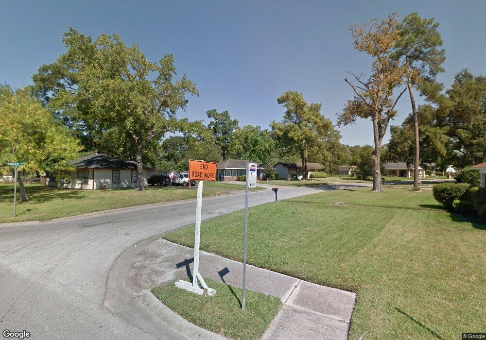
7305 Caddo Rd Houston, TX 77016
East Little York NeighborhoodEstimated Value: $156,000 - $173,000
3
Beds
2
Baths
1,186
Sq Ft
$140/Sq Ft
Est. Value
About This Home
This home is located at 7305 Caddo Rd, Houston, TX 77016 and is currently estimated at $165,508, approximately $139 per square foot. 7305 Caddo Rd is a home located in Harris County with nearby schools including Shadydale Elementary School, Forest Brook Middle, and North Forest High School.
Ownership History
Date
Name
Owned For
Owner Type
Purchase Details
Closed on
Feb 17, 2004
Sold by
Walker Sandra K
Bought by
Wesley Sandra K
Current Estimated Value
Home Financials for this Owner
Home Financials are based on the most recent Mortgage that was taken out on this home.
Original Mortgage
$50,000
Outstanding Balance
$23,009
Interest Rate
5.67%
Mortgage Type
Stand Alone First
Estimated Equity
$142,499
Purchase Details
Closed on
Mar 3, 1995
Sold by
Walker Theodore A
Bought by
Walker Sandra K
Create a Home Valuation Report for This Property
The Home Valuation Report is an in-depth analysis detailing your home's value as well as a comparison with similar homes in the area
Home Values in the Area
Average Home Value in this Area
Purchase History
| Date | Buyer | Sale Price | Title Company |
|---|---|---|---|
| Wesley Sandra K | -- | Fidelity National Title | |
| Walker Sandra K | -- | -- |
Source: Public Records
Mortgage History
| Date | Status | Borrower | Loan Amount |
|---|---|---|---|
| Open | Wesley Sandra K | $50,000 |
Source: Public Records
Tax History Compared to Growth
Tax History
| Year | Tax Paid | Tax Assessment Tax Assessment Total Assessment is a certain percentage of the fair market value that is determined by local assessors to be the total taxable value of land and additions on the property. | Land | Improvement |
|---|---|---|---|---|
| 2025 | $1,960 | $161,652 | $55,825 | $105,827 |
| 2024 | $1,960 | $156,529 | $55,825 | $100,704 |
| 2023 | $1,960 | $169,203 | $46,200 | $123,003 |
| 2022 | $1,948 | $136,855 | $38,500 | $98,355 |
| 2021 | $1,874 | $120,157 | $28,875 | $91,282 |
| 2020 | $1,465 | $81,675 | $20,020 | $61,655 |
| 2019 | $1,217 | $65,878 | $13,167 | $52,711 |
| 2018 | $588 | $53,679 | $13,167 | $40,512 |
| 2017 | $1,005 | $53,679 | $13,167 | $40,512 |
| 2016 | $914 | $53,679 | $13,167 | $40,512 |
| 2015 | $436 | $40,726 | $13,167 | $27,559 |
| 2014 | $436 | $34,230 | $13,167 | $21,063 |
Source: Public Records
Map
Nearby Homes
- 7242 Bretshire Dr
- 7218 Bretshire Dr
- 0 Bretshire Dr Unit 83088734
- 0 Bretshire Dr Unit 61965426
- 7220 Parker Rd
- 7338 Bigwood St
- 7314 Sterlingshire St
- 7252 Parker Rd
- 7305 Yoe St
- 7306 Parker Rd
- 0 Wileyvale Rd Unit 37533417
- 0 Laura Koppe Rd Unit 64066450
- 0 Lockwood Unit 97801497
- 0 Wileyvale Rd Unit 98938709
- 9702 Crofton St
- 7402 Yoe St
- 10120 Homestead Rd
- 7234 Boggess Rd
- 10124 Homestead Rd
- 10128 Homestead Rd
- 7309 Caddo Rd
- 7229 Bretshire Dr
- 7225 Bretshire Dr
- 7230 Bretshire Dr
- 7313 Caddo Rd
- 7228 Rhobell St
- 7224 Rhobell St
- 7232 Rhobell St
- 7221 Bretshire Dr
- 7220 Rhobell St
- 7306 Caddo Rd
- 7236 Rhobell St
- 7317 Caddo Rd
- 7302 Caddo Rd
- 7217 Bretshire Dr
- 7310 Caddo Rd
- 7234 Bretshire Dr
- 7216 Rhobell St
- 7226 Bretshire Dr
- 7240 Rhobell St