7305 Davies Dr NE Rockford, MI 49341
Estimated Value: $459,000 - $666,000
--
Bed
--
Bath
1,564
Sq Ft
$368/Sq Ft
Est. Value
About This Home
This home is located at 7305 Davies Dr NE, Rockford, MI 49341 and is currently estimated at $574,846, approximately $367 per square foot. 7305 Davies Dr NE is a home located in Kent County with nearby schools including Lakes Elementary School, East Rockford Middle School, and Rockford High School Freshman Center.
Ownership History
Date
Name
Owned For
Owner Type
Purchase Details
Closed on
Jan 2, 2007
Sold by
Burgess Roger and Esther L Haken Revocable Trust
Bought by
Marvin Richard A and Marvin Laurie E
Current Estimated Value
Home Financials for this Owner
Home Financials are based on the most recent Mortgage that was taken out on this home.
Original Mortgage
$376,100
Outstanding Balance
$224,756
Interest Rate
6.21%
Mortgage Type
Purchase Money Mortgage
Estimated Equity
$350,090
Create a Home Valuation Report for This Property
The Home Valuation Report is an in-depth analysis detailing your home's value as well as a comparison with similar homes in the area
Home Values in the Area
Average Home Value in this Area
Purchase History
| Date | Buyer | Sale Price | Title Company |
|---|---|---|---|
| Marvin Richard A | $417,900 | None Available |
Source: Public Records
Mortgage History
| Date | Status | Borrower | Loan Amount |
|---|---|---|---|
| Open | Marvin Richard A | $376,100 |
Source: Public Records
Tax History Compared to Growth
Tax History
| Year | Tax Paid | Tax Assessment Tax Assessment Total Assessment is a certain percentage of the fair market value that is determined by local assessors to be the total taxable value of land and additions on the property. | Land | Improvement |
|---|---|---|---|---|
| 2025 | $2,653 | $270,500 | $0 | $0 |
| 2024 | $2,653 | $250,400 | $0 | $0 |
| 2023 | $2,538 | $218,400 | $0 | $0 |
| 2022 | $3,777 | $189,200 | $0 | $0 |
| 2021 | $3,570 | $181,600 | $0 | $0 |
| 2020 | $2,349 | $168,000 | $0 | $0 |
| 2019 | $3,534 | $155,200 | $0 | $0 |
| 2018 | $3,676 | $154,400 | $70,400 | $84,000 |
| 2017 | $3,489 | $150,500 | $0 | $0 |
| 2016 | $3,313 | $146,700 | $0 | $0 |
| 2015 | -- | $146,700 | $0 | $0 |
| 2013 | -- | $145,200 | $0 | $0 |
Source: Public Records
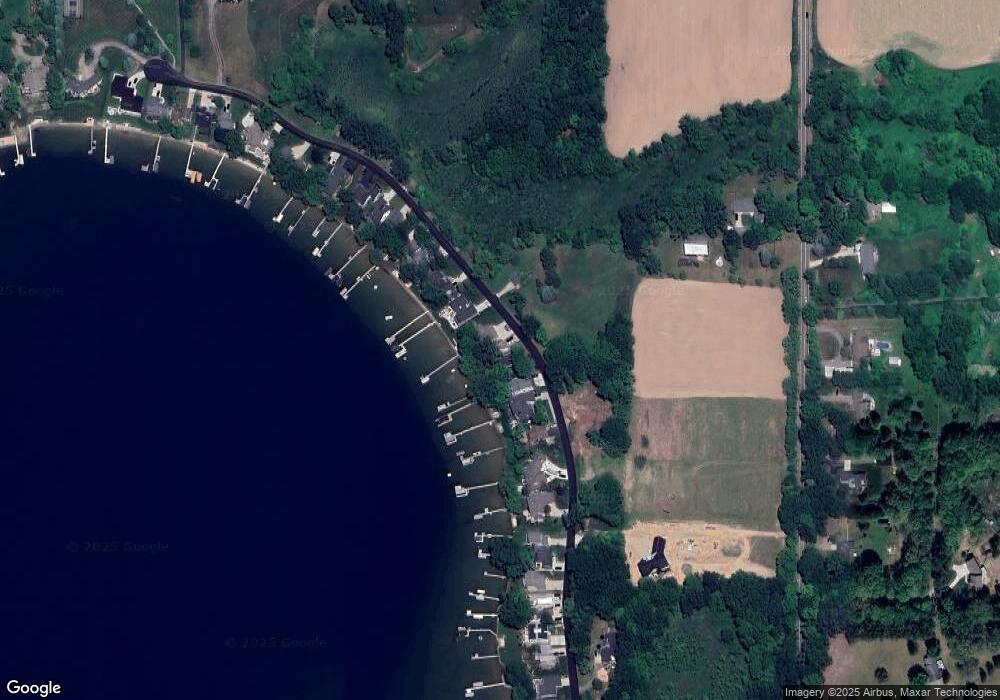
Map
Nearby Homes
- 7217 Davies Dr NE
- 8698 9 Mile Rd NE
- 7027 Goldenrod Ave NE
- 7277 Tillicum Trail NE Unit 3
- 7350 Young Ave NE
- 6817 Martin View St NE
- 9080 Old Belding Rd NE
- Wilshire Plan at Villages of Silver Lake - Villages of Silver Lake
- Remington Plan at Villages of Silver Lake - Villages of Silver Lake
- Linden Plan at Villages of Silver Lake - Villages of Silver Lake
- Enclave Plan at Villages of Silver Lake - Villages of Silver Lake
- Croswell Plan at Villages of Silver Lake - Villages of Silver Lake
- Cascade Plan at Villages of Silver Lake - Villages of Silver Lake
- Carson Plan at Villages of Silver Lake - Villages of Silver Lake
- Avery Plan at Villages of Silver Lake - Villages of Silver Lake
- Ashton Plan at Villages of Silver Lake - Villages of Silver Lake
- Andover Plan at Villages of Silver Lake - Villages of Silver Lake
- Sycamore -2535 Plan at Villages of Silver Lake - Woodland Series
- Sycamore -2531 Plan at Villages of Silver Lake - Woodland Series
- Sycamore-2089 Plan at Villages of Silver Lake - Woodland Series
- 7311 Davies Dr NE
- 7293 Davies Dr NE
- 7285 Davies Dr NE
- 7283 Davies Dr NE
- 7325 Davies Dr NE
- 7281 Davies Dr NE
- 7326 Davies Dr NE
- 7327 Davies Dr NE
- 7269 Davies Dr NE
- 7339 Davies Dr NE
- 7259 Davies Dr NE
- 7343 Davies Dr NE
- 7353 Davies Dr NE
- 7241 Davies Dr NE
- 0 Davies Dr NE
- B-1 Davies Dr NE
- 7231 Davies Dr NE
- 7357 Davies Dr NE
- 7223 Davies Dr NE
- 7367 Davies Dr NE