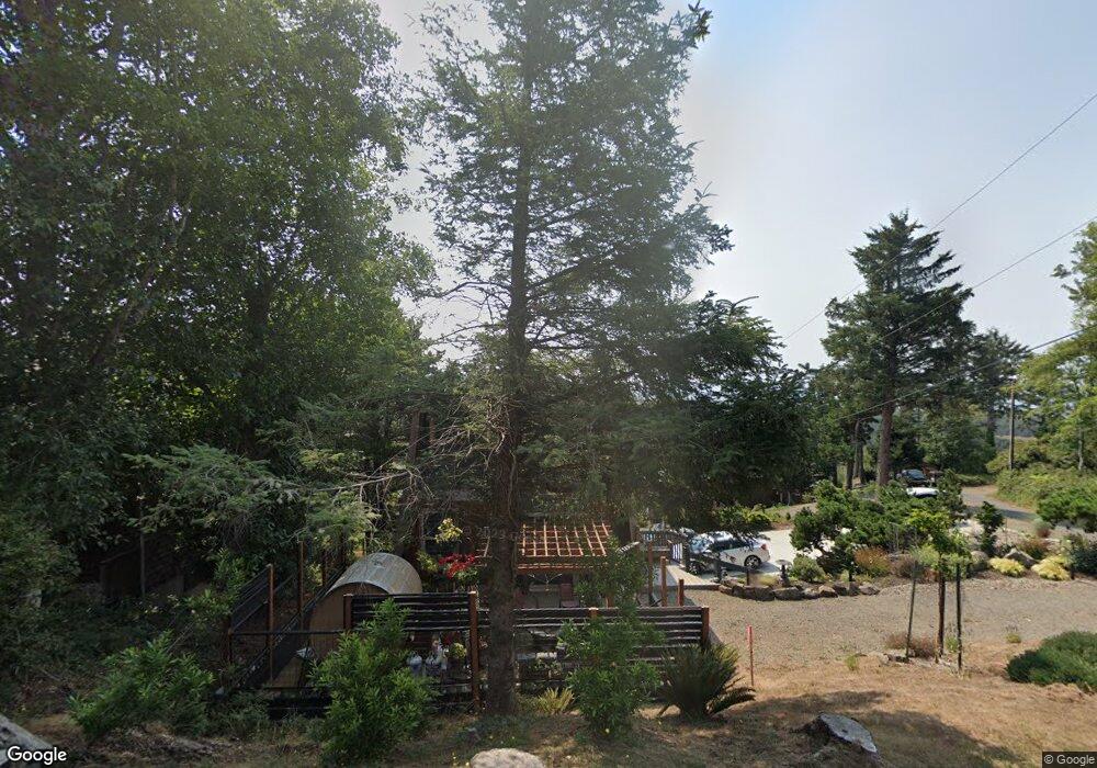
7305 Summit Rd Cloverdale, OR 97112
Estimated Value: $717,000 - $1,015,000
3
Beds
3
Baths
1,674
Sq Ft
$491/Sq Ft
Est. Value
About This Home
This home is located at 7305 Summit Rd, Cloverdale, OR 97112 and is currently estimated at $822,049, approximately $491 per square foot. 7305 Summit Rd is a home with nearby schools including Nestucca K-8 School and Nestucca High School.
Ownership History
Date
Name
Owned For
Owner Type
Purchase Details
Closed on
Oct 4, 2023
Sold by
Mounce Richard and Mounce Laura
Bought by
Mounce Living Trust and Mounce
Current Estimated Value
Purchase Details
Closed on
Jun 25, 2019
Sold by
Broad Street Funding Trust I
Bought by
Mounce Richard and Mounce Laura
Home Financials for this Owner
Home Financials are based on the most recent Mortgage that was taken out on this home.
Original Mortgage
$213,037
Interest Rate
3.82%
Mortgage Type
Commercial
Purchase Details
Closed on
Dec 28, 2018
Sold by
White Ouska Doris
Bought by
Broad Street Funding Trust I
Purchase Details
Closed on
Apr 13, 2012
Sold by
Ouska Joseph A and Ouska Doris
Bought by
Ouska Joseph A and Ouska Doris
Home Financials for this Owner
Home Financials are based on the most recent Mortgage that was taken out on this home.
Original Mortgage
$397,500
Interest Rate
3.84%
Mortgage Type
Credit Line Revolving
Create a Home Valuation Report for This Property
The Home Valuation Report is an in-depth analysis detailing your home's value as well as a comparison with similar homes in the area
Home Values in the Area
Average Home Value in this Area
Purchase History
| Date | Buyer | Sale Price | Title Company |
|---|---|---|---|
| Mounce Living Trust | -- | None Listed On Document | |
| Mounce Richard | $284,050 | Ticor Title | |
| Broad Street Funding Trust I | $299,226 | None Available | |
| Ouska Joseph A | -- | First American |
Source: Public Records
Mortgage History
| Date | Status | Borrower | Loan Amount |
|---|---|---|---|
| Previous Owner | Mounce Richard | $213,037 | |
| Previous Owner | Ouska Joseph A | $397,500 |
Source: Public Records
Tax History Compared to Growth
Tax History
| Year | Tax Paid | Tax Assessment Tax Assessment Total Assessment is a certain percentage of the fair market value that is determined by local assessors to be the total taxable value of land and additions on the property. | Land | Improvement |
|---|---|---|---|---|
| 2024 | $4,248 | $351,860 | $136,830 | $215,030 |
| 2023 | $4,219 | $341,620 | $132,850 | $208,770 |
| 2022 | $4,070 | $331,670 | $128,980 | $202,690 |
| 2021 | $3,974 | $322,010 | $125,220 | $196,790 |
| 2020 | $3,111 | $250,600 | $120,260 | $130,340 |
| 2019 | $3,042 | $243,310 | $116,760 | $126,550 |
| 2018 | $2,540 | $236,230 | $113,360 | $122,870 |
| 2017 | $2,322 | $229,350 | $110,060 | $119,290 |
| 2016 | $2,282 | $222,670 | $106,850 | $115,820 |
| 2015 | $2,230 | $216,190 | $103,740 | $112,450 |
| 2014 | $2,186 | $209,900 | $100,720 | $109,180 |
| 2013 | -- | $203,790 | $97,790 | $106,000 |
Source: Public Records
Map
Nearby Homes
- LOT 4 Fisher Rd
- Lot100/200 Fisher Rd
- 14901 E Summit Rd
- 35565 Lower Loop Rd
- 35565 & 35530 Lower Loop Rd
- 35495 Riverview Dr
- 35445 Topping Rd
- Lot 13 Brooten Mountain Rd
- 07200 Brooten Mountain Rd
- TL 07200 Brooten Mountain Rd
- 7470 &7480 Kingfisher Loop Unit Lots 59 & 60
- Lot 56 Kingfisher Loop
- 7850 Brooten Mountain Loop
- 7835 Brooten Mountain Loop
- 7700 Simmons Rd
- 7490 Elderberry Ln
- 7490 Elderberry Ln Unit 2
- 0 Dana Lane Ct
- TL 1404 Valley View
- 3 Reddekopp Rd
- 7305 E Summit Rd
- 7325 E Summit Rd
- 11100 Saghalie Ln
- 7350 S Circle Dr
- TL12800 S Circle Dr
- 12700 S Circle Dr
- 00 S Circle Dr
- ooo S Circle Dr
- V/L S Circle Dr
- Lot #3 S Circle Dr
- 12800 S Circle Dr
- 73000 S Circle Dr
- 7315 S Circle Dr
- 7310 Summit Rd
- 7300 S Circle Dr
- 7320 Summit Rd
- 7345 E Summit Rd
- 7307 S Circle Dr
- 7360 S Circle Dr
- 35450 Riverview Dr