7305 W 12th St Sioux Falls, SD 57106
Northwest Sioux Falls NeighborhoodEstimated Value: $257,000 - $636,000
2
Beds
1
Bath
1,236
Sq Ft
$382/Sq Ft
Est. Value
About This Home
This home is located at 7305 W 12th St, Sioux Falls, SD 57106 and is currently estimated at $471,667, approximately $381 per square foot. 7305 W 12th St is a home located in Minnehaha County with nearby schools including Discovery Elementary School, Memorial Middle School, and Jefferson High School - 67.
Ownership History
Date
Name
Owned For
Owner Type
Purchase Details
Closed on
Aug 23, 2022
Sold by
Lbl Enterprises Llc
Bought by
Fortney Holdings Llc
Current Estimated Value
Purchase Details
Closed on
Aug 5, 2019
Sold by
Rens Bert
Bought by
Lbl Enterprises Llc
Home Financials for this Owner
Home Financials are based on the most recent Mortgage that was taken out on this home.
Original Mortgage
$520,000
Interest Rate
3.7%
Mortgage Type
Commercial
Create a Home Valuation Report for This Property
The Home Valuation Report is an in-depth analysis detailing your home's value as well as a comparison with similar homes in the area
Home Values in the Area
Average Home Value in this Area
Purchase History
| Date | Buyer | Sale Price | Title Company |
|---|---|---|---|
| Fortney Holdings Llc | $670,000 | -- | |
| Fortney Holdings Llc | $670,000 | -- | |
| Lbl Enterprises Llc | $450,000 | Stewart Title Company |
Source: Public Records
Mortgage History
| Date | Status | Borrower | Loan Amount |
|---|---|---|---|
| Previous Owner | Lbl Enterprises Llc | $520,000 |
Source: Public Records
Tax History
| Year | Tax Paid | Tax Assessment Tax Assessment Total Assessment is a certain percentage of the fair market value that is determined by local assessors to be the total taxable value of land and additions on the property. | Land | Improvement |
|---|---|---|---|---|
| 2024 | $3,815 | $209,200 | $209,200 | $0 |
| 2023 | $6,533 | $342,000 | $222,300 | $119,700 |
| 2022 | $3,237 | $213,200 | $81,500 | $131,700 |
| 2021 | $3,094 | $186,500 | $0 | $0 |
| 2020 | $3,094 | $198,670 | $0 | $0 |
| 2019 | $2,322 | $192,711 | $0 | $0 |
| 2018 | $2,130 | $188,015 | $0 | $0 |
| 2017 | $2,122 | $179,338 | $74,070 | $105,268 |
| 2016 | $2,122 | $179,338 | $74,070 | $105,268 |
| 2015 | $2,144 | $173,343 | $70,320 | $103,023 |
| 2014 | $2,136 | $175,198 | $70,320 | $104,878 |
Source: Public Records
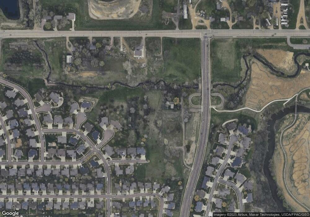
Map
Nearby Homes
- 7505 W 15th St
- 223 N La Mesa Dr
- 809 S Outlook Dr
- 7512 W Stoney Creek St
- 7209 W Stoney Creek St
- 811 S Discovery Ave
- 7816 W Kelsey Cir
- 8016 W Browning St
- 1201 S Montpelier Ave Ave
- 1244 S Stoney Pointe Ct
- 1400 S Hyde Park Ave
- 1301 S Hyannis Port Ln
- 6305 W Westview Rd
- 516 S Mary Gene Ave
- 824 S Tanglewood Ave
- 100 N Bryggen Place
- 102 N Bryggen Place
- 104 N Bryggen Place
- 6632 W 6th Place
- 106 N Bryggen Place
- 7309 W 12th St
- 7201 W 12th St
- 7300 W 12th St
- 7401 W 12th St
- 7401 W 12th St St
- 7405 W 12th St
- 501 S Sertoma Ave
- 7200 W 12th St
- 7501 W 12th St
- 505 S Sertoma Ave
- 7106 W 12th St
- 7509 W 12th St
- 7104 W 12th St
- 7501 W Tayberry Cir
- 7500 W Tayberry Cir
- 7510 W 12th St
- 7400 W Rocky Ridge Cir
- 601 S Sertoma Ave
- 7102 W 12th St
- 7504 W Tayberry Cir
Your Personal Tour Guide
Ask me questions while you tour the home.