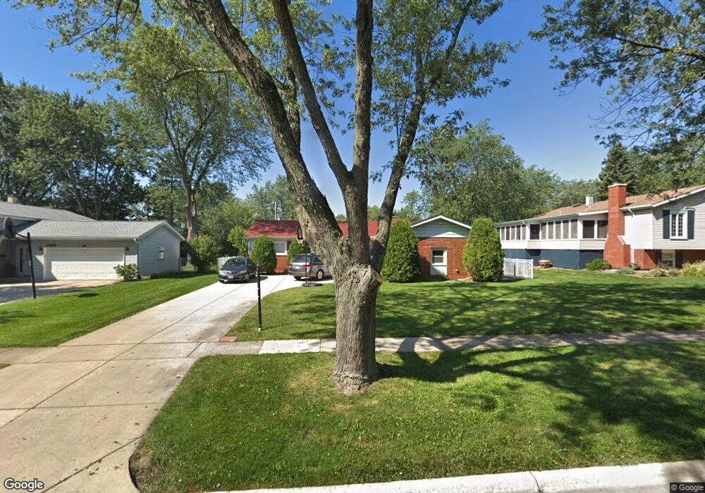
7306 Bunker Rd Darien, IL 60561
Estimated Value: $384,082 - $575,000
Studio
--
Bath
1,426
Sq Ft
$329/Sq Ft
Est. Value
About This Home
This home is located at 7306 Bunker Rd, Darien, IL 60561 and is currently estimated at $469,771, approximately $329 per square foot. 7306 Bunker Rd is a home located in DuPage County with nearby schools including Mark Delay School, Lace Elementary School, and Eisenhower Jr High School.
Ownership History
Date
Name
Owned For
Owner Type
Purchase Details
Closed on
Nov 24, 2025
Sold by
Romaine Arlene and Arlene Romaine Trust
Bought by
Lopez Arlene and Romaine Joseph David
Current Estimated Value
Purchase Details
Closed on
Sep 11, 2001
Sold by
Romaine Joseph David and Romaine Arlene
Bought by
Arlene Romaine Trust
Purchase Details
Closed on
Apr 11, 1996
Sold by
Romaine Joseph David and Lopez Arlene
Bought by
Romaine Joseph David and Romaine Arlene
Home Financials for this Owner
Home Financials are based on the most recent Mortgage that was taken out on this home.
Original Mortgage
$120,000
Interest Rate
7.91%
Create a Home Valuation Report for This Property
The Home Valuation Report is an in-depth analysis detailing your home's value as well as a comparison with similar homes in the area
Home Values in the Area
Average Home Value in this Area
Purchase History
| Date | Buyer | Sale Price | Title Company |
|---|---|---|---|
| Lopez Arlene | -- | None Listed On Document | |
| Arlene Romaine Trust | -- | -- | |
| Romaine Joseph David | -- | -- |
Source: Public Records
Mortgage History
| Date | Status | Borrower | Loan Amount |
|---|---|---|---|
| Previous Owner | Romaine Joseph David | $120,000 |
Source: Public Records
Tax History
| Year | Tax Paid | Tax Assessment Tax Assessment Total Assessment is a certain percentage of the fair market value that is determined by local assessors to be the total taxable value of land and additions on the property. | Land | Improvement |
|---|---|---|---|---|
| 2024 | $7,234 | $120,278 | $44,959 | $75,319 |
| 2023 | $6,857 | $110,570 | $41,330 | $69,240 |
| 2022 | $6,745 | $108,300 | $40,480 | $67,820 |
| 2021 | $6,489 | $107,070 | $40,020 | $67,050 |
| 2020 | $6,401 | $104,950 | $39,230 | $65,720 |
| 2019 | $6,153 | $98,790 | $37,640 | $61,150 |
| 2018 | $5,732 | $93,140 | $37,370 | $55,770 |
| 2017 | $5,674 | $89,630 | $35,960 | $53,670 |
| 2016 | $5,524 | $85,540 | $34,320 | $51,220 |
| 2015 | $5,441 | $80,480 | $32,290 | $48,190 |
| 2014 | $5,157 | $75,590 | $31,390 | $44,200 |
| 2013 | $4,985 | $75,230 | $31,240 | $43,990 |
Source: Public Records
Map
Nearby Homes
- 7525 Nantucket Dr Unit 210
- 714 Walnut Dr Unit 205
- 18W025 73rd St
- 7209 Grant St
- 6808 Scotch Pine Trail
- 7706 Warwick Ave
- 18W089 Claremont Dr
- 7700 Apple Tree Ln
- 7800 Dorchester Ln
- 310 Sheridan Dr Unit 1D
- 7802 Warwick Ave
- 7725 Sawyer Rd
- 1013 Torrey Pines Ct
- 7816 Dorchester Ln
- 6925 Clarendon Hills Rd
- 1109 Ponderosa Ct
- 321 Janet Ave
- 1117 Bristlecone Ct
- 1156 Bristlecone Ct
- 1061 Sean Cir
- 7310 Bunker Rd
- 7302 Bunker Rd Unit 1
- 905 Timber Ln
- 7314 Bunker Rd
- 909 Timber Ln
- 7309 Bunker Rd
- 7305 Bunker Rd
- 7318 Bunker Rd
- 7301 Bunker Rd
- 7313 Bunker Rd
- 7309 Seminole Ct
- 7307 Seminole Ct Unit 1
- 913 Timber Ln
- 902 Timber Ln
- 822 Timber Ln
- 818 Timber Ln
- 7317 Bunker Rd
- 906 Timber Ln
- 7322 Bunker Rd
- 814 Timber Ln
Your Personal Tour Guide
Ask me questions while you tour the home.