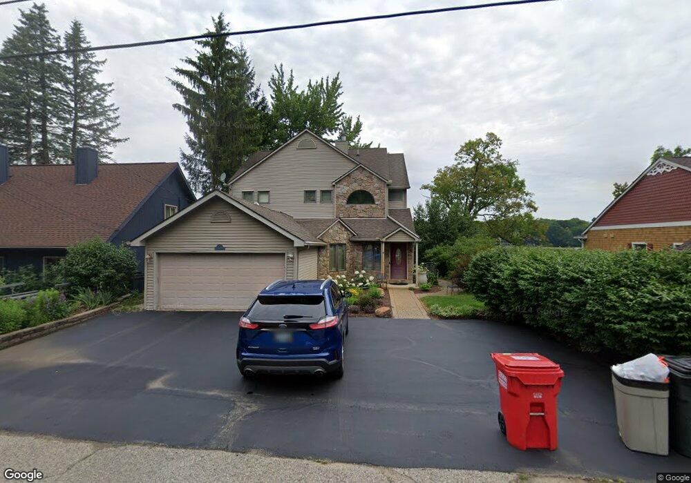
7306 Colony Dr West Bloomfield, MI 48323
Estimated Value: $556,000 - $774,000
4
Beds
2
Baths
2,598
Sq Ft
$257/Sq Ft
Est. Value
About This Home
This home is located at 7306 Colony Dr, West Bloomfield, MI 48323 and is currently estimated at $667,866, approximately $257 per square foot. 7306 Colony Dr is a home located in Oakland County with nearby schools including Clifford H. Smart Middle School, Walled Lake Northern High School, and Our Lady Of Refuge School.
Ownership History
Date
Name
Owned For
Owner Type
Purchase Details
Closed on
May 9, 2024
Sold by
Haskins Joan F and Haskins Mark W
Bought by
Haskins Joan F and Haskins Mark W
Current Estimated Value
Purchase Details
Closed on
Apr 10, 1996
Sold by
Mcbride Robert L
Bought by
Haskins Mark W
Home Financials for this Owner
Home Financials are based on the most recent Mortgage that was taken out on this home.
Original Mortgage
$177,000
Interest Rate
7.91%
Create a Home Valuation Report for This Property
The Home Valuation Report is an in-depth analysis detailing your home's value as well as a comparison with similar homes in the area
Home Values in the Area
Average Home Value in this Area
Purchase History
| Date | Buyer | Sale Price | Title Company |
|---|---|---|---|
| Haskins Joan F | -- | None Listed On Document | |
| Haskins Mark W | $250,000 | -- |
Source: Public Records
Mortgage History
| Date | Status | Borrower | Loan Amount |
|---|---|---|---|
| Previous Owner | Haskins Mark W | $177,000 |
Source: Public Records
Tax History Compared to Growth
Tax History
| Year | Tax Paid | Tax Assessment Tax Assessment Total Assessment is a certain percentage of the fair market value that is determined by local assessors to be the total taxable value of land and additions on the property. | Land | Improvement |
|---|---|---|---|---|
| 2024 | $3,277 | $250,190 | $0 | $0 |
| 2022 | $3,089 | $228,050 | $97,840 | $130,210 |
| 2021 | $5,145 | $219,730 | $0 | $0 |
| 2020 | $3,053 | $215,530 | $97,840 | $117,690 |
| 2018 | $4,998 | $217,960 | $88,950 | $129,010 |
| 2015 | -- | $173,570 | $0 | $0 |
| 2014 | -- | $149,850 | $0 | $0 |
| 2011 | -- | $131,790 | $0 | $0 |
Source: Public Records
Map
Nearby Homes
- 4212 Greendale Ave
- 7337 Richardson Rd
- 4245 Bunker Ave
- 7381 Crestmore St
- 6978 Colony Dr
- 4335 Crestdale Ave
- 6903 Dandison Blvd
- 3991 Fieldview Ave
- 7369 Sweetbriar
- 3965 Carrick Ave
- 4066 Green Lake Rd
- 6768 Buckland Ave
- 3632 Fieldview Ave
- 3950 Bradmore Ave
- 7359 Woodlore Dr
- 4442 Borland St
- 0000 Langtoft
- 7146 Arrowood Dr
- 7969 Richardson Rd
- 6675 Langtoft St
- 7312 Colony Dr
- 7298 Colony Dr
- 7314 Colony Dr
- 7301 Colony Dr
- 7311 Colony Dr
- 7294 Colony Dr
- 7315 Colony Dr
- 7346 Colony Dr
- 7252 Colony Dr
- 7335 Colony Dr Unit Bldg-Unit
- 7335 Colony Dr
- 7291 Colony Dr
- VAC Colony
- 4200 Calumet St
- 7259 Colony Dr
- 4019 Calumet St
- 7242 Colony Dr
- 7241 Colony Dr
- 4125 Calumet St
- 7230 Colony Dr