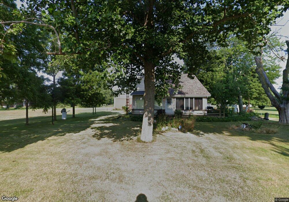
7306 N 525 W Michigan City, IN 46360
Estimated Value: $243,000 - $309,884
3
Beds
2
Baths
1,848
Sq Ft
$147/Sq Ft
Est. Value
About This Home
This home is located at 7306 N 525 W, Michigan City, IN 46360 and is currently estimated at $270,961, approximately $146 per square foot. 7306 N 525 W is a home located in LaPorte County with nearby schools including Springfield Elementary School, Martin T. Krueger Middle School, and Michigan City High School.
Ownership History
Date
Name
Owned For
Owner Type
Purchase Details
Closed on
Jul 9, 2018
Sold by
Belkiewitz Jeffery
Bought by
Hampton John
Current Estimated Value
Home Financials for this Owner
Home Financials are based on the most recent Mortgage that was taken out on this home.
Original Mortgage
$172,425
Outstanding Balance
$149,432
Interest Rate
4.5%
Mortgage Type
New Conventional
Estimated Equity
$121,529
Purchase Details
Closed on
Oct 1, 2015
Sold by
Gust Jacqueline F and Goust Jacqueline
Bought by
Gust Jacqueline F and Gust Jacquelin F
Create a Home Valuation Report for This Property
The Home Valuation Report is an in-depth analysis detailing your home's value as well as a comparison with similar homes in the area
Home Values in the Area
Average Home Value in this Area
Purchase History
| Date | Buyer | Sale Price | Title Company |
|---|---|---|---|
| Hampton John | -- | None Available | |
| Gust Jacqueline F | -- | None Available |
Source: Public Records
Mortgage History
| Date | Status | Borrower | Loan Amount |
|---|---|---|---|
| Open | Hampton John | $172,425 |
Source: Public Records
Tax History Compared to Growth
Tax History
| Year | Tax Paid | Tax Assessment Tax Assessment Total Assessment is a certain percentage of the fair market value that is determined by local assessors to be the total taxable value of land and additions on the property. | Land | Improvement |
|---|---|---|---|---|
| 2024 | $1,365 | $163,200 | $43,600 | $119,600 |
| 2022 | $1,430 | $160,200 | $38,900 | $121,300 |
| 2021 | $1,347 | $152,200 | $37,700 | $114,500 |
| 2020 | $1,375 | $152,200 | $37,700 | $114,500 |
| 2019 | $1,426 | $153,500 | $34,300 | $119,200 |
| 2018 | $1,369 | $144,600 | $34,600 | $110,000 |
| 2017 | $2,618 | $136,100 | $36,000 | $100,100 |
| 2016 | $2,594 | $147,900 | $31,700 | $116,200 |
| 2014 | $1,401 | $141,600 | $32,300 | $109,300 |
Source: Public Records
Map
Nearby Homes
- N 450 W
- 800 Indiana 212 Unit C5N
- 990 Indiana 212
- 5143 U S 20
- 9851 N 500 W
- 3209 Springland Ave
- 0 Harvey Ct
- 61 Timber Trail
- 0 W Us Hwy 20
- Integrity 1880 Plan at Woodland Ridge - Integrity
- Elements 2390 Plan at Woodland Ridge
- Elements 2090 Plan at Woodland Ridge
- Integrity 2060 Plan at Woodland Ridge - Integrity
- Elements 1870 Plan at Woodland Ridge
- Integrity 1250 Plan at Woodland Ridge - Integrity
- Integrity 2080 Plan at Woodland Ridge - Integrity
- Integrity 1520 Plan at Woodland Ridge - Integrity
- Integrity 2061 V8.1a Plan at Woodland Ridge - Integrity
- 0 N 900 W Unit NRA504354
- Integrity 2280 Plan at Woodland Ridge - Integrity