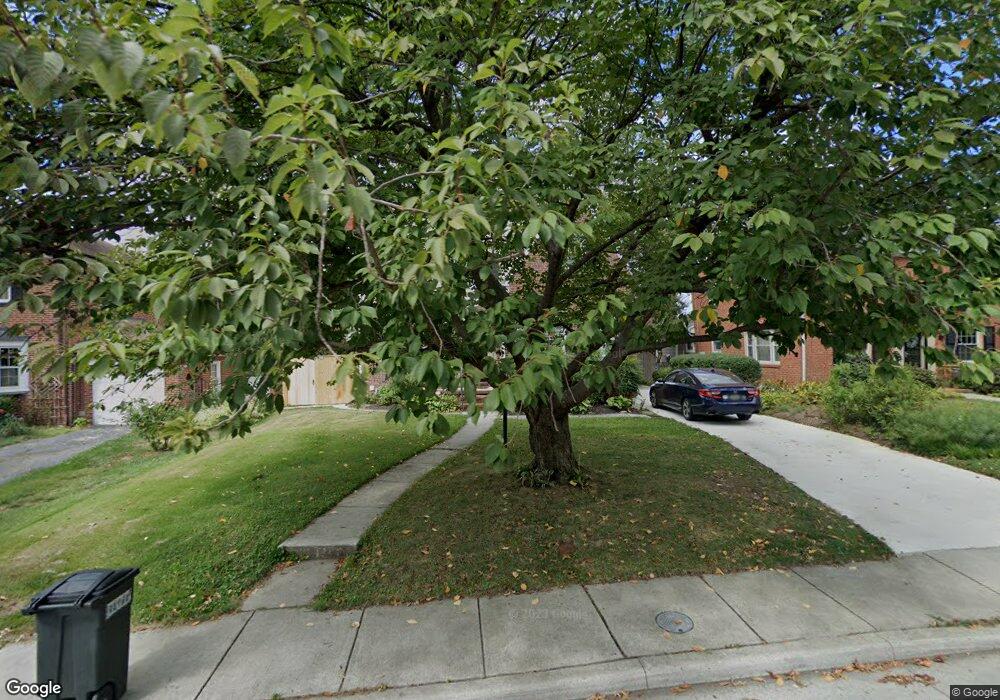
7308 Yorktowne Dr Towson, MD 21204
Estimated Value: $612,000 - $748,929
--
Bed
3
Baths
2,673
Sq Ft
$258/Sq Ft
Est. Value
About This Home
This home is located at 7308 Yorktowne Dr, Towson, MD 21204 and is currently estimated at $689,482, approximately $257 per square foot. 7308 Yorktowne Dr is a home located in Baltimore County with nearby schools including Rodgers Forge Elementary School, Dumbarton Middle School, and Towson High Law & Public Policy.
Ownership History
Date
Name
Owned For
Owner Type
Purchase Details
Closed on
May 11, 2000
Sold by
Mead Margaret A
Bought by
Maranto John and Maranto Kathryn
Current Estimated Value
Purchase Details
Closed on
Jun 27, 1996
Sold by
Mead Margaret A
Bought by
Mead Margaret A and Mead Robert
Purchase Details
Closed on
Oct 12, 1993
Sold by
White M O
Bought by
Mead M A
Home Financials for this Owner
Home Financials are based on the most recent Mortgage that was taken out on this home.
Original Mortgage
$178,100
Interest Rate
6.9%
Create a Home Valuation Report for This Property
The Home Valuation Report is an in-depth analysis detailing your home's value as well as a comparison with similar homes in the area
Home Values in the Area
Average Home Value in this Area
Purchase History
| Date | Buyer | Sale Price | Title Company |
|---|---|---|---|
| Maranto John | $242,000 | -- | |
| Mead Margaret A | -- | -- | |
| Mead M A | $187,500 | -- |
Source: Public Records
Mortgage History
| Date | Status | Borrower | Loan Amount |
|---|---|---|---|
| Previous Owner | Mead M A | $178,100 |
Source: Public Records
Tax History Compared to Growth
Tax History
| Year | Tax Paid | Tax Assessment Tax Assessment Total Assessment is a certain percentage of the fair market value that is determined by local assessors to be the total taxable value of land and additions on the property. | Land | Improvement |
|---|---|---|---|---|
| 2025 | -- | $548,300 | $132,200 | $416,100 |
| 2024 | $6,317 | $518,833 | $0 | $0 |
| 2023 | $3,027 | $489,367 | $0 | $0 |
| 2022 | $0 | $459,900 | $128,400 | $331,500 |
| 2021 | $5,484 | $449,267 | $0 | $0 |
| 2020 | $5,484 | $438,633 | $0 | $0 |
| 2019 | $5,339 | $428,000 | $128,400 | $299,600 |
| 2018 | $5,254 | $422,200 | $0 | $0 |
| 2017 | $5,061 | $416,400 | $0 | $0 |
| 2016 | $3,944 | $410,600 | $0 | $0 |
| 2015 | $3,944 | $410,600 | $0 | $0 |
| 2014 | $3,944 | $410,600 | $0 | $0 |
Source: Public Records
Map
Nearby Homes
- 425 Rodgers Ct
- 418 Chumleigh Rd
- 421 Regester Ave
- 117 Glen Argyle Rd
- 223 Dunkirk Rd
- 130 Dumbarton Rd
- 227 Overbrook Rd
- 625 Yarmouth Rd
- 6502 Abbey View Way
- 612 Coventry Rd
- 664 Regester Ave
- 146 Villabrook Way
- 100 Villabrook Way
- 28 Stone Ridge Ct
- 6438 Cloister Gate Dr
- 6679 Walnutwood Cir
- 102 Villabrook Way
- 636 Overbrook Rd
- 12 Stone Ridge Ct
- 106 Villabrook Way
- 7310 Yorktowne Dr
- 7306 Yorktowne Dr
- 7324 Yorktowne Dr
- 7326 Yorktowne Dr
- 7312 Yorktowne Dr
- 7322 Yorktowne Dr
- 7314 Yorktowne Dr
- 7300 Yorktowne Dr
- 7307 Yorktowne Dr
- 7305 Yorktowne Dr
- 7316 Yorktowne Dr
- 7320 Yorktowne Dr
- 7309 Yorktowne Dr
- 7303 Yorktowne Dr
- 7318 Yorktowne Dr
- 7311 Yorktowne Dr
- 7301 Yorktowne Dr
- 7313 Yorktowne Dr
- 400 Stevenson Ln
- 7349 Yorktowne Dr