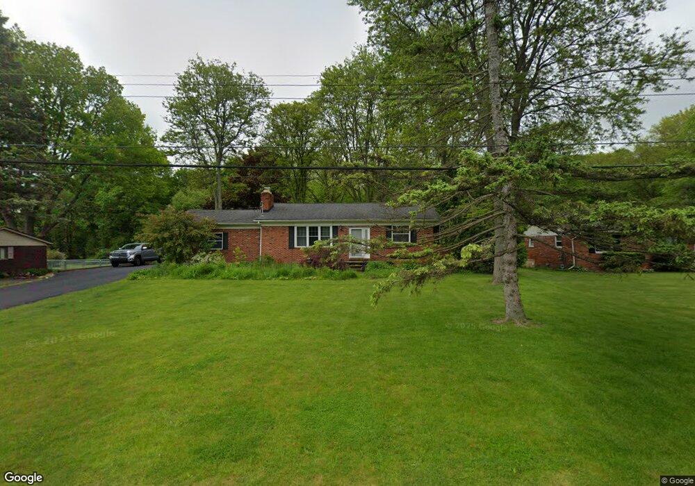
7309 Mustang Dr Clarkston, MI 48346
Estimated Value: $335,206 - $354,000
3
Beds
2
Baths
1,325
Sq Ft
$263/Sq Ft
Est. Value
About This Home
This home is located at 7309 Mustang Dr, Clarkston, MI 48346 and is currently estimated at $348,302, approximately $262 per square foot. 7309 Mustang Dr is a home located in Oakland County with nearby schools including Springfield Christian Academy, Our Lady Of The Lakes Catholic School, and Everest Academy.
Ownership History
Date
Name
Owned For
Owner Type
Purchase Details
Closed on
Jan 6, 2003
Sold by
Burnside Thomas
Bought by
Burnside Thomas and Burnside Jolana
Current Estimated Value
Purchase Details
Closed on
Nov 29, 1995
Sold by
Keener Heather A
Bought by
Burnside Thomas
Home Financials for this Owner
Home Financials are based on the most recent Mortgage that was taken out on this home.
Original Mortgage
$120,500
Outstanding Balance
$2,475
Interest Rate
7.41%
Mortgage Type
Purchase Money Mortgage
Estimated Equity
$345,827
Create a Home Valuation Report for This Property
The Home Valuation Report is an in-depth analysis detailing your home's value as well as a comparison with similar homes in the area
Home Values in the Area
Average Home Value in this Area
Purchase History
| Date | Buyer | Sale Price | Title Company |
|---|---|---|---|
| Burnside Thomas | -- | Metropolitan Title Company | |
| Burnside Thomas | $117,000 | -- |
Source: Public Records
Mortgage History
| Date | Status | Borrower | Loan Amount |
|---|---|---|---|
| Open | Burnside Thomas | $120,500 |
Source: Public Records
Tax History Compared to Growth
Tax History
| Year | Tax Paid | Tax Assessment Tax Assessment Total Assessment is a certain percentage of the fair market value that is determined by local assessors to be the total taxable value of land and additions on the property. | Land | Improvement |
|---|---|---|---|---|
| 2024 | $1,824 | $133,300 | $37,400 | $95,900 |
| 2023 | $2,459 | $122,100 | $33,400 | $88,700 |
| 2022 | $2,473 | $110,000 | $30,100 | $79,900 |
| 2021 | $2,475 | $105,300 | $30,300 | $75,000 |
| 2020 | $1,592 | $83,300 | $28,100 | $55,200 |
| 2018 | $2,352 | $79,900 | $23,400 | $56,500 |
| 2015 | -- | $77,900 | $0 | $0 |
| 2014 | -- | $71,500 | $0 | $0 |
| 2011 | -- | $66,400 | $0 | $0 |
Source: Public Records
Map
Nearby Homes
- 5021 Paula Ave
- 7314 Village Park Dr Unit 47
- 7509 Maple Ridge Dr
- 7541 Maple Ridge Dr
- 7490 Andersonville Rd
- The Franklin II Plan at Park Ridge at Stonewood
- 7116 Oak Ridge Ct
- 7513 Maple Ridge Dr
- 7950 Clement Rd
- 6832 Northcrest Way E Unit 31
- 4973 Parview Dr
- 6940 Stonewood Place Dr
- 6920 Stonewood Place Unit 42
- 9457 Dixie Hwy
- 6944 Stonewood Place Unit 36
- V/L Dixie Hwy
- 6830 Dixie Hwy
- 4619 Curtis Ln
- 6788 Balmoral Terrace
- 6649 Andersonville Rd
- 7327 Mustang Dr
- 7275 Mustang Dr
- 0 Mustang Dr
- 0000 Mustang Dr
- 7320 Mustang Dr
- 7300 Mustang Dr
- 7282 Mustang Dr
- 7259 Mustang Dr
- 7336 Mustang Dr
- 7355 Mustang Dr
- 7360 Mustang Dr
- 7260 Mustang Dr
- 7241 Mustang Dr
- 5261 Bronco Dr
- 7240 Mustang Dr
- 5230 White Lake Rd
- 7382 Mustang Dr
- 5300 White Lake Rd
- 7219 Mustang Dr
- 5242 White Lake Rd