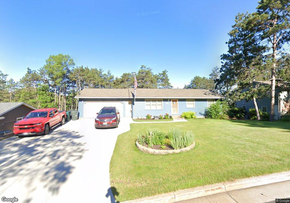
731 10th St N Hudson, WI 54016
Estimated Value: $259,000 - $395,000
Studio
--
Bath
--
Sq Ft
0.29
Acres
About This Home
This home is located at 731 10th St N, Hudson, WI 54016 and is currently estimated at $315,063. 731 10th St N is a home located in St. Croix County with nearby schools including North Hudson Elementary School, Hudson Middle School, and Hudson High School.
Ownership History
Date
Name
Owned For
Owner Type
Purchase Details
Closed on
Dec 13, 2024
Sold by
Sandburg Steven J and Sandburg Rene M
Bought by
Lockbaum Jacob M and Lockbaum Ashley M
Current Estimated Value
Home Financials for this Owner
Home Financials are based on the most recent Mortgage that was taken out on this home.
Original Mortgage
$214,000
Outstanding Balance
$211,293
Interest Rate
6.69%
Mortgage Type
New Conventional
Estimated Equity
$103,770
Create a Home Valuation Report for This Property
The Home Valuation Report is an in-depth analysis detailing your home's value as well as a comparison with similar homes in the area
Home Values in the Area
Average Home Value in this Area
Purchase History
| Date | Buyer | Sale Price | Title Company |
|---|---|---|---|
| Lockbaum Jacob M | $267,500 | None Listed On Document |
Source: Public Records
Mortgage History
| Date | Status | Borrower | Loan Amount |
|---|---|---|---|
| Open | Lockbaum Jacob M | $214,000 |
Source: Public Records
Tax History
| Year | Tax Paid | Tax Assessment Tax Assessment Total Assessment is a certain percentage of the fair market value that is determined by local assessors to be the total taxable value of land and additions on the property. | Land | Improvement |
|---|---|---|---|---|
| 2024 | $35 | $279,100 | $65,800 | $213,300 |
| 2023 | $3,334 | $279,100 | $65,800 | $213,300 |
| 2022 | $3,006 | $279,100 | $65,800 | $213,300 |
| 2021 | $2,992 | $156,300 | $41,600 | $114,700 |
| 2020 | $2,867 | $156,300 | $41,600 | $114,700 |
| 2019 | $2,682 | $156,300 | $41,600 | $114,700 |
| 2018 | $2,695 | $156,300 | $41,600 | $114,700 |
| 2017 | $2,592 | $156,300 | $41,600 | $114,700 |
| 2016 | $2,592 | $156,300 | $41,600 | $114,700 |
| 2015 | $2,395 | $156,300 | $41,600 | $114,700 |
| 2014 | $2,373 | $156,300 | $41,600 | $114,700 |
| 2013 | $2,339 | $156,000 | $51,000 | $105,000 |
Source: Public Records
Map
Nearby Homes
- 1029 Sommers St N
- 1031 Sommers St N
- 641 8th St N
- 1102 Sommers St N
- 602 Prairie Dr N
- 811 Fox Tree Ln N
- 1143 Sommers St N
- 241 Starrwood
- 214 Galahad Place N
- 888 Bluebird Ct N
- 1054 Cottonwood Dr
- 322 5th St N
- 312 Meadow Dr N
- 312 3rd St N
- 1205 Riverside Dr N
- 1205 Riverside Drive N
- 1075 Autumn Oak Ln
- 233 River Heights Trail
- 621 Mallalieu Dr
- 530 Lakeside Bay Dr S
Your Personal Tour Guide
Ask me questions while you tour the home.