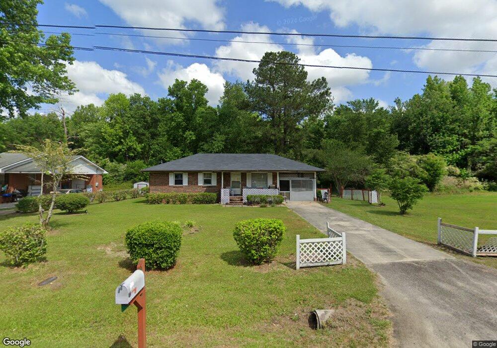
731 Branchview Dr Manning, SC 29102
Estimated Value: $115,303 - $165,000
3
Beds
2
Baths
1,036
Sq Ft
$129/Sq Ft
Est. Value
About This Home
This home is located at 731 Branchview Dr, Manning, SC 29102 and is currently estimated at $133,326, approximately $128 per square foot. 731 Branchview Dr is a home located in Clarendon County with nearby schools including Manning Early Childhood Center, Manning Elementary School, and Manning Primary School.
Ownership History
Date
Name
Owned For
Owner Type
Purchase Details
Closed on
Oct 15, 2010
Sold by
Federal Home Loan Mortgage Corporation
Bought by
Andrews Dawson
Current Estimated Value
Home Financials for this Owner
Home Financials are based on the most recent Mortgage that was taken out on this home.
Original Mortgage
$40,935
Outstanding Balance
$26,944
Interest Rate
4.3%
Mortgage Type
FHA
Estimated Equity
$106,382
Purchase Details
Closed on
Feb 12, 2007
Sold by
Singleton Stanley
Bought by
Clark Jannie Mae
Home Financials for this Owner
Home Financials are based on the most recent Mortgage that was taken out on this home.
Original Mortgage
$66,500
Interest Rate
6.17%
Mortgage Type
New Conventional
Create a Home Valuation Report for This Property
The Home Valuation Report is an in-depth analysis detailing your home's value as well as a comparison with similar homes in the area
Home Values in the Area
Average Home Value in this Area
Purchase History
| Date | Buyer | Sale Price | Title Company |
|---|---|---|---|
| Andrews Dawson | -- | None Available | |
| Clark Jannie Mae | $70,000 | None Available |
Source: Public Records
Mortgage History
| Date | Status | Borrower | Loan Amount |
|---|---|---|---|
| Open | Andrews Dawson | $40,935 | |
| Previous Owner | Clark Jannie Mae | $66,500 |
Source: Public Records
Tax History Compared to Growth
Tax History
| Year | Tax Paid | Tax Assessment Tax Assessment Total Assessment is a certain percentage of the fair market value that is determined by local assessors to be the total taxable value of land and additions on the property. | Land | Improvement |
|---|---|---|---|---|
| 2024 | $391 | $3,132 | $360 | $2,772 |
| 2023 | $377 | $3,132 | $360 | $2,772 |
| 2022 | $374 | $3,132 | $360 | $2,772 |
| 2021 | $247 | $2,844 | $280 | $2,564 |
| 2020 | $247 | $2,844 | $280 | $2,564 |
| 2019 | $236 | $2,844 | $280 | $2,564 |
| 2018 | $230 | $2,844 | $0 | $0 |
| 2017 | $227 | $2,844 | $0 | $0 |
| 2016 | $227 | $2,844 | $0 | $0 |
| 2015 | $148 | $2,584 | $220 | $2,364 |
| 2014 | $663 | $2,584 | $220 | $2,364 |
| 2013 | -- | $2,584 | $220 | $2,364 |
Source: Public Records
Map
Nearby Homes
- TBD Barnwell St
- TBD Branchview Dr
- 22 W End St
- 209 Peterson Ln
- 633 Sykes St
- 2695 Paxville Hwy
- 1000 Carolina Way Unit Lot 80
- 1000 Carolina Way
- W Huggins St
- 111 Richard St
- 409 W Boyce St
- 408 Toccoa Dr
- 218 Breedin St
- 200 W Boyce St
- 412 Briarcliff St
- 0000 Sylvan Dr
- 107 Sumter St
- 101 Sumter St
- 40 W Rigby St
- 1026 Jamie Ct
- 801 Branchview Dr
- 805 Branchview Dr
- 217 Spann Dr
- 218 Spann Dr
- 723 Branchview Dr
- 726 Branchview Dr
- 722 Branchview Dr
- 718 Branchview Dr
- 813 Branchview Dr
- 212 Spann Dr
- 714 Branchview Dr
- 901 Branchview Dr
- 906 Berry St
- 210 Spann Dr
- 205 Spann Dr
- 710 Branchview Dr
- 729 Barnwell Rd
- 735 Barnwell Rd
- 721 Barnwell Rd
- 910 Berry St