731 Columbine Dr Estes Park, CO 80517
Estimated Value: $682,000 - $852,496
2
Beds
1
Bath
1,235
Sq Ft
$625/Sq Ft
Est. Value
About This Home
This home is located at 731 Columbine Dr, Estes Park, CO 80517 and is currently estimated at $771,874, approximately $624 per square foot. 731 Columbine Dr is a home located in Larimer County with nearby schools including Estes Park K-5 School, Estes Park Options School, and Estes Park Middle School.
Ownership History
Date
Name
Owned For
Owner Type
Purchase Details
Closed on
Oct 15, 2020
Sold by
Thorn Steven A and Thorn Letha M
Bought by
Thorn Steven Almon and Thorn Letha R
Current Estimated Value
Purchase Details
Closed on
Oct 30, 2009
Sold by
Panthen Denise R
Bought by
Thorn Steven A and Thorn Letha M
Home Financials for this Owner
Home Financials are based on the most recent Mortgage that was taken out on this home.
Original Mortgage
$234,400
Interest Rate
5.05%
Mortgage Type
Future Advance Clause Open End Mortgage
Purchase Details
Closed on
Sep 11, 2002
Sold by
Cornelius Denise R
Bought by
Panthen Denise R
Purchase Details
Closed on
Aug 15, 1997
Sold by
Mcvay Charles D
Bought by
Cornelius Denise R
Home Financials for this Owner
Home Financials are based on the most recent Mortgage that was taken out on this home.
Original Mortgage
$92,000
Interest Rate
7.47%
Create a Home Valuation Report for This Property
The Home Valuation Report is an in-depth analysis detailing your home's value as well as a comparison with similar homes in the area
Home Values in the Area
Average Home Value in this Area
Purchase History
| Date | Buyer | Sale Price | Title Company |
|---|---|---|---|
| Thorn Steven Almon | -- | None Available | |
| Thorn Steven A | $330,000 | None Available | |
| Panthen Denise R | -- | -- | |
| Cornelius Denise R | $132,000 | -- |
Source: Public Records
Mortgage History
| Date | Status | Borrower | Loan Amount |
|---|---|---|---|
| Closed | Thorn Steven A | $234,400 | |
| Previous Owner | Cornelius Denise R | $92,000 |
Source: Public Records
Tax History Compared to Growth
Tax History
| Year | Tax Paid | Tax Assessment Tax Assessment Total Assessment is a certain percentage of the fair market value that is determined by local assessors to be the total taxable value of land and additions on the property. | Land | Improvement |
|---|---|---|---|---|
| 2025 | $3,411 | $58,136 | $13,400 | $44,736 |
| 2024 | $3,372 | $58,136 | $13,400 | $44,736 |
| 2022 | $2,870 | $38,503 | $11,704 | $26,799 |
| 2021 | $2,947 | $39,611 | $12,041 | $27,570 |
| 2020 | $2,637 | $34,928 | $11,583 | $23,345 |
| 2019 | $2,617 | $34,928 | $11,583 | $23,345 |
| 2018 | $2,461 | $31,824 | $10,224 | $21,600 |
| 2017 | $2,475 | $31,824 | $10,224 | $21,600 |
| 2016 | $2,263 | $30,145 | $10,189 | $19,956 |
| 2015 | $1,907 | $25,720 | $10,190 | $15,530 |
| 2014 | $1,889 | $26,180 | $10,030 | $16,150 |
Source: Public Records
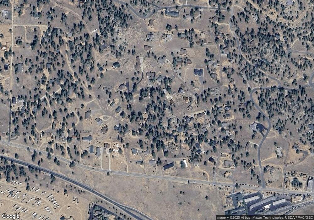
Map
Nearby Homes
- 810 Larkspur Rd
- 811 Larkspur Rd
- 831 Larkspur Rd
- 1401 High Dr
- 739 Larkspur Rd
- 1611 High Dr
- 725 Upper Larkspur Ln
- 1565 Highway 66 Unit 46
- 1565 Highway 66 Unit 33
- 1565 Highway 66 Unit 27
- 1565 Highway 66 Unit 49
- 1565 Highway 66 Unit 28
- 1263 Broadview
- 870 Moraine Ave
- 1575 Lower Broadview Rd
- 1141 Wallace Ln
- 683 Cedar Ridge Cir Unit 2
- 677 Cedar Ridge Cir Unit 5
- 658 Cedar Ridge Cir Unit 1
- 1420 Marys Lake Rd
- 727 Columbine Dr
- 737 Columbine Dr
- 743 Columbine Dr
- 1441 Bluebell Dr
- 830 Larkspur Rd
- 709 Columbine Dr
- 753 Columbine Dr
- 749 Columbine Dr
- 770 Larkspur Rd
- 790 Larkspur Rd
- 732 Columbine Dr
- 761 Columbine Dr
- 740 Columbine Dr
- 1461 Bluebell Dr
- 771 Columbine Dr
- 1439 Bluebell Dr
- 779 Columbine Dr
- 1481 Bluebell Dr
- 750 Larkspur Rd
- 1421 Bluebell Dr