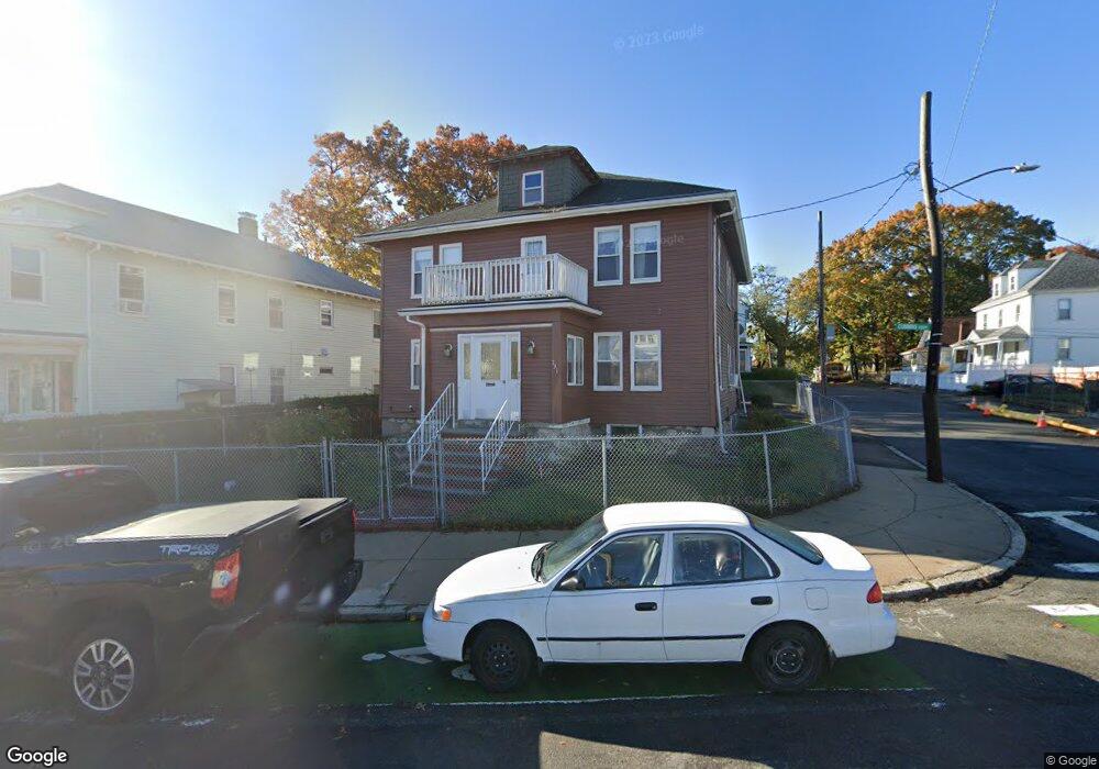
731 Cummins Hwy Mattapan, MA 02126
Southern Mattapan NeighborhoodEstimated Value: $647,900 - $810,000
4
Beds
2
Baths
2,220
Sq Ft
$330/Sq Ft
Est. Value
About This Home
This home is located at 731 Cummins Hwy, Mattapan, MA 02126 and is currently estimated at $731,725, approximately $329 per square foot. 731 Cummins Hwy is a home located in Suffolk County with nearby schools including KIPP Academy Boston Charter School and Berea Seventh-day Adventist Academy.
Ownership History
Date
Name
Owned For
Owner Type
Purchase Details
Closed on
May 10, 2017
Sold by
Simpson Curdell E Est
Bought by
Chung Paulette and Henry Etta M
Current Estimated Value
Home Financials for this Owner
Home Financials are based on the most recent Mortgage that was taken out on this home.
Original Mortgage
$262,515
Outstanding Balance
$218,553
Interest Rate
4.14%
Mortgage Type
FHA
Estimated Equity
$513,172
Create a Home Valuation Report for This Property
The Home Valuation Report is an in-depth analysis detailing your home's value as well as a comparison with similar homes in the area
Home Values in the Area
Average Home Value in this Area
Purchase History
| Date | Buyer | Sale Price | Title Company |
|---|---|---|---|
| Chung Paulette | -- | -- |
Source: Public Records
Mortgage History
| Date | Status | Borrower | Loan Amount |
|---|---|---|---|
| Open | Chung Paulette | $262,515 |
Source: Public Records
Tax History Compared to Growth
Tax History
| Year | Tax Paid | Tax Assessment Tax Assessment Total Assessment is a certain percentage of the fair market value that is determined by local assessors to be the total taxable value of land and additions on the property. | Land | Improvement |
|---|---|---|---|---|
| 2025 | $6,471 | $558,800 | $205,500 | $353,300 |
| 2024 | $5,809 | $532,900 | $186,200 | $346,700 |
| 2023 | $5,400 | $502,800 | $175,700 | $327,100 |
| 2022 | $5,470 | $502,800 | $175,700 | $327,100 |
| 2021 | $4,876 | $457,000 | $159,700 | $297,300 |
| 2020 | $4,289 | $406,200 | $166,500 | $239,700 |
| 2019 | $3,957 | $375,400 | $129,400 | $246,000 |
| 2018 | $3,513 | $335,200 | $129,400 | $205,800 |
| 2017 | $3,413 | $322,300 | $129,400 | $192,900 |
| 2016 | $3,223 | $293,000 | $129,400 | $163,600 |
| 2015 | $3,110 | $256,800 | $106,000 | $150,800 |
| 2014 | $2,992 | $237,800 | $106,000 | $131,800 |
Source: Public Records
Map
Nearby Homes
- 839-843 Cummins Hwy
- 770 Cummins Hwy Unit 1
- 770 Cummins Hwy Unit 22
- 10 Brockton St
- 231 Itasca St
- 95 Woodhaven St
- 90 Hollingsworth St
- 34 Ridlon Rd
- 48-50 Rockdale St
- 23 Caton St
- 179 Hebron St
- 100 Itasca St
- 645 River St
- 25 Alpine St Unit 7
- 20 Monterey Ave
- 60 and 64 Monterey Ave
- 72 Livermore St
- 265 Hebron St
- 7 Winborough St
- 1465 Blue Hill Ave
- 731 Cummins Hwy Unit 2
- 733 Cummins Hwy Unit 735
- 8 Harmon St
- 7 Harmon St
- 739 Cummins Hwy
- 739 Cummins Hwy Unit L
- 739 Cummins Hwy Unit A
- 739 Cummins Hwy Unit B
- 739 Cummins Hwy Unit 1
- 739 Cummins Hwy Unit 2
- 10 Harmon St
- 719 Cummins Hwy
- 748 Cummins Hwy
- 11 Harmon St
- 754 Cummins Hwy
- 11 Richmere Rd
- 14 Harmon St
- 742 Cummins Hwy Unit 744
- 715 Cummins Hwy
- 747 Cummins Hwy