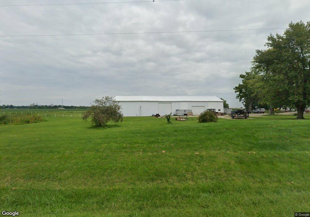
731 E 2700 Rd N Moweaqua, IL 62550
Estimated Value: $348,000 - $618,000
4
Beds
4
Baths
4,532
Sq Ft
$103/Sq Ft
Est. Value
About This Home
This home is located at 731 E 2700 Rd N, Moweaqua, IL 62550 and is currently estimated at $467,091, approximately $103 per square foot. 731 E 2700 Rd N is a home located in Shelby County with nearby schools including Central A&M High School.
Ownership History
Date
Name
Owned For
Owner Type
Purchase Details
Closed on
Jun 16, 2022
Sold by
Jackson Stephen J and Jackson Robin L
Bought by
Medina Eleuterio
Current Estimated Value
Home Financials for this Owner
Home Financials are based on the most recent Mortgage that was taken out on this home.
Original Mortgage
$399,897
Outstanding Balance
$381,537
Interest Rate
5.75%
Mortgage Type
Construction
Estimated Equity
$85,554
Purchase Details
Closed on
Apr 30, 2004
Bought by
Jackson Stephen J and Jackson Robin L
Create a Home Valuation Report for This Property
The Home Valuation Report is an in-depth analysis detailing your home's value as well as a comparison with similar homes in the area
Purchase History
| Date | Buyer | Sale Price | Title Company |
|---|---|---|---|
| Medina Eleuterio | $399,897 | Attorneys Title Guaranty Fund | |
| Jackson Stephen J | $214,900 | -- |
Source: Public Records
Mortgage History
| Date | Status | Borrower | Loan Amount |
|---|---|---|---|
| Open | Medina Eleuterio | $399,897 |
Source: Public Records
Tax History
| Year | Tax Paid | Tax Assessment Tax Assessment Total Assessment is a certain percentage of the fair market value that is determined by local assessors to be the total taxable value of land and additions on the property. | Land | Improvement |
|---|---|---|---|---|
| 2024 | $352 | $78,027 | $5,017 | $73,010 |
| 2023 | $354 | $71,732 | $4,606 | $67,126 |
| 2022 | $4,020 | $65,735 | $4,215 | $61,520 |
| 2021 | $3,833 | $62,905 | $4,016 | $58,889 |
| 2020 | $3,955 | $62,877 | $3,988 | $58,889 |
| 2019 | $3,955 | $62,852 | $3,963 | $58,889 |
| 2018 | $3,742 | $58,681 | $3,693 | $54,988 |
| 2017 | $3,629 | $58,660 | $3,672 | $54,988 |
| 2016 | $3,629 | $58,640 | $3,652 | $54,988 |
| 2015 | -- | $58,623 | $3,635 | $54,988 |
| 2014 | -- | $58,611 | $3,623 | $54,988 |
| 2013 | -- | $58,575 | $3,587 | $54,988 |
Source: Public Records
Map
Nearby Homes
- 405 S Shelby St
- 210 S East St
- 321 E South St
- 241 W Main St
- 229 W Madison St
- 333 N Macon St
- 101 Oak St
- 803 N Putnam St
- 325 N Poplar St
- 324 N Oak St
- 225 E North St
- 107 S Oak St
- 110 S College St
- 290 W Cole St
- Lot 6 Baxmeyer Ln
- Lot 14 Baxmeyer Ln
- Lot 4 Baxmeyer Ln
- Lot 8 Baxmeyer Ln
- Lot 2 Baxmeyer Ln
- Lot 12 Baxmeyer Ln
- 731 E 2700 North Rd
- 712 E 2700 North Rd
- 716 E 2700 North Rd
- 706 E 2700 North Rd
- 705 E 2685 North Rd
- 703 E 2685 North Rd
- 702 E 2700 North Rd
- 704 E 2685 North Rd
- 701 E 2685 Rd
- 701 E 2685 North Rd
- 698 E 2700 North Rd
- 702 E 2685 North Rd
- 696 E 2700 North Rd
- 694 E 2700 North Rd
- 2698 N 690 East Rd
- 2696 N 690 East Rd
- 2694 N 690 East Rd
- 2699 N 690 East Rd
- 2697 N 690 East Rd
- 2675 N 800 East Rd
Your Personal Tour Guide
Ask me questions while you tour the home.