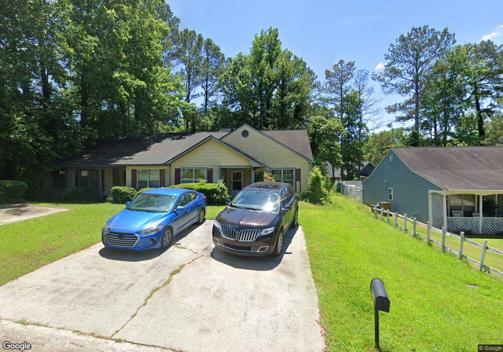
731 Farmdale Way NE Unit 2 Woodstock, GA 30188
Sandy Plains NeighborhoodEstimated Value: $222,185 - $256,000
2
Beds
2
Baths
1,156
Sq Ft
$210/Sq Ft
Est. Value
About This Home
This home is located at 731 Farmdale Way NE Unit 2, Woodstock, GA 30188 and is currently estimated at $243,296, approximately $210 per square foot. 731 Farmdale Way NE Unit 2 is a home located in Cobb County with nearby schools including Nicholson Elementary School, McCleskey Middle School, and Kell High School.
Ownership History
Date
Name
Owned For
Owner Type
Purchase Details
Closed on
Mar 25, 2022
Sold by
Whatley Lori E
Bought by
Whatley Lori E and Whatley Benjamin Kim
Current Estimated Value
Purchase Details
Closed on
Jul 14, 2005
Sold by
Osborne Helen M
Bought by
Whatley Lori E
Home Financials for this Owner
Home Financials are based on the most recent Mortgage that was taken out on this home.
Original Mortgage
$90,950
Interest Rate
7.55%
Mortgage Type
New Conventional
Create a Home Valuation Report for This Property
The Home Valuation Report is an in-depth analysis detailing your home's value as well as a comparison with similar homes in the area
Home Values in the Area
Average Home Value in this Area
Purchase History
| Date | Buyer | Sale Price | Title Company |
|---|---|---|---|
| Whatley Lori E | -- | None Listed On Document | |
| Whatley Lori E | $107,000 | -- |
Source: Public Records
Mortgage History
| Date | Status | Borrower | Loan Amount |
|---|---|---|---|
| Previous Owner | Whatley Lori E | $90,950 |
Source: Public Records
Tax History Compared to Growth
Tax History
| Year | Tax Paid | Tax Assessment Tax Assessment Total Assessment is a certain percentage of the fair market value that is determined by local assessors to be the total taxable value of land and additions on the property. | Land | Improvement |
|---|---|---|---|---|
| 2024 | $2,098 | $93,856 | $24,000 | $69,856 |
| 2023 | $976 | $67,168 | $16,000 | $51,168 |
| 2022 | $1,531 | $67,168 | $16,000 | $51,168 |
| 2021 | $1,073 | $46,268 | $12,800 | $33,468 |
| 2020 | $1,073 | $46,268 | $12,800 | $33,468 |
| 2019 | $1,073 | $46,268 | $12,800 | $33,468 |
| 2018 | $956 | $40,908 | $10,000 | $30,908 |
| 2017 | $479 | $25,572 | $5,200 | $20,372 |
| 2016 | $480 | $25,572 | $5,200 | $20,372 |
| 2015 | $315 | $19,544 | $4,000 | $15,544 |
| 2014 | $318 | $19,544 | $0 | $0 |
Source: Public Records
Map
Nearby Homes
- 5142 Farm Place Dr NE
- 162 Ridgewood Dr
- The Gavin E Plan at The Village at Shallowford - Signature Series
- The Marion A Plan at The Village at Shallowford - Classic Series
- The Cary A Plan at The Village at Shallowford - Classic Series
- 639 Tigers Eye Terrace
- 4669 Blue Topaz Trail
- 4704 Lincoln Dr NE
- 4793 Moonstone Trace
- 4785 Moonstone Trace
- 707 Smokey Quartz Way
- 710 Smokey Quartz Way
- 694 Smokey Quartz Way
- 4785 Moonstone NE
- 703 Smokey Quartz Way
- 706 Smokey Quartz Way
- 702 Smokey Quartz Way
- 729 Farmdale Way NE
- 733 Farmdale Way NE
- 727 Farmdale Way NE
- 735 Farmdale Way NE
- 725 Farmdale Way NE
- 728 Jamie Way NE
- 726 Jamie Way NE
- 5101 Buckline Ct NW
- 5101 Buckline Ct NW Unit 5101
- 723 Farmdale Way NE
- 730 Jamie Way NE
- 714 Jamie Way NE Unit 2B
- 716 Jamie Way NE Unit IIB
- 5103 Buckline Ct NW
- 724 Jamie Way NE
- 0 Buckline Ct NW
- 721 Farmdale Way NE
- 712 Jamie Way NE Unit 2
- 722 Jamie Way NE
- 5105 Buckline Ct NW