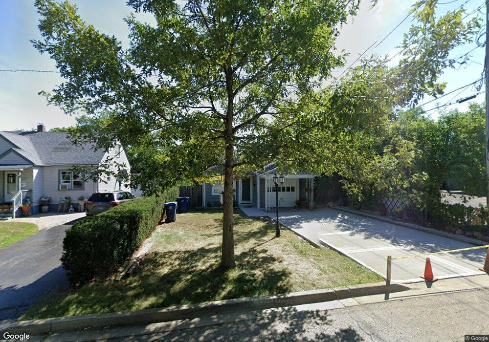
731 Flossmoor Ave Waukegan, IL 60085
Glenwood Heights NeighborhoodEstimated Value: $211,780 - $287,000
1
Bed
1
Bath
1,068
Sq Ft
$220/Sq Ft
Est. Value
About This Home
This home is located at 731 Flossmoor Ave, Waukegan, IL 60085 and is currently estimated at $235,445, approximately $220 per square foot. 731 Flossmoor Ave is a home located in Lake County with nearby schools including Glenwood Elementary School, Miguel Juarez Middle School, and Waukegan High School.
Ownership History
Date
Name
Owned For
Owner Type
Purchase Details
Closed on
Dec 11, 1997
Sold by
Hanzel Lawrence L and Mayme F Kortz Declaration Of T
Bought by
Martinez David and Martinez Sofia
Current Estimated Value
Home Financials for this Owner
Home Financials are based on the most recent Mortgage that was taken out on this home.
Original Mortgage
$45,600
Interest Rate
7.35%
Create a Home Valuation Report for This Property
The Home Valuation Report is an in-depth analysis detailing your home's value as well as a comparison with similar homes in the area
Home Values in the Area
Average Home Value in this Area
Purchase History
| Date | Buyer | Sale Price | Title Company |
|---|---|---|---|
| Martinez David | $57,000 | -- |
Source: Public Records
Mortgage History
| Date | Status | Borrower | Loan Amount |
|---|---|---|---|
| Closed | Martinez David | $45,600 |
Source: Public Records
Tax History Compared to Growth
Tax History
| Year | Tax Paid | Tax Assessment Tax Assessment Total Assessment is a certain percentage of the fair market value that is determined by local assessors to be the total taxable value of land and additions on the property. | Land | Improvement |
|---|---|---|---|---|
| 2024 | $3,859 | $54,647 | $12,170 | $42,477 |
| 2023 | $3,912 | $48,926 | $10,896 | $38,030 |
| 2022 | $3,912 | $46,015 | $9,443 | $36,572 |
| 2021 | $3,361 | $38,240 | $8,298 | $29,942 |
| 2020 | $3,358 | $35,626 | $7,731 | $27,895 |
| 2019 | $3,327 | $32,645 | $7,084 | $25,561 |
| 2018 | $3,148 | $30,727 | $9,022 | $21,705 |
| 2017 | $3,014 | $27,185 | $7,982 | $19,203 |
| 2016 | $2,723 | $23,623 | $6,936 | $16,687 |
| 2015 | $2,558 | $21,143 | $6,208 | $14,935 |
| 2014 | $2,281 | $19,018 | $4,887 | $14,131 |
| 2012 | $3,046 | $20,604 | $5,294 | $15,310 |
Source: Public Records
Map
Nearby Homes
- 615 Tiffany Dr
- 1213 Grand Ave
- 2115 Lydia St
- 0 Brookside Ave
- 1005 N Lewis Ave
- 1023 N Elmwood Ave
- 1038 Indiana Ave
- 968 Judge Ave
- 2813 Theresa Ave
- 12352 W Atlantic Ave
- 1117 Judge Ave
- 824 N Butrick St
- 2009 Harding Ave
- 24 Washington Terrace
- 2008 Harding Ave
- 621 N Austin Ave
- 102 Baldwin Ave
- 1504 W Glen Flora Ave
- 12698 W Grandview Ave
- 1000 Pine St
- 735 Flossmoor Ave
- 2422 Grand Ave
- 2418 Grand Ave
- 739 Flossmoor Ave
- 2424 Grand Ave
- 2414 Grand Ave
- 801 Flossmoor Ave
- 732 Leith Ave
- 736 Leith Ave
- 740 Leith Ave
- 803 Flossmoor Ave
- 800 Leith Ave
- 2436 Grand Ave
- 732 Flossmoor Ave
- 807 Flossmoor Ave
- 736 Flossmoor Ave
- 802 Leith Ave
- 740 Flossmoor Ave
- 800 Flossmoor Ave
- 811 Flossmoor Ave