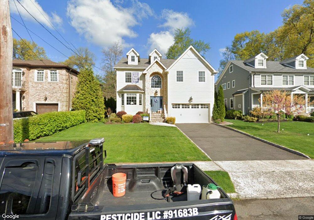
731 Harding St Westfield, NJ 07090
Estimated Value: $1,869,000 - $2,120,000
Studio
--
Bath
3,644
Sq Ft
$543/Sq Ft
Est. Value
About This Home
This home is located at 731 Harding St, Westfield, NJ 07090 and is currently estimated at $1,977,368, approximately $542 per square foot. 731 Harding St is a home located in Union County with nearby schools including Washington Elementary School, Edison Intermediate School, and Westfield Senior High School.
Ownership History
Date
Name
Owned For
Owner Type
Purchase Details
Closed on
Apr 28, 2008
Sold by
Bella Properties Llc
Bought by
Oconnor David and Oconnor Leslie
Current Estimated Value
Home Financials for this Owner
Home Financials are based on the most recent Mortgage that was taken out on this home.
Original Mortgage
$912,000
Outstanding Balance
$577,263
Interest Rate
5.87%
Mortgage Type
Purchase Money Mortgage
Estimated Equity
$1,400,105
Purchase Details
Closed on
Feb 10, 2006
Sold by
Sunbear Joel Noah Landy
Bought by
Bella Properties Llc
Purchase Details
Closed on
Jan 24, 2001
Sold by
Fontenelli Jeffrey S and Fontenelli Karen M
Bought by
Shusman Joel and Sunshine Elaine M
Home Financials for this Owner
Home Financials are based on the most recent Mortgage that was taken out on this home.
Original Mortgage
$150,000
Interest Rate
7.13%
Mortgage Type
Purchase Money Mortgage
Purchase Details
Closed on
Aug 3, 1995
Sold by
Kopser Christopher G and Kopser Jennifer F
Bought by
Fontenelli Jeffrey S and Fontenelli Karen M
Create a Home Valuation Report for This Property
The Home Valuation Report is an in-depth analysis detailing your home's value as well as a comparison with similar homes in the area
Home Values in the Area
Average Home Value in this Area
Purchase History
| Date | Buyer | Sale Price | Title Company |
|---|---|---|---|
| Oconnor David | $1,140,000 | Nrt Title Agency Llc | |
| Bella Properties Llc | $618,000 | -- | |
| Shusman Joel | $369,000 | Commonwealth Land Title Ins | |
| Fontenelli Jeffrey S | $228,000 | -- |
Source: Public Records
Mortgage History
| Date | Status | Borrower | Loan Amount |
|---|---|---|---|
| Open | Oconnor David | $912,000 | |
| Previous Owner | Shusman Joel | $150,000 |
Source: Public Records
Tax History
| Year | Tax Paid | Tax Assessment Tax Assessment Total Assessment is a certain percentage of the fair market value that is determined by local assessors to be the total taxable value of land and additions on the property. | Land | Improvement |
|---|---|---|---|---|
| 2025 | $27,137 | $1,205,000 | $513,200 | $691,800 |
| 2024 | $26,582 | $1,205,000 | $513,200 | $691,800 |
| 2023 | $26,582 | $1,205,000 | $513,200 | $691,800 |
| 2022 | $26,028 | $1,205,000 | $513,200 | $691,800 |
| 2021 | $26,064 | $1,205,000 | $513,200 | $691,800 |
| 2020 | $26,004 | $1,205,000 | $513,200 | $691,800 |
| 2019 | $25,908 | $1,205,000 | $513,200 | $691,800 |
| 2018 | $27,250 | $293,100 | $88,800 | $204,300 |
| 2017 | $27,100 | $293,100 | $88,800 | $204,300 |
| 2016 | $26,464 | $293,100 | $88,800 | $204,300 |
| 2015 | $25,936 | $293,100 | $88,800 | $204,300 |
| 2014 | $25,081 | $293,100 | $88,800 | $204,300 |
Source: Public Records
Map
Nearby Homes
- 765 Marcellus Dr
- 529 Benson Place
- 820 E Broad St
- 615 Maple Ct Unit 615
- 484 4th Ave Unit 9
- 208 Jefferson Ave
- 318 S Euclid Ave
- 401 Brookside Place
- 756 Kimball Ave
- 556 Locust Ave
- 415 Myrtle Ave
- 122 Livingston St
- 435 Spruce Ave
- 771 Oak Ave
- 203 Ross Place
- 553 Parkview Ave
- 215 Ross Place Unit J
- 37 A3 Sandra Cir
- 21 Sandra Cir
- 37C3 Sandra Cir Unit 3
- 727 Harding St
- 735 Harding St
- 723 Harding St
- 739 Harding St
- 730 Castleman Dr
- 734 Castleman Dr
- 726 Castleman Dr
- 738 Castleman Dr
- 721 Harding St
- 743 Harding St
- 722 Castleman Dr
- 718 Castleman Dr
- 719 Harding St
- 730 Harding St
- 747 Harding St
- 736 Harding St
- 728 Harding St
- 742 Castleman Dr
- 740 Harding St
- 726 Harding St
Your Personal Tour Guide
Ask me questions while you tour the home.