731 Havasupi Dr Apache Junction, AZ 85119
Estimated Value: $176,000 - $185,000
1
Bed
1
Bath
800
Sq Ft
$226/Sq Ft
Est. Value
About This Home
This home is located at 731 Havasupi Dr, Apache Junction, AZ 85119 and is currently estimated at $180,500, approximately $225 per square foot. 731 Havasupi Dr is a home located in Pinal County with nearby schools including Desert Vista Elementary School, Cactus Canyon Junior High School, and Apache Junction High School.
Ownership History
Date
Name
Owned For
Owner Type
Purchase Details
Closed on
Jul 18, 2022
Sold by
Erick And Susan Erickson Living Trust
Bought by
Erick And Susan Erickson Living Trust
Current Estimated Value
Purchase Details
Closed on
Jan 26, 2019
Sold by
Erickson Susan
Bought by
Erick And Susan Erickson Living Trust
Purchase Details
Closed on
Sep 23, 2017
Sold by
Erickson Susan
Bought by
Erickson Susan
Purchase Details
Closed on
Oct 13, 2011
Sold by
Beatty Robert N and Beatty Carole M
Bought by
Beatty Robert N and Beatty Carole M
Create a Home Valuation Report for This Property
The Home Valuation Report is an in-depth analysis detailing your home's value as well as a comparison with similar homes in the area
Home Values in the Area
Average Home Value in this Area
Purchase History
| Date | Buyer | Sale Price | Title Company |
|---|---|---|---|
| Erick And Susan Erickson Living Trust | -- | None Listed On Document | |
| Erick And Susan Erickson Living Trust | -- | None Available | |
| Erickson Susan | -- | None Available | |
| Beatty Robert N | -- | None Available |
Source: Public Records
Tax History Compared to Growth
Tax History
| Year | Tax Paid | Tax Assessment Tax Assessment Total Assessment is a certain percentage of the fair market value that is determined by local assessors to be the total taxable value of land and additions on the property. | Land | Improvement |
|---|---|---|---|---|
| 2025 | $313 | -- | -- | -- |
| 2024 | $295 | -- | -- | -- |
| 2023 | $308 | $3,927 | $3,486 | $441 |
| 2022 | $295 | $3,887 | $3,486 | $401 |
| 2021 | $301 | $3,879 | $0 | $0 |
| 2020 | $293 | $3,856 | $0 | $0 |
| 2019 | $281 | $3,850 | $0 | $0 |
| 2018 | $275 | $1,760 | $0 | $0 |
| 2017 | $282 | $1,762 | $0 | $0 |
| 2016 | $284 | $1,736 | $1,400 | $336 |
| 2014 | -- | $1,872 | $1,400 | $472 |
Source: Public Records
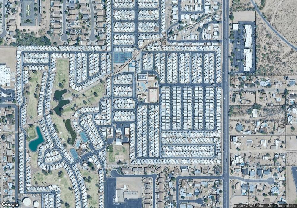
Map
Nearby Homes
- 1448 S Zuni --
- 1374 W Chesapeake Ave
- 1315 W Chesapeake Ave Unit 315
- 1347 W Inuit Ave Unit 347
- 1087 S Shoshone Dr
- 1356 Kiowa Cir
- 1478 W Blackfoot Ave
- 2366 S Pomo Ave
- 1363 W Chesapeake Dr
- 2358 S Pomo Ave
- 2359 S Pomo Ave
- 1152 S Sioux Dr
- 1358 W Kowa Cir Unit 358
- 1098 Shoshone Dr Unit 98
- 2269 S Seminole Dr
- 2290 S Seminole Dr
- 1281 S Sioux Dr
- 1277 S Shawnee Dr
- 1226 Seneca Dr
- 1279 S Sioux Dr
- 727 Havasupi Dr
- 1389 S Cheyenne Dr
- 1419 S Havasupai Dr
- 150 Kiowa Cir
- 1416 S Havasupai Dr Unit 416
- 726 Havasupi Dr Unit 423
- 726 Havasupi Dr
- 113 S Kiowa Cir
- 113 S Kiowa Cir Unit 450
- 148 W Kiowa Cir
- 115 S Kiowa Dr
- 244 W 14th Ave
- 218 W 14th Ave
- 262 W 14th Ave
- 1385 S Chesapeake Dr Unit 385
- 1446 S Zuni Dr
- 1447 S Zuni Dr
- 290 W 14th Ave Unit 116
- 290 W 14th Ave Unit 4
- 290 W 14th Ave