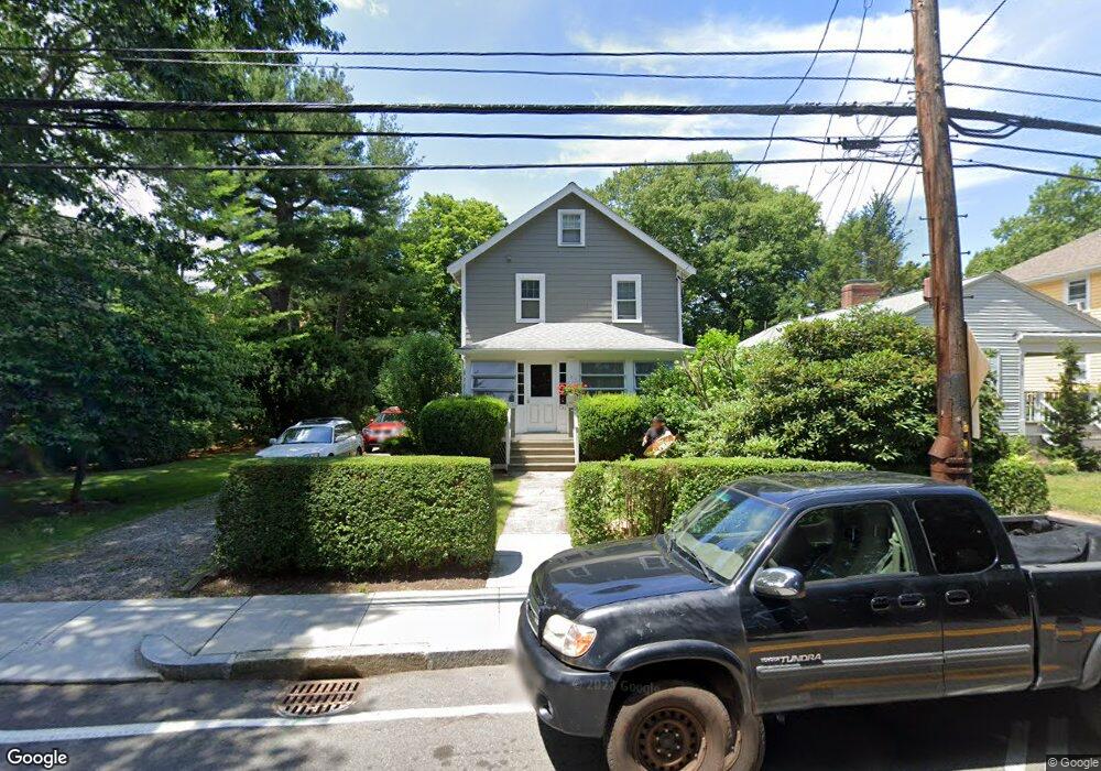
731 Heath St Chestnut Hill, MA 02467
Chestnut Hill NeighborhoodEstimated Value: $1,264,000 - $2,214,000
5
Beds
2
Baths
1,778
Sq Ft
$917/Sq Ft
Est. Value
About This Home
This home is located at 731 Heath St, Chestnut Hill, MA 02467 and is currently estimated at $1,631,206, approximately $917 per square foot. 731 Heath St is a home located in Norfolk County with nearby schools including Baker School, Brimmer & May School, and Mount Alvernia Academy.
Ownership History
Date
Name
Owned For
Owner Type
Purchase Details
Closed on
Apr 26, 1984
Bought by
Baker Edward J and Baker Diane H
Current Estimated Value
Create a Home Valuation Report for This Property
The Home Valuation Report is an in-depth analysis detailing your home's value as well as a comparison with similar homes in the area
Home Values in the Area
Average Home Value in this Area
Purchase History
| Date | Buyer | Sale Price | Title Company |
|---|---|---|---|
| Baker Edward J | $132,000 | -- |
Source: Public Records
Mortgage History
| Date | Status | Borrower | Loan Amount |
|---|---|---|---|
| Open | Baker Edward J | $129,104 | |
| Closed | Baker Edward J | $182,200 | |
| Closed | Baker Edward J | $125,000 |
Source: Public Records
Tax History Compared to Growth
Tax History
| Year | Tax Paid | Tax Assessment Tax Assessment Total Assessment is a certain percentage of the fair market value that is determined by local assessors to be the total taxable value of land and additions on the property. | Land | Improvement |
|---|---|---|---|---|
| 2025 | $13,446 | $1,362,300 | $756,000 | $606,300 |
| 2024 | $12,800 | $1,310,100 | $726,900 | $583,200 |
| 2023 | $12,294 | $1,233,100 | $663,200 | $569,900 |
| 2022 | $11,966 | $1,174,300 | $631,600 | $542,700 |
| 2021 | $11,066 | $1,129,200 | $607,300 | $521,900 |
| 2020 | $10,075 | $1,066,100 | $552,100 | $514,000 |
| 2019 | $9,426 | $1,006,000 | $525,800 | $480,200 |
| 2018 | $9,572 | $1,011,800 | $531,100 | $480,700 |
| 2017 | $9,430 | $954,500 | $501,000 | $453,500 |
| 2016 | $9,296 | $892,100 | $468,200 | $423,900 |
| 2015 | $8,904 | $833,700 | $437,600 | $396,100 |
| 2014 | $8,982 | $788,600 | $397,800 | $390,800 |
Source: Public Records
Map
Nearby Homes
- 321 Hammond Pond Pkwy Unit 103
- 321 Hammond Pond Pkwy Unit 301
- 15 Glenland Rd
- 11 Hammond Pond Pkwy Unit 3
- 771 Heath St Unit 771
- 33 Hammond Pond Pkwy Unit 2
- 809-811 Heath St Unit 811
- 799 Heath St Unit 2
- 811 Heath St
- 5 Heathwood Ln
- 3 Glenoe Rd
- 280 Boylston St Unit 203
- 280 Boylston St Unit 905
- 280 Boylston St Unit 710
- 280 Boylston St Unit 908
- 280 Boylston St Unit 415
- 280 Boylston St Unit 511
- 80 Louise Rd Unit 82
- 0 Glenoe Rd
- 250 Hammond Pond Pkwy Unit 1604N
- 727 Heath St
- 725 Heath St
- 721 Heath St
- 717 Heath St
- 739 Heath St
- 739 Heath St Unit 1
- 739 Heath St Unit 2
- 36 Glenland Rd
- 741 Heath St
- 741 Heath St Unit 3
- 741 Heath St Unit 2
- 741 Heath St Unit 1
- 711 Heath St
- 749 Heath St
- 745 Heath St
- 317 Hammond Pond Pkwy
- 39 Glenland Rd
- 39 Glenland Rd Unit 12
- 12 Glenland Rd
- 12 Glenland Rd