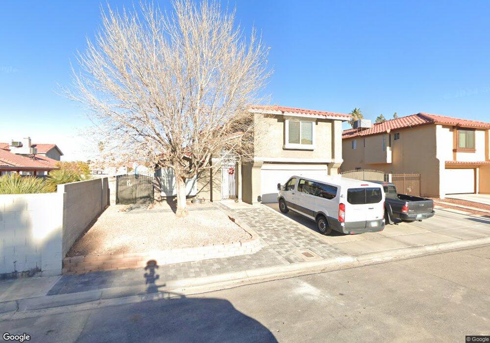
731 Memory Ln Las Vegas, NV 89110
Estimated Value: $416,418 - $472,000
3
Beds
3
Baths
1,938
Sq Ft
$226/Sq Ft
Est. Value
About This Home
This home is located at 731 Memory Ln, Las Vegas, NV 89110 and is currently estimated at $438,355, approximately $226 per square foot. 731 Memory Ln is a home located in Clark County with nearby schools including Charlotte & Jerry Keller Elementary School, Richard J. Rundle Elementary School, and Duane D. Keller Middle School.
Ownership History
Date
Name
Owned For
Owner Type
Purchase Details
Closed on
Jan 3, 2006
Sold by
Mccracken Ivan and Mccracken Lori
Bought by
Faught Roger R and Faught Amity M
Current Estimated Value
Home Financials for this Owner
Home Financials are based on the most recent Mortgage that was taken out on this home.
Original Mortgage
$220,000
Outstanding Balance
$123,018
Interest Rate
6.28%
Mortgage Type
Fannie Mae Freddie Mac
Estimated Equity
$315,337
Purchase Details
Closed on
Apr 1, 1999
Sold by
Camino Vicente T and Camino Noralyn L
Bought by
Mccracken Ii Ivan and Mccracken Lori
Home Financials for this Owner
Home Financials are based on the most recent Mortgage that was taken out on this home.
Original Mortgage
$119,990
Interest Rate
6.79%
Mortgage Type
FHA
Create a Home Valuation Report for This Property
The Home Valuation Report is an in-depth analysis detailing your home's value as well as a comparison with similar homes in the area
Home Values in the Area
Average Home Value in this Area
Purchase History
| Date | Buyer | Sale Price | Title Company |
|---|---|---|---|
| Faught Roger R | $275,000 | Lawyers Title Of Nevada | |
| Mccracken Ii Ivan | $121,000 | Fidelity National Title |
Source: Public Records
Mortgage History
| Date | Status | Borrower | Loan Amount |
|---|---|---|---|
| Open | Faught Roger R | $220,000 | |
| Previous Owner | Mccracken Ii Ivan | $119,990 |
Source: Public Records
Tax History Compared to Growth
Tax History
| Year | Tax Paid | Tax Assessment Tax Assessment Total Assessment is a certain percentage of the fair market value that is determined by local assessors to be the total taxable value of land and additions on the property. | Land | Improvement |
|---|---|---|---|---|
| 2025 | $1,744 | $90,087 | $27,300 | $62,787 |
| 2024 | $1,694 | $90,087 | $27,300 | $62,787 |
| 2023 | $1,694 | $90,076 | $30,450 | $59,626 |
| 2022 | $1,763 | $79,265 | $24,150 | $55,115 |
| 2021 | $1,245 | $60,231 | $21,000 | $39,231 |
| 2020 | $1,153 | $60,222 | $21,000 | $39,222 |
| 2019 | $1,081 | $56,502 | $17,500 | $39,002 |
| 2018 | $1,031 | $52,914 | $15,400 | $37,514 |
| 2017 | $1,480 | $50,460 | $12,250 | $38,210 |
| 2016 | $967 | $44,557 | $8,050 | $36,507 |
| 2015 | $964 | $44,066 | $6,650 | $37,416 |
| 2014 | $934 | $35,059 | $4,550 | $30,509 |
Source: Public Records
Map
Nearby Homes
- 720 N Sloan Ln
- 5836 Dunedin Ct
- 920 N Sloan Ln Unit 204
- 940 N Sloan Ln Unit 102
- 768 Santree Cir
- 5923 Halehaven Dr
- 730 N Christy Ln
- 0 Washington Unit 2360795
- 5529 Cedar Ave
- 563 Moon Chase St
- 5976 Stewart Ave
- 316 Linn Ln
- 0 Madge Ln
- 1185 Warm Sun Ct
- 278 Dolorosa St
- 6312 Seton Hall Ct
- 431 N Fogg St
- 6343 Mahogany Peak Ave
- 6400 Stewart Ave
- 1083 Devon Lake St
- 737 Memory Ln
- 716 Round Table Dr
- 738 Loganrun Ln
- 724 Round Table Dr
- 743 Memory Ln
- 743 Memory Ln Unit n/a
- 744 Loganrun Ln
- 5853 Pear Ct
- 732 Round Table Dr
- 692 Round Table Dr
- 749 Memory Ln
- 684 Round Table Dr
- 5863 Pear Ct
- 5862 Pear Ct
- 5797 Common Wealth Dr
- 5803 Common Wealth Dr
- 699 Round Table Dr
- 693 Round Table Dr
- 5809 Common Wealth Dr
- 748 Round Table Dr