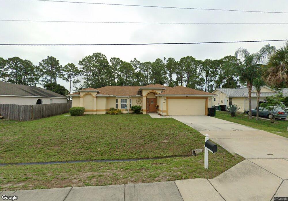
731 NW Selvitz Rd Port Saint Lucie, FL 34983
Northport Village NeighborhoodEstimated Value: $363,551 - $372,000
3
Beds
2
Baths
1,618
Sq Ft
$227/Sq Ft
Est. Value
About This Home
This home is located at 731 NW Selvitz Rd, Port Saint Lucie, FL 34983 and is currently estimated at $367,638, approximately $227 per square foot. 731 NW Selvitz Rd is a home located in St. Lucie County with nearby schools including Parkway Elementary School, Northport K-8 School, and Floresta Elementary School.
Ownership History
Date
Name
Owned For
Owner Type
Purchase Details
Closed on
Dec 9, 2002
Sold by
Paramount Quality Homes Corp
Bought by
Petit Homme Charles and Petit Jean Baptiste
Current Estimated Value
Home Financials for this Owner
Home Financials are based on the most recent Mortgage that was taken out on this home.
Original Mortgage
$118,600
Outstanding Balance
$49,770
Interest Rate
5.92%
Mortgage Type
Purchase Money Mortgage
Estimated Equity
$317,868
Create a Home Valuation Report for This Property
The Home Valuation Report is an in-depth analysis detailing your home's value as well as a comparison with similar homes in the area
Home Values in the Area
Average Home Value in this Area
Purchase History
| Date | Buyer | Sale Price | Title Company |
|---|---|---|---|
| Petit Homme Charles | $24,900 | -- |
Source: Public Records
Mortgage History
| Date | Status | Borrower | Loan Amount |
|---|---|---|---|
| Open | Petit Homme Charles | $118,600 |
Source: Public Records
Tax History Compared to Growth
Tax History
| Year | Tax Paid | Tax Assessment Tax Assessment Total Assessment is a certain percentage of the fair market value that is determined by local assessors to be the total taxable value of land and additions on the property. | Land | Improvement |
|---|---|---|---|---|
| 2024 | $5,900 | $314,200 | $138,000 | $176,200 |
| 2023 | $5,900 | $295,300 | $120,000 | $175,300 |
| 2022 | $5,336 | $256,900 | $105,000 | $151,900 |
| 2021 | $4,766 | $198,200 | $60,000 | $138,200 |
| 2020 | $4,427 | $173,000 | $48,000 | $125,000 |
| 2019 | $4,286 | $178,500 | $42,000 | $136,500 |
| 2018 | $3,849 | $165,800 | $34,000 | $131,800 |
| 2017 | $3,584 | $150,100 | $28,000 | $122,100 |
| 2016 | $3,273 | $127,400 | $21,600 | $105,800 |
| 2015 | $3,206 | $104,900 | $14,000 | $90,900 |
| 2014 | $2,835 | $88,220 | $0 | $0 |
Source: Public Records
Map
Nearby Homes
- 590 NW Archer Ave
- 590 NW Archer Ave Unit 37
- 973 NW Bayshore Blvd
- 651 NW Sharpe St
- 557 NW Fairfax Ave
- 6944 NW Daffodil Ln
- 685 NW Bayshore Blvd
- 6960 NW Denargo St
- 1001 NW Bayshore Blvd
- 482 NW Fairfax Ave
- 637 NW Bayshore Blvd
- 5220 NW Ever Rd
- 6904 NW Dorothy St
- 5240 NW Ever Rd
- 526 NW Kingston St
- 566 NW Conover St
- 663 NW North MacEdo Blvd
- 790 NW Bayard Ave
- 751 NW Grenada St
- 638 NW Grenada St
- 751 NW Selvitz Rd
- 711 NW Selvitz Rd
- 730 NW Kingston St
- 720 NW Kingston St
- 750 NW Kingston St
- 742 NW Selvitz Rd
- 710 NW Kingston St
- 761 NW Selvitz Rd
- 701 NW Selvitz Rd
- 700 NW Kingston St
- 791 NW Cardinal Dr
- 762 NW Selvitz Rd
- 771 NW Selvitz Rd
- 701 NW Sharpe St
- 737 NW Kingston St
- 770 NW Kingston St
- 772 NW Selvitz Rd
- 725 NW Kingston St
- 749 NW Kingston St
- 785 NW Cardinal Dr