7310 Drum Point Rd Saint Michaels, MD 21663
Estimated Value: $1,020,000 - $1,739,000
Studio
2
Baths
2,346
Sq Ft
$587/Sq Ft
Est. Value
About This Home
This home is located at 7310 Drum Point Rd, Saint Michaels, MD 21663 and is currently estimated at $1,376,832, approximately $586 per square foot. 7310 Drum Point Rd is a home located in Talbot County with nearby schools including St. Michaels Elementary School, St. Michaels Middle/High School, and Easton High School.
Ownership History
Date
Name
Owned For
Owner Type
Purchase Details
Closed on
May 12, 2000
Sold by
Quick Leonard Michael
Bought by
Quick Leonard M Trustee
Current Estimated Value
Purchase Details
Closed on
Feb 3, 1997
Sold by
Walterfoefer Robert L and Walterfoefer Nancy L
Bought by
Quick Leonard Michael and Quick Elizabeth Ann
Purchase Details
Closed on
Apr 13, 1981
Sold by
Lewis George R and Lewis Ruth L
Bought by
Walterfoefer Robert L and Walterfoefer Nancy L
Home Financials for this Owner
Home Financials are based on the most recent Mortgage that was taken out on this home.
Original Mortgage
$85,000
Interest Rate
15.5%
Create a Home Valuation Report for This Property
The Home Valuation Report is an in-depth analysis detailing your home's value as well as a comparison with similar homes in the area
Home Values in the Area
Average Home Value in this Area
Purchase History
| Date | Buyer | Sale Price | Title Company |
|---|---|---|---|
| Quick Leonard M Trustee | -- | -- | |
| Quick Leonard Michael | $365,000 | -- | |
| Walterfoefer Robert L | $159,500 | -- |
Source: Public Records
Mortgage History
| Date | Status | Borrower | Loan Amount |
|---|---|---|---|
| Previous Owner | Walterfoefer Robert L | $85,000 |
Source: Public Records
Tax History
| Year | Tax Paid | Tax Assessment Tax Assessment Total Assessment is a certain percentage of the fair market value that is determined by local assessors to be the total taxable value of land and additions on the property. | Land | Improvement |
|---|---|---|---|---|
| 2025 | $4,348 | $1,043,300 | $666,000 | $377,300 |
| 2024 | $4,258 | $1,005,633 | $0 | $0 |
| 2023 | $4,031 | $967,967 | $0 | $0 |
| 2022 | $3,751 | $930,300 | $651,200 | $279,100 |
| 2021 | $3,519 | $904,567 | $0 | $0 |
| 2020 | $3,519 | $878,833 | $0 | $0 |
| 2019 | $3,490 | $853,100 | $590,500 | $262,600 |
| 2018 | $3,372 | $833,833 | $0 | $0 |
| 2017 | $3,212 | $814,567 | $0 | $0 |
| 2016 | $3,032 | $795,300 | $0 | $0 |
| 2015 | $2,792 | $795,300 | $0 | $0 |
| 2014 | $2,792 | $795,300 | $0 | $0 |
Source: Public Records
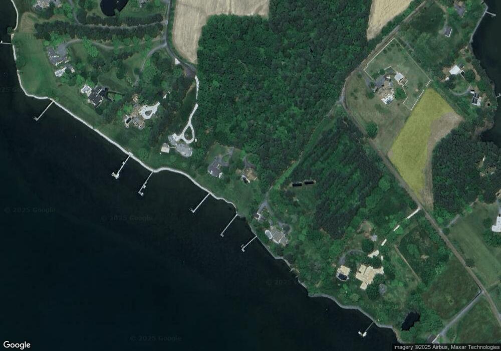
Map
Nearby Homes
- 7149 Drum Point Rd
- 7865 Pea Neck Rd
- 24965 Back Creek Dr
- 24912 Back Creek Dr
- 24977 Back Creek Dr
- 6448 Partridge Ln
- 24390 Oakwood Park Rd
- 7909 Church Neck Rd
- 100 Bush Terrace
- 1215 Washington Dr
- 1211 Washington Dr
- 23857 Ebb Point Rd
- 938 Marea Terrace
- 25711 Royal Rd
- 601 Cove Rd
- 25706 Edgeview Rd
- 23961 Lynnewood Dr
- 228 Tyler Ave
- 7049 & 7047 Acorn Aly
- 105 Seymour Ave
- 7314 Drum Point Rd
- 7308 Drum Point Rd
- 7310 Hambleton Rd
- 7320 Hambleton Rd
- 7335 Drum Point Rd
- 7238 Drum Point Rd
- 7330 Hambleton Rd
- 7340 Hambleton Rd
- 7360 Hambleton Rd
- 7223 Drum Point Rd
- 7343 Drum Point Rd
- 7188 Drum Point Rd
- 7221 Drum Point Rd
- 7350 Hambleton Rd
- 7369 Drum Point Rd
- 7481 Ryders Rest Ln
- 7332 Pea Neck Rd
- 7480 Ryders Rest Ln
- 7108 Drum Point Rd
- 7121 Drum Point Rd
Your Personal Tour Guide
Ask me questions while you tour the home.