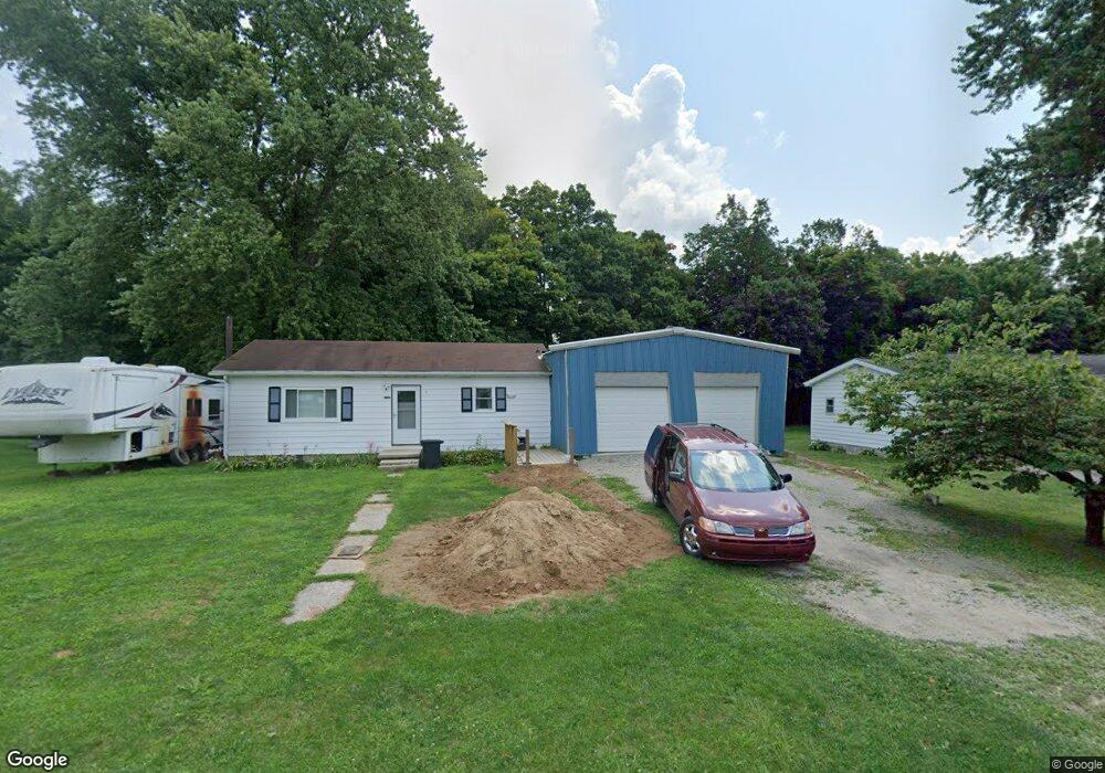
7310 Preston Rd Newark, OH 43055
Estimated Value: $199,000 - $233,000
2
Beds
1
Bath
864
Sq Ft
$254/Sq Ft
Est. Value
About This Home
This home is located at 7310 Preston Rd, Newark, OH 43055 and is currently estimated at $219,745, approximately $254 per square foot. 7310 Preston Rd is a home located in Licking County with nearby schools including Utica High School.
Ownership History
Date
Name
Owned For
Owner Type
Purchase Details
Closed on
Oct 2, 2009
Sold by
Burris Edward A
Bought by
Harvey David W
Current Estimated Value
Home Financials for this Owner
Home Financials are based on the most recent Mortgage that was taken out on this home.
Original Mortgage
$68,732
Outstanding Balance
$45,132
Interest Rate
5.19%
Mortgage Type
FHA
Estimated Equity
$174,613
Purchase Details
Closed on
Apr 9, 2002
Sold by
Green Wendell T
Bought by
Burris Shawn M
Create a Home Valuation Report for This Property
The Home Valuation Report is an in-depth analysis detailing your home's value as well as a comparison with similar homes in the area
Home Values in the Area
Average Home Value in this Area
Purchase History
| Date | Buyer | Sale Price | Title Company |
|---|---|---|---|
| Harvey David W | $70,000 | Attorney | |
| Burris Shawn M | $72,000 | -- |
Source: Public Records
Mortgage History
| Date | Status | Borrower | Loan Amount |
|---|---|---|---|
| Open | Harvey David W | $68,732 | |
| Closed | Burris Shawn M | -- |
Source: Public Records
Tax History Compared to Growth
Tax History
| Year | Tax Paid | Tax Assessment Tax Assessment Total Assessment is a certain percentage of the fair market value that is determined by local assessors to be the total taxable value of land and additions on the property. | Land | Improvement |
|---|---|---|---|---|
| 2024 | $1,618 | $44,980 | $16,420 | $28,560 |
| 2023 | $1,621 | $44,980 | $16,420 | $28,560 |
| 2022 | $1,336 | $33,430 | $11,480 | $21,950 |
| 2021 | $1,365 | $33,430 | $11,480 | $21,950 |
| 2020 | $1,291 | $33,430 | $11,480 | $21,950 |
| 2019 | $1,162 | $28,140 | $8,190 | $19,950 |
| 2018 | $1,168 | $0 | $0 | $0 |
| 2017 | $1,191 | $0 | $0 | $0 |
| 2016 | $1,113 | $0 | $0 | $0 |
| 2015 | $1,103 | $0 | $0 | $0 |
| 2014 | $1,468 | $0 | $0 | $0 |
| 2013 | $1,093 | $0 | $0 | $0 |
Source: Public Records
Map
Nearby Homes
- 7543 Marion Rd NE
- 9962 Weaver Rd
- 29 Parkway Dr
- 65 Sunset Dr
- 2190 Mount Herman Rd
- 152 Lincoln Dr
- 0 Dog Hollow Rd Unit LOT 5
- 0 Dog Hollow Rd Unit LOT 8 224025180
- 0 Dry Creek Rd NE
- 2360 E Audrey Dr
- 6929 Hillcrest Rd
- Mt Vernon Rd Unit LotWP001
- 2026 Freehold St
- 1952 Jamesburg St
- 2034 Dumont St Unit 81
- 2012 Edison St
- 1948 Jamesburg St
- 1981 Iselin St
- 1989 Iselin St
- 1993 Iselin St
- 7292 Preston Rd
- 7276 Preston Rd
- 7309 Preston Rd
- 7345 Preston Rd
- 7264 Preston Rd
- 7297 Preston Rd
- 7269 Preston Rd
- 7372 Preston Rd
- 7240 Preston Rd
- 7212 Preston Rd
- 7401 Preston Rd
- 7245 Preston Rd
- 4641 Saint Joseph Rd
- 7205 Preston Rd
- 7200 Preston Rd
- 7390 Preston Rd
- 35 Mulberry St
- 7181 Preston Rd
- 7176 Preston Rd
- 7169 Preston Rd