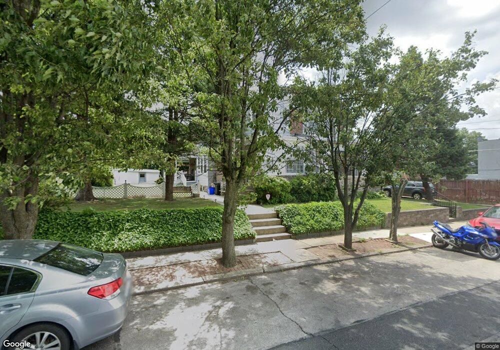
7311 Dungan Rd Philadelphia, PA 19111
Fox Chase NeighborhoodEstimated Value: $215,000 - $361,000
--
Bed
--
Bath
1,440
Sq Ft
$208/Sq Ft
Est. Value
About This Home
This home is located at 7311 Dungan Rd, Philadelphia, PA 19111 and is currently estimated at $299,802, approximately $208 per square foot. 7311 Dungan Rd is a home located in Philadelphia County with nearby schools including Kennedy C. Crossan School, Castor Gardens Middle School, and Northeast High School.
Ownership History
Date
Name
Owned For
Owner Type
Purchase Details
Closed on
May 21, 2021
Sold by
Mccann Phyllis A
Bought by
Xin Rong Real Estate Inc
Current Estimated Value
Home Financials for this Owner
Home Financials are based on the most recent Mortgage that was taken out on this home.
Original Mortgage
$154,400
Interest Rate
3%
Mortgage Type
New Conventional
Purchase Details
Closed on
Jul 12, 1973
Bought by
Mccann James G and Mccann Phyllis A
Create a Home Valuation Report for This Property
The Home Valuation Report is an in-depth analysis detailing your home's value as well as a comparison with similar homes in the area
Home Values in the Area
Average Home Value in this Area
Purchase History
| Date | Buyer | Sale Price | Title Company |
|---|---|---|---|
| Xin Rong Real Estate Inc | $175,000 | Prosperity Abstract | |
| Mccann James G | $24,500 | -- |
Source: Public Records
Mortgage History
| Date | Status | Borrower | Loan Amount |
|---|---|---|---|
| Previous Owner | Xin Rong Real Estate Inc | $154,400 |
Source: Public Records
Tax History Compared to Growth
Tax History
| Year | Tax Paid | Tax Assessment Tax Assessment Total Assessment is a certain percentage of the fair market value that is determined by local assessors to be the total taxable value of land and additions on the property. | Land | Improvement |
|---|---|---|---|---|
| 2025 | $3,453 | $278,600 | $55,720 | $222,880 |
| 2024 | $3,453 | $278,600 | $55,720 | $222,880 |
| 2023 | $3,453 | $246,700 | $49,340 | $197,360 |
| 2022 | $2,409 | $201,700 | $49,340 | $152,360 |
| 2021 | $3,039 | $0 | $0 | $0 |
| 2020 | $3,039 | $0 | $0 | $0 |
| 2019 | $2,766 | $0 | $0 | $0 |
| 2018 | $2,480 | $0 | $0 | $0 |
| 2017 | $2,480 | $0 | $0 | $0 |
| 2016 | $2,061 | $0 | $0 | $0 |
| 2015 | -- | $0 | $0 | $0 |
| 2014 | -- | $177,200 | $63,662 | $113,538 |
| 2012 | -- | $21,120 | $9,445 | $11,675 |
Source: Public Records
Map
Nearby Homes
- 7330 Montour St
- 7352 Dungan Rd
- 1207 Cottman Ave
- 7415 Whitaker Ave
- 7333 Tabor Ave
- 1423 Bleigh Ave
- 7146-50 Montour St
- 1431-35 Vista St
- 7418 Tabor Ave
- 7255 Bingham St
- 7524 Whitaker Ave
- 1304 Faunce St
- 1012 Saint Vincent St
- 1412 Faunce St
- 1016 Cottman Ave
- 7137 Lawndale Ave
- 1409 Faunce St
- 1340 Napfle Ave
- 7333-35 Rising Sun Ave
- 1113 Faunce St
- 7313 Dungan Rd
- 1321 Cottman Ave Unit 23
- 1325 Cottman Ave
- 1327 Cottman Ave
- 7317 Dungan Rd
- 7314 Dungan Rd
- 7316 Dungan Rd
- 1331 Cottman Ave
- 1307 Aldine St Unit 9
- 1311 Cottman Ave
- 7318 Dungan Rd
- 7320 Dungan Rd
- 1333 Cottman Ave
- 1309 Cottman Ave Unit 2
- 1309 Cottman Ave Unit 1
- 1309 Cottman Ave
- 1311 Aldine St Unit 13
- 7322 Dungan Rd
- 7323 Dungan Rd
- 1335 Cottman Ave