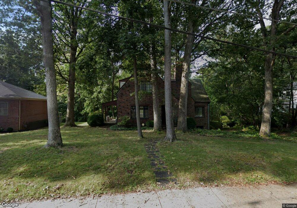
7312 Glenside Dr Takoma Park, MD 20912
Estimated Value: $718,000 - $1,004,000
--
Bed
3
Baths
1,433
Sq Ft
$574/Sq Ft
Est. Value
About This Home
This home is located at 7312 Glenside Dr, Takoma Park, MD 20912 and is currently estimated at $822,312, approximately $573 per square foot. 7312 Glenside Dr is a home located in Montgomery County with nearby schools including Takoma Park Elementary School, Piney Branch Elementary School, and Maple Valley Junior/Senior High School.
Ownership History
Date
Name
Owned For
Owner Type
Purchase Details
Closed on
Apr 21, 2017
Sold by
Attaway Chang Cara
Bought by
The Cara Attaway Chang Revocable Trust
Current Estimated Value
Purchase Details
Closed on
Oct 3, 2003
Sold by
Chang We and Chang Phe C
Bought by
Scott Chang W and Scott Kelly Attaway
Purchase Details
Closed on
Oct 23, 2002
Sold by
Hill John M and Hill N A
Bought by
Chang We and Chang Phe C
Purchase Details
Closed on
Feb 16, 2001
Sold by
Hill John M
Bought by
Hill John M and Hill N A
Purchase Details
Closed on
Jul 26, 1999
Sold by
Gooch Theodore J
Bought by
Hill John M
Create a Home Valuation Report for This Property
The Home Valuation Report is an in-depth analysis detailing your home's value as well as a comparison with similar homes in the area
Home Values in the Area
Average Home Value in this Area
Purchase History
| Date | Buyer | Sale Price | Title Company |
|---|---|---|---|
| The Cara Attaway Chang Revocable Trust | -- | Olympia Title Llc | |
| Scott Chang W | -- | -- | |
| Chang We | -- | -- | |
| Chang We | $520,000 | -- | |
| Hill John M | -- | -- | |
| Hill John M | $258,000 | -- |
Source: Public Records
Tax History Compared to Growth
Tax History
| Year | Tax Paid | Tax Assessment Tax Assessment Total Assessment is a certain percentage of the fair market value that is determined by local assessors to be the total taxable value of land and additions on the property. | Land | Improvement |
|---|---|---|---|---|
| 2025 | $13,953 | $698,700 | $341,400 | $357,300 |
| 2024 | $13,953 | $811,400 | $341,400 | $470,000 |
| 2023 | $12,064 | $745,133 | $0 | $0 |
| 2022 | $11,155 | $678,867 | $0 | $0 |
| 2021 | $9,506 | $612,600 | $341,400 | $271,200 |
| 2020 | $7,271 | $612,600 | $341,400 | $271,200 |
| 2019 | $9,482 | $612,600 | $341,400 | $271,200 |
| 2018 | $9,771 | $633,200 | $373,700 | $259,500 |
| 2017 | $8,774 | $591,767 | $0 | $0 |
| 2016 | -- | $550,333 | $0 | $0 |
| 2015 | $6,887 | $508,900 | $0 | $0 |
| 2014 | $6,887 | $508,900 | $0 | $0 |
Source: Public Records
Map
Nearby Homes
- 1112 Lancaster Rd
- 903 Heather Ave
- 7333 New Hampshire Ave Unit 510
- 7333 New Hampshire Ave
- 7333 New Hampshire Ave Unit 1217
- 7333 New Hampshire Ave Unit 112
- 7333 New Hampshire Ave Unit 816
- 7333 New Hampshire Ave Unit 311
- 7107 13th Ave
- 811 Sligo Creek Pkwy
- 7605 Wildwood Dr
- 7606 15th Ave
- 7308 15th Place
- 6914 New Hampshire Ave
- 702 & 704 Sligo Creek Pkwy
- 1215 Kirklynn Ave
- 1011 Hopewell Ave
- 704 Sligo Creek Pkwy
- 702 Auburn Ave
- 702 Sligo Creek Pkwy
- 7310 Glenside Dr
- 7314 Glenside Dr
- 7305 Glenside Dr
- 7303 Glenside Dr
- 7316 Glenside Dr
- 7307 Glenside Dr
- 1101 Haverford Rd
- 7302 Wildwood Dr
- 7300 Wildwood Dr
- 1100 Haverford Rd
- 7309 Glenside Dr
- 7322 Glenside Dr
- 1103 Haverford Rd
- 7318 Glenside Dr
- 1102 Haverford Rd
- 7320 Glenside Dr
- 1104 Haverford Rd
- 7311 Glenside Dr
- 1101 Merwood Dr
- 7300 New Hampshire Ave