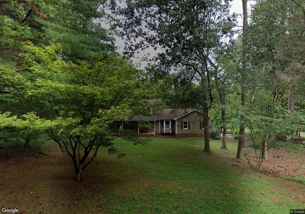
7313 Price Point Denver, NC 28037
Estimated Value: $462,000 - $510,832
3
Beds
4
Baths
2,769
Sq Ft
$176/Sq Ft
Est. Value
About This Home
This home is located at 7313 Price Point, Denver, NC 28037 and is currently estimated at $488,208, approximately $176 per square foot. 7313 Price Point is a home located in Lincoln County with nearby schools including Catawba Springs Elementary School, East Lincoln Middle School, and East Lincoln High School.
Ownership History
Date
Name
Owned For
Owner Type
Purchase Details
Closed on
Jun 20, 2016
Sold by
Kendall Jan
Bought by
Sharpe Samuel A
Current Estimated Value
Home Financials for this Owner
Home Financials are based on the most recent Mortgage that was taken out on this home.
Original Mortgage
$212,850
Outstanding Balance
$169,625
Interest Rate
3.61%
Mortgage Type
New Conventional
Estimated Equity
$318,583
Purchase Details
Closed on
Feb 20, 2001
Bought by
Kendall Jan and Mary Anne
Purchase Details
Closed on
Jul 20, 1994
Bought by
Howell James T and Howell Doris P
Create a Home Valuation Report for This Property
The Home Valuation Report is an in-depth analysis detailing your home's value as well as a comparison with similar homes in the area
Purchase History
| Date | Buyer | Sale Price | Title Company |
|---|---|---|---|
| Sharpe Samuel A | $236,500 | None Available | |
| Kendall Jan | $192,900 | -- | |
| Howell James T | $180,000 | -- |
Source: Public Records
Mortgage History
| Date | Status | Borrower | Loan Amount |
|---|---|---|---|
| Open | Sharpe Samuel A | $212,850 |
Source: Public Records
Tax History
| Year | Tax Paid | Tax Assessment Tax Assessment Total Assessment is a certain percentage of the fair market value that is determined by local assessors to be the total taxable value of land and additions on the property. | Land | Improvement |
|---|---|---|---|---|
| 2025 | $2,717 | $426,672 | $59,462 | $367,210 |
| 2024 | $2,686 | $426,672 | $59,462 | $367,210 |
| 2023 | $2,681 | $426,672 | $59,462 | $367,210 |
| 2022 | $1,955 | $248,966 | $47,574 | $201,392 |
| 2021 | $1,967 | $248,966 | $47,574 | $201,392 |
| 2020 | $1,735 | $248,966 | $47,574 | $201,392 |
| 2019 | $1,735 | $248,966 | $47,574 | $201,392 |
| 2018 | $1,779 | $237,390 | $42,520 | $194,870 |
| 2017 | $1,662 | $237,390 | $42,520 | $194,870 |
| 2016 | $1,675 | $240,306 | $42,520 | $197,786 |
| 2015 | $1,802 | $240,306 | $42,520 | $197,786 |
| 2014 | $1,751 | $243,222 | $45,436 | $197,786 |
Source: Public Records
Map
Nearby Homes
- 7229 Catawba Springs Rd
- 177 Highland Woods Ct
- 629 Tallulah Falls Dr
- 647 Tallulah Falls Dr
- 5562 Caneel Ln
- 188 Flat Rock Dr
- 6255 Scuttle Ln Unit 1104
- 5198 Looking Glass Trail
- 857 Black Beard Dr
- 448 Flat Rock Dr
- 482 Flat Rock Dr
- 7540 Deer Track Dr Unit 28
- 7755 Deer Track Dr
- 511 Bowline Dr
- 6096 Pier Dr
- 6296 Raven Rock Dr Unit 725
- 5197 Looking Glass Trail
- 495 Granite Lake Ct
- 246 Broadleaf Dr
- TBD Forest Oak Dr Unit 63
- 7283 Price Point
- 162 Crosscut Dr
- 7224 Price Point
- 7224 Price Point Unit 1
- 140 Crosscut Dr
- 7296 Price Point
- 197 Crosscut Dr
- 178 Crosscut Dr
- 7271 Price Point
- 214 Crosscut Dr
- 7284 Price Point
- 7255 Price Point
- 190 Crosscut Dr
- 154 Caroline Ct
- 7270 Price Point
- 215 Crosscut Dr
- 7223 Price Point
- 179 Caroline Ct
- 7258 Price Point
- 204 Crosscut Dr
Your Personal Tour Guide
Ask me questions while you tour the home.