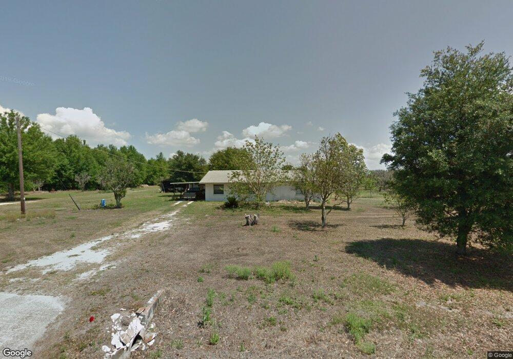
7314 121st Ave E Parrish, FL 34219
Estimated Value: $321,000 - $982,307
2
Beds
1
Bath
1,140
Sq Ft
$476/Sq Ft
Est. Value
About This Home
This home is located at 7314 121st Ave E, Parrish, FL 34219 and is currently estimated at $542,769, approximately $476 per square foot. 7314 121st Ave E is a home located in Manatee County with nearby schools including Barbara A. Harvey Elementary School, Buffalo Creek Middle School, and Parrish Community High School.
Ownership History
Date
Name
Owned For
Owner Type
Purchase Details
Closed on
Dec 13, 2022
Sold by
Seawright Dorothy and Seawright Dorothy Ann
Bought by
Dorothy Ann Seawright Revocable Living Trust and Seawright
Current Estimated Value
Purchase Details
Closed on
Jun 22, 2016
Sold by
Seawright Dorothy Ann and Estate Of Tarvis Eugene Seawri
Bought by
Seawright Dorothy Ann
Create a Home Valuation Report for This Property
The Home Valuation Report is an in-depth analysis detailing your home's value as well as a comparison with similar homes in the area
Home Values in the Area
Average Home Value in this Area
Purchase History
| Date | Buyer | Sale Price | Title Company |
|---|---|---|---|
| Dorothy Ann Seawright Revocable Living Trust | $100 | None Listed On Document | |
| Seawright Dorothy Ann | -- | Attorney |
Source: Public Records
Tax History
| Year | Tax Paid | Tax Assessment Tax Assessment Total Assessment is a certain percentage of the fair market value that is determined by local assessors to be the total taxable value of land and additions on the property. | Land | Improvement |
|---|---|---|---|---|
| 2025 | $7,156 | $362,790 | -- | -- |
| 2024 | $7,156 | $714,618 | $562,388 | $152,230 |
| 2023 | $7,156 | $718,668 | $562,388 | $156,280 |
| 2022 | $6,431 | $629,404 | $496,225 | $133,179 |
| 2021 | $5,970 | $588,533 | $496,225 | $92,308 |
| 2020 | $6,044 | $589,561 | $501,636 | $87,925 |
| 2019 | $5,985 | $590,825 | $501,636 | $89,189 |
| 2018 | $2,985 | $186,168 | $98,422 | $87,746 |
| 2017 | $2,846 | $186,625 | $0 | $0 |
| 2016 | $1,727 | $110,753 | $35,763 | $74,990 |
Source: Public Records
Map
Nearby Homes
- 7121 122nd Ave E
- 12300 Parrish Cemetary Rd
- 12346 U S 301
- 6927 Indus Valley Cir
- 12345 Parrish Cemetary Rd
- 7107 Indus Valley Cir
- 12310 Oak Hill Way
- 12342 Oak Hill Way
- 12350 Oak Hill Way
- 12369 Oak Hill Way
- 11809 Catawba Cove
- 12373 Oak Hill Way
- 12358 Oak Hill Way
- 12377 Oak Hill Way
- 12362 Oak Hill Way
- 12366 Oak Hill Way
- 12374 Oak Hill Way
- 8814 Bahama Mia Ln
- 12730 Hysmith Loop
- 7635 Twin Leaf Terrace
- 7315 121st Ave E
- 7307 121st Ave E
- 7302 121st Ave E
- 7301 121st Ave E
- 12120 73rd St E
- 7605 121st Ave E
- 12250 Us Hwy 301n
- 12050 73rd St E
- 7216 121st Ave E
- 7209 122nd Ave E
- 7217 121st Ave E
- 12255 Us Highway 301 N
- 7208 122nd Ave E
- 12020 73rd St E
- 7213 121st Ave E
- 12265 Us Highway 301 N
- 12019 73rd St E
- 7204 121st Ave E
- 12244 Us Highway 301 N
Your Personal Tour Guide
Ask me questions while you tour the home.