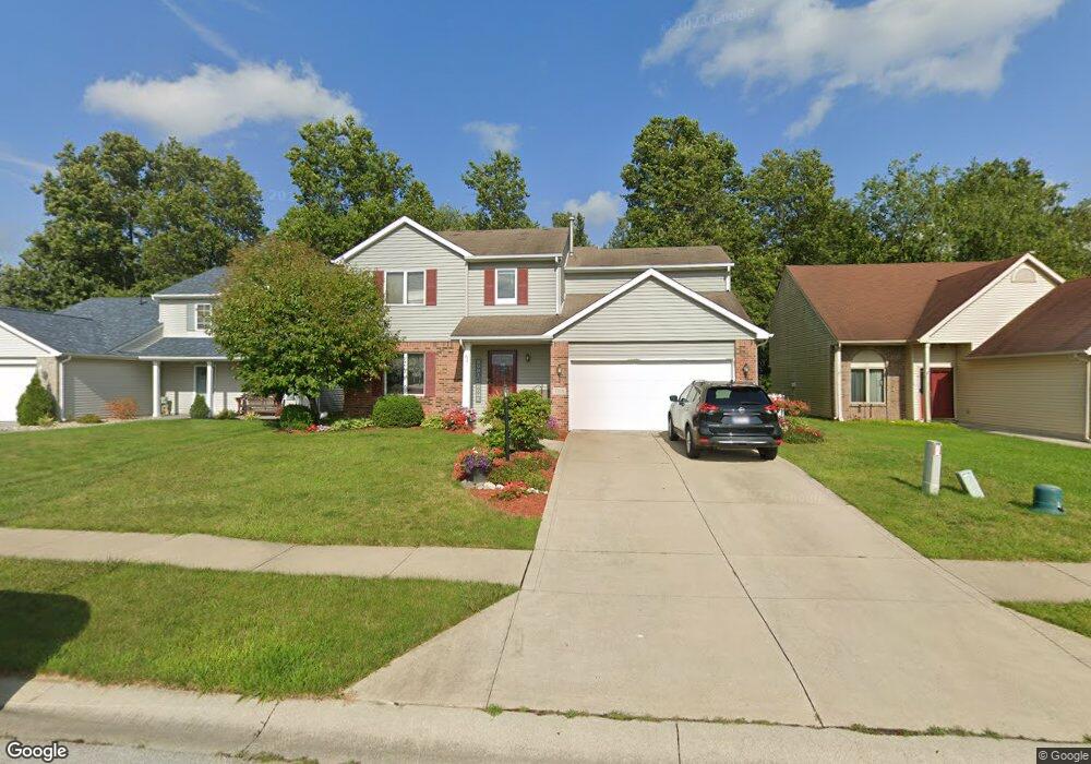
7314 Maeve Dr Fort Wayne, IN 46835
Northeast Fort Wayne NeighborhoodEstimated Value: $259,000 - $288,000
4
Beds
3
Baths
1,680
Sq Ft
$164/Sq Ft
Est. Value
About This Home
This home is located at 7314 Maeve Dr, Fort Wayne, IN 46835 and is currently estimated at $275,033, approximately $163 per square foot. 7314 Maeve Dr is a home located in Allen County with nearby schools including Arlington Elementary School, Jefferson Middle School, and Northrop High School.
Ownership History
Date
Name
Owned For
Owner Type
Purchase Details
Closed on
Feb 16, 2004
Sold by
Granite Ridge Builders Inc and Reincke Tony
Bought by
Ormiston Heather L
Current Estimated Value
Home Financials for this Owner
Home Financials are based on the most recent Mortgage that was taken out on this home.
Original Mortgage
$132,875
Outstanding Balance
$62,880
Interest Rate
5.96%
Mortgage Type
FHA
Estimated Equity
$212,153
Create a Home Valuation Report for This Property
The Home Valuation Report is an in-depth analysis detailing your home's value as well as a comparison with similar homes in the area
Home Values in the Area
Average Home Value in this Area
Purchase History
| Date | Buyer | Sale Price | Title Company |
|---|---|---|---|
| Ormiston Heather L | -- | Three Rivers Title Co Inc |
Source: Public Records
Mortgage History
| Date | Status | Borrower | Loan Amount |
|---|---|---|---|
| Open | Ormiston Heather L | $132,875 |
Source: Public Records
Tax History Compared to Growth
Tax History
| Year | Tax Paid | Tax Assessment Tax Assessment Total Assessment is a certain percentage of the fair market value that is determined by local assessors to be the total taxable value of land and additions on the property. | Land | Improvement |
|---|---|---|---|---|
| 2024 | $2,931 | $260,300 | $28,200 | $232,100 |
| 2023 | $2,931 | $257,200 | $28,200 | $229,000 |
| 2022 | $2,394 | $213,100 | $28,200 | $184,900 |
| 2021 | $2,126 | $190,600 | $22,300 | $168,300 |
| 2020 | $1,927 | $177,100 | $22,300 | $154,800 |
| 2019 | $1,750 | $162,000 | $22,300 | $139,700 |
| 2018 | $1,689 | $155,700 | $22,300 | $133,400 |
| 2017 | $1,589 | $145,700 | $22,300 | $123,400 |
| 2016 | $1,482 | $137,900 | $22,300 | $115,600 |
| 2014 | $1,311 | $127,400 | $22,300 | $105,100 |
| 2013 | $1,249 | $121,600 | $22,300 | $99,300 |
Source: Public Records
Map
Nearby Homes
- 9803 Snowstar Place
- 9609 Carine Cove
- 7695 Accio Cove
- 7920 Wethersfield Cove
- 7920 Welland Ct
- 10328 Fieldlight Blvd
- 7913 Maysfield Hill
- 7755 Tumnus Trail
- 7779 Tumnus Trail
- 9413 Acacia Passage
- 9613 Shellbrook Dr
- 7746 Tumnus Trail Unit 70
- 10255 Tirian Place
- 10249 Tirian Place
- 10299 Tirian Place
- 10263 Tirian Place
- 10205 Battle Run Way
- 6326 Treasure Cove
- 6329 Treasure Cove
- Harmony Plan at Trader's Trace
- 7318 Maeve Dr
- 7306 Maeve Dr
- 7322 Maeve Dr
- 7302 Maeve Dr
- 9921 Ballymore Dr
- 7326 Maeve Dr
- 9915 Ballymore Dr
- 7330 Maeve Dr
- 9934 Ballymore Dr
- 9834 Araglin Point
- 9909 Ballymore Dr
- 9928 Ballymore Dr
- 9922 Ballymore Dr
- 7334 Maeve Dr
- 9826 Araglin Point
- 9916 Ballymore Dr
- 9831 Ballymore Dr
- 7338 Maeve Dr
- 9818 Araglin Point
- 9921 Hidden Village Place