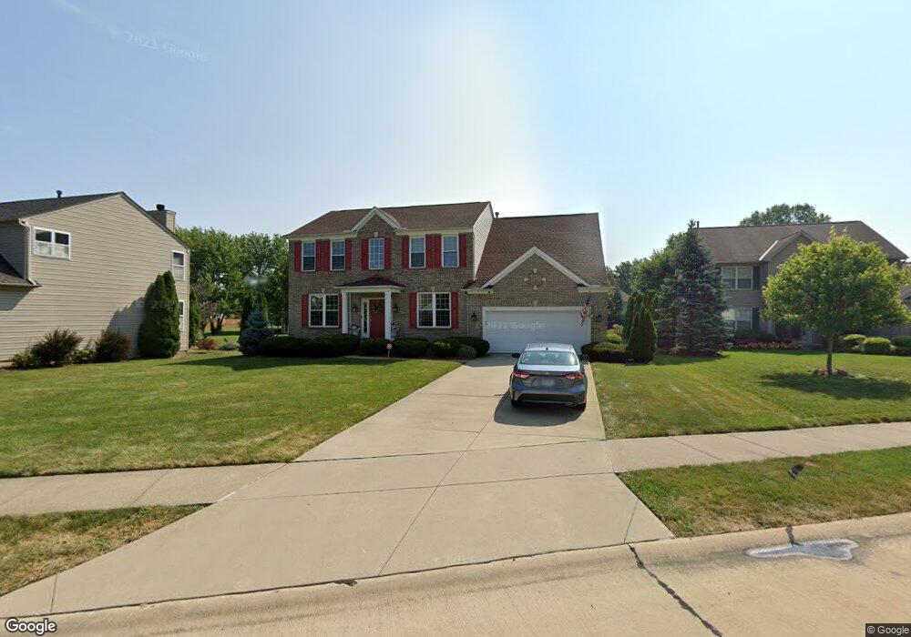
7319 Glenside Ln Olmsted Falls, OH 44138
Estimated Value: $377,000 - $479,000
4
Beds
3
Baths
2,416
Sq Ft
$173/Sq Ft
Est. Value
About This Home
This home is located at 7319 Glenside Ln, Olmsted Falls, OH 44138 and is currently estimated at $416,770, approximately $172 per square foot. 7319 Glenside Ln is a home located in Cuyahoga County with nearby schools including Olmsted Falls Intermediate Building, Falls-Lenox Primary Elementary School, and Olmsted Falls Middle School.
Ownership History
Date
Name
Owned For
Owner Type
Purchase Details
Closed on
Jul 25, 2005
Sold by
Curkovic Hrvoje and Curkovic Stana
Bought by
Stipek Timothy P and Stipek Isolde Kim
Current Estimated Value
Home Financials for this Owner
Home Financials are based on the most recent Mortgage that was taken out on this home.
Original Mortgage
$52,300
Interest Rate
5.66%
Mortgage Type
Credit Line Revolving
Create a Home Valuation Report for This Property
The Home Valuation Report is an in-depth analysis detailing your home's value as well as a comparison with similar homes in the area
Home Values in the Area
Average Home Value in this Area
Purchase History
| Date | Buyer | Sale Price | Title Company |
|---|---|---|---|
| Stipek Timothy P | $261,500 | Barristers Title Agency |
Source: Public Records
Mortgage History
| Date | Status | Borrower | Loan Amount |
|---|---|---|---|
| Closed | Stipek Timothy P | $52,300 | |
| Closed | Stipek Timothy P | $209,200 |
Source: Public Records
Tax History Compared to Growth
Tax History
| Year | Tax Paid | Tax Assessment Tax Assessment Total Assessment is a certain percentage of the fair market value that is determined by local assessors to be the total taxable value of land and additions on the property. | Land | Improvement |
|---|---|---|---|---|
| 2024 | $9,540 | $129,220 | $24,535 | $104,685 |
| 2023 | $9,218 | $101,780 | $20,510 | $81,270 |
| 2022 | $9,156 | $101,780 | $20,510 | $81,270 |
| 2021 | $9,073 | $101,780 | $20,510 | $81,270 |
| 2020 | $8,967 | $89,290 | $17,990 | $71,300 |
| 2019 | $8,117 | $255,100 | $51,400 | $203,700 |
| 2018 | $7,754 | $89,290 | $17,990 | $71,300 |
| 2017 | $7,818 | $83,230 | $17,500 | $65,730 |
| 2016 | $7,783 | $83,230 | $17,500 | $65,730 |
| 2015 | $7,706 | $83,230 | $17,500 | $65,730 |
| 2014 | $7,706 | $80,820 | $16,980 | $63,840 |
Source: Public Records
Map
Nearby Homes
- 7296 Chestnut Ct
- 7224 Pine Woods Way
- 7097 Stearns Rd
- 7087 Mackenzie Rd
- 27069 Oakwood Cir Unit 117W
- 6926 Mackenzie Rd
- 27202 Cook Rd Unit 95
- 27202 Cook Rd Unit 127
- 27097 Oakwood Cir Unit 208Z
- 29651 Westminster Dr
- 6979 Warrington Dr
- 8706 Stearns Rd
- 29 Carl Ln
- 6752 Cypress Dr
- 27259 Cook Rd
- 29880 Westminster Dr
- 28130 Angela Dr
- 29861 Wellington Dr
- 27261 Cook Rd
- 26788 Skyline Dr
- 7315 Glenside Ln
- 7323 Glenside Ln
- 7311 Glenside Ln
- 7327 Glenside Ln
- 7307 Glenside Ln
- 7331 Glenside Ln
- 7322 Valeside Ln
- 7314 Valeside Ln
- 7318 Valeside Ln
- 7320 Glenside Ln
- 7310 Valeside Ln
- 7316 Glenside Ln
- 7324 Glenside Ln
- 7326 Valeside Ln
- 7335 Glenside Ln
- 7312 Glenside Ln
- 7303 Glenside Ln
- 7306 Valeside Ln
- 7328 Glenside Ln
- 27073 Valeside Ln