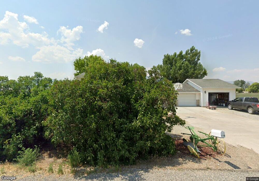
7319 N 2600 W Preston, ID 83263
Estimated Value: $436,473 - $523,000
4
Beds
3
Baths
2,336
Sq Ft
$204/Sq Ft
Est. Value
About This Home
This home is located at 7319 N 2600 W, Preston, ID 83263 and is currently estimated at $477,368, approximately $204 per square foot. 7319 N 2600 W is a home located in Franklin County with nearby schools including Oakwood Elementary School, Pioneer Elementary School, and Preston Junior High School.
Create a Home Valuation Report for This Property
The Home Valuation Report is an in-depth analysis detailing your home's value as well as a comparison with similar homes in the area
Home Values in the Area
Average Home Value in this Area
Tax History Compared to Growth
Tax History
| Year | Tax Paid | Tax Assessment Tax Assessment Total Assessment is a certain percentage of the fair market value that is determined by local assessors to be the total taxable value of land and additions on the property. | Land | Improvement |
|---|---|---|---|---|
| 2025 | $1,369 | $367,914 | $72,312 | $295,602 |
| 2024 | $1,369 | $367,914 | $72,312 | $295,602 |
| 2023 | $1,298 | $366,905 | $68,100 | $298,805 |
| 2022 | $1,440 | $307,850 | $36,600 | $271,250 |
| 2021 | $1,310 | $282,952 | $36,600 | $246,352 |
| 2019 | $1,030 | $190,028 | $36,600 | $153,428 |
| 2018 | $1,039 | $182,328 | $28,900 | $153,428 |
| 2017 | $1,086 | $184,308 | $28,900 | $155,408 |
| 2016 | $886 | $133,270 | $28,900 | $104,370 |
| 2015 | $933 | $145,550 | $28,900 | $116,650 |
| 2014 | $16,926 | $158,670 | $28,900 | $129,770 |
| 2013 | $14,918 | $158,670 | $28,900 | $129,770 |
Source: Public Records
Map
Nearby Homes
- 4000 W 7200 N
- N 4000 Rd W
- 1592 W 6700 N
- 7500 N 1200 W
- 1100 W 6700 Rd N
- 1200 Mail Route Rd
- 30 W 100 S
- 1100 Mail Route Rd
- 4000 N 4400 W Unit 4
- 4000 N 4400 W Unit 7
- 3200 N 4400 W Unit 1
- 3200 N 4400 W Unit 2
- 3 Hull Lot of Littles Subdivisio Unit 3
- 2 Hull Lot of Littles Subdivisio Unit 2
- 1 Hull Lot of Littles Subdvision Unit 1
- 718 S 700 E
- 5263 N Highway 34
- 9029 N Treasurton Rd
- 31006 U S 91
- 31001 U S 91