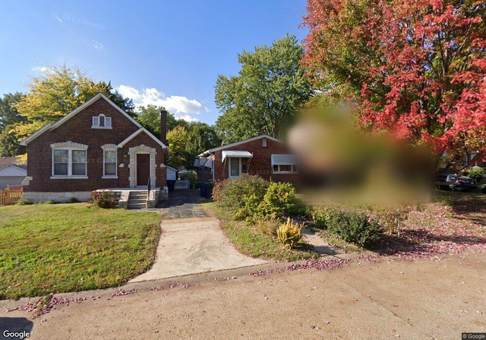
7319 Sharp Ave Saint Louis, MO 63116
Boulevard Heights NeighborhoodEstimated Value: $171,000 - $210,000
Studio
1
Bath
1,812
Sq Ft
$103/Sq Ft
Est. Value
About This Home
This home is located at 7319 Sharp Ave, Saint Louis, MO 63116 and is currently estimated at $186,114, approximately $102 per square foot. 7319 Sharp Ave is a home located in St. Louis City with nearby schools including Woerner Elementary School, Long International Middle School, and Roosevelt High School.
Ownership History
Date
Name
Owned For
Owner Type
Purchase Details
Closed on
Sep 28, 2000
Sold by
Drusch Denise M and Marco Michael W
Bought by
Dohr Susan A
Current Estimated Value
Purchase Details
Closed on
Jul 24, 1998
Sold by
Deloff Katherine and Deloff George N
Bought by
Drusch Denise M
Home Financials for this Owner
Home Financials are based on the most recent Mortgage that was taken out on this home.
Original Mortgage
$55,422
Interest Rate
6.94%
Mortgage Type
FHA
Create a Home Valuation Report for This Property
The Home Valuation Report is an in-depth analysis detailing your home's value as well as a comparison with similar homes in the area
Home Values in the Area
Average Home Value in this Area
Purchase History
| Date | Buyer | Sale Price | Title Company |
|---|---|---|---|
| Dohr Susan A | -- | -- | |
| Drusch Denise M | -- | -- |
Source: Public Records
Mortgage History
| Date | Status | Borrower | Loan Amount |
|---|---|---|---|
| Previous Owner | Drusch Denise M | $55,422 |
Source: Public Records
Tax History
| Year | Tax Paid | Tax Assessment Tax Assessment Total Assessment is a certain percentage of the fair market value that is determined by local assessors to be the total taxable value of land and additions on the property. | Land | Improvement |
|---|---|---|---|---|
| 2025 | $2,219 | $29,330 | $1,940 | $27,390 |
| 2024 | $2,111 | $26,170 | $1,940 | $24,230 |
| 2023 | $2,111 | $26,170 | $1,940 | $24,230 |
| 2022 | $1,977 | $23,580 | $1,940 | $21,640 |
| 2021 | $1,974 | $23,580 | $1,940 | $21,640 |
| 2020 | $1,741 | $20,920 | $1,940 | $18,980 |
| 2019 | $1,735 | $20,920 | $1,940 | $18,980 |
| 2018 | $1,617 | $18,870 | $1,620 | $17,250 |
| 2017 | $1,590 | $18,870 | $1,620 | $17,250 |
| 2016 | $1,553 | $18,200 | $1,620 | $16,590 |
| 2015 | $1,409 | $18,210 | $1,620 | $16,590 |
| 2014 | $1,389 | $18,210 | $1,620 | $16,590 |
| 2013 | -- | $17,940 | $1,620 | $16,320 |
Source: Public Records
Map
Nearby Homes
- 7316 Sharp Ave
- 7337 Sharp Ave
- 7124 Marwinette Ave
- 4028 Blow St
- 7123 Trainor Place
- 7119 Trainor Place
- 4050 Quincy St
- 4056 Quincy St
- 7408 Ray Ave
- 7417 Ray Ave
- 3761 Blow St
- 3733 Louis St
- 3729 Upton St
- 4153 Loughborough Ave
- 3745 Primm St
- 6623 Leona St
- 7816 Wilmar Place
- 3917 Crosby Dr
- 7320 Eugene Ave
- 4140 Tesson St
Your Personal Tour Guide
Ask me questions while you tour the home.