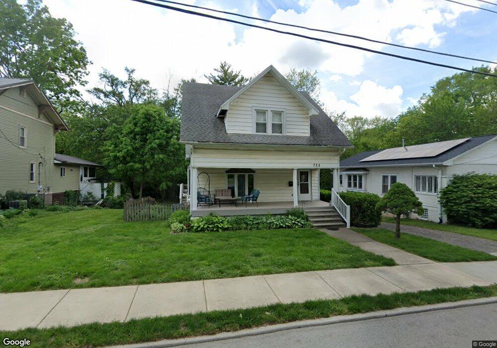
732 10th St Charleston, IL 61920
Estimated Value: $114,000 - $130,000
4
Beds
2
Baths
1,348
Sq Ft
$89/Sq Ft
Est. Value
About This Home
This home is located at 732 10th St, Charleston, IL 61920 and is currently estimated at $120,215, approximately $89 per square foot. 732 10th St is a home located in Coles County with nearby schools including Charleston High School and Charleston Christian Academy.
Ownership History
Date
Name
Owned For
Owner Type
Purchase Details
Closed on
Jun 19, 2007
Sold by
Ball Carl and Ball Edna Joan
Bought by
Viertel David C and Viertel Julie K
Current Estimated Value
Home Financials for this Owner
Home Financials are based on the most recent Mortgage that was taken out on this home.
Original Mortgage
$66,400
Outstanding Balance
$41,024
Interest Rate
6.37%
Mortgage Type
New Conventional
Estimated Equity
$79,191
Create a Home Valuation Report for This Property
The Home Valuation Report is an in-depth analysis detailing your home's value as well as a comparison with similar homes in the area
Home Values in the Area
Average Home Value in this Area
Purchase History
| Date | Buyer | Sale Price | Title Company |
|---|---|---|---|
| Viertel David C | $83,000 | None Available |
Source: Public Records
Mortgage History
| Date | Status | Borrower | Loan Amount |
|---|---|---|---|
| Open | Viertel David C | $66,400 |
Source: Public Records
Tax History
| Year | Tax Paid | Tax Assessment Tax Assessment Total Assessment is a certain percentage of the fair market value that is determined by local assessors to be the total taxable value of land and additions on the property. | Land | Improvement |
|---|---|---|---|---|
| 2024 | $2,105 | $33,132 | $5,040 | $28,092 |
| 2023 | $2,030 | $30,258 | $4,603 | $25,655 |
| 2022 | $2,026 | $29,758 | $4,527 | $25,231 |
| 2021 | $2,089 | $28,559 | $4,345 | $24,214 |
| 2020 | $2,120 | $29,590 | $4,450 | $25,140 |
| 2019 | $2,067 | $28,559 | $4,295 | $24,264 |
| 2018 | $2,045 | $28,559 | $4,295 | $24,264 |
| 2017 | $2,018 | $28,559 | $4,295 | $24,264 |
| 2016 | $2,000 | $28,559 | $4,295 | $24,264 |
| 2015 | $2,065 | $28,559 | $4,295 | $24,264 |
| 2014 | $2,065 | $28,559 | $4,295 | $24,264 |
| 2013 | $2,065 | $28,559 | $4,295 | $24,264 |
Source: Public Records
Map
Nearby Homes
- 1201 Monroe Ave
- 6 Brosam Dr
- 918 10th St
- 956 10th St
- 1021 Jefferson Ave
- 1404 Madison Ave
- 218 Jackson Ave
- 227 3rd St
- 1103 & 1105 6th St
- 1057 7th St
- 314 Adams Ave
- 109 N 12th St
- 29 Jackson Ave
- 221 N 12th St
- 941 1st St
- 124 Polk Ave
- 800 Division St
- 8 W Harrison Ave
- Lot 35 Tanglewood Dr
- Lot 28 Tanglewood Dr
Your Personal Tour Guide
Ask me questions while you tour the home.