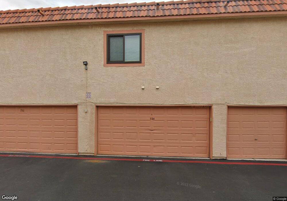
732 Apple Tree Ct Henderson, NV 89014
Green Valley North NeighborhoodEstimated Value: $203,000 - $224,000
1
Bed
2
Baths
630
Sq Ft
$338/Sq Ft
Est. Value
About This Home
This home is located at 732 Apple Tree Ct, Henderson, NV 89014 and is currently estimated at $212,635, approximately $337 per square foot. 732 Apple Tree Ct is a home located in Clark County with nearby schools including Harriet Treem Elementary School, Jim Thorpe Elementary School, and Francis H Cortney Junior High School.
Ownership History
Date
Name
Owned For
Owner Type
Purchase Details
Closed on
Apr 3, 2023
Sold by
Sharapan Michael Scott and Sharapan Michelle Elizab
Bought by
Sharapan Family Trust
Current Estimated Value
Purchase Details
Closed on
May 18, 2022
Sold by
Colbeco Trust
Bought by
Sharapan Michael Scott and Sharapan Michelle Elizabeth
Home Financials for this Owner
Home Financials are based on the most recent Mortgage that was taken out on this home.
Original Mortgage
$181,100
Interest Rate
5.11%
Mortgage Type
New Conventional
Purchase Details
Closed on
Aug 9, 1994
Sold by
Cutter Anna R
Bought by
Slade Marilyn
Purchase Details
Closed on
Dec 9, 1993
Sold by
Eskin Saevitz Arlene
Bought by
Cutter Anna R
Home Financials for this Owner
Home Financials are based on the most recent Mortgage that was taken out on this home.
Original Mortgage
$50,350
Interest Rate
6.89%
Create a Home Valuation Report for This Property
The Home Valuation Report is an in-depth analysis detailing your home's value as well as a comparison with similar homes in the area
Home Values in the Area
Average Home Value in this Area
Purchase History
We collect this data history from publicly available records. To have your information removed, we recommend requesting removal directly through your county’s website.
| Date | Buyer | Sale Price | Title Company |
|---|---|---|---|
| Sharapan Family Trust | -- | -- | |
| Sharapan Michael Scott | $226,500 | Ticor Title | |
| Slade Marilyn | $500 | Nevada Title Company | |
| Cutter Anna R | $53,000 | United Title |
Source: Public Records
Mortgage History
We collect this data history from publicly available records. To have your information removed, we recommend requesting removal directly through your county’s website.
| Date | Status | Borrower | Loan Amount |
|---|---|---|---|
| Previous Owner | Sharapan Michael Scott | $181,100 | |
| Previous Owner | Cutter Anna R | $50,350 |
Source: Public Records
Tax History
| Year | Tax Paid | Tax Assessment Tax Assessment Total Assessment is a certain percentage of the fair market value that is determined by local assessors to be the total taxable value of land and additions on the property. | Land | Improvement |
|---|---|---|---|---|
| 2026 | $472 | $35,369 | $21,350 | $14,019 |
| 2025 | $437 | $35,750 | $21,350 | $14,400 |
| 2024 | $405 | $35,750 | $21,350 | $14,400 |
| 2023 | $425 | $38,028 | $24,500 | $13,528 |
| 2022 | $413 | $32,131 | $19,005 | $13,126 |
| 2021 | $382 | $28,937 | $17,500 | $11,437 |
| 2020 | $352 | $29,577 | $17,500 | $12,077 |
| 2019 | $330 | $26,191 | $14,000 | $12,191 |
| 2018 | $315 | $20,671 | $8,750 | $11,921 |
| 2017 | $543 | $18,723 | $6,650 | $12,073 |
| 2016 | $296 | $17,036 | $5,600 | $11,436 |
| 2015 | $294 | $13,777 | $3,850 | $9,927 |
| 2014 | $285 | $9,544 | $3,500 | $6,044 |
Source: Public Records
Map
Nearby Homes
- 721 Nectarine Ct
- 1979 Cutlass Dr Unit 72
- 1995 Cutlass Dr Unit 64
- 1939 Cutlass Dr Unit 92
- 1931 Cutlass Dr Unit n/a
- 1807 Rapier Dr Unit 151
- 1915 Cutlass Dr Unit 104
- 586 Cervantes Dr
- 1817 Cutlass Dr Unit 121
- 547 British Ct
- 2775 Durness Ct Unit 1
- 538 Lambeth Ct
- 1900 Equinox Ridge Way
- 1716 Comstock Dr
- 2803 Glendevon Cir
- 1955 Sunset Village Cir
- 1702 Sonoran Bluff Ave
- 1735 Maverick Ct
- 1829 Quarley Place
- 1667 Britannia Ave
- 1851 Mimosa Ct
- 1833 Avacado Ct
- 733 Apple Tree Ct
- 1834 Avacado Ct Unit B
- 735 Apple Tree Ct
- 735 Apple Tree Ct Unit A
- 1830 Avacado Ct Unit C
- 1839 Mimosa Ct
- 1828 Avacado Ct
- 1849 Teak Ct
- 730 Apple Tree Ct
- 775 Apple Tree Ct
- 759 Apple Tree Ct Unit C
- 773 Apple Tree Ct
- 747 Apple Tree Ct
- 773 Apple Tree Ct Unit D
- 754 Apple Tree Ct
- 766 Apple Tree Ct Unit A
- 754 Apple Tree Ct Unit D
- 777 Apple Tree Ct
Your Personal Tour Guide
Ask me questions while you tour the home.