732 Brannan Rd McDonough, GA 30253
Estimated Value: $192,000 - $324,000
2
Beds
1
Bath
880
Sq Ft
$308/Sq Ft
Est. Value
About This Home
This home is located at 732 Brannan Rd, McDonough, GA 30253 and is currently estimated at $271,000, approximately $307 per square foot. 732 Brannan Rd is a home located in Henry County with nearby schools including East Lake Elementary School, Union Grove Middle School, and Union Grove High School.
Ownership History
Date
Name
Owned For
Owner Type
Purchase Details
Closed on
Oct 16, 2024
Sold by
Momser Llc
Bought by
Liberty Communities Llc
Current Estimated Value
Purchase Details
Closed on
Nov 15, 2021
Sold by
Liberty Communities Llc
Bought by
Momser Llc
Purchase Details
Closed on
Jun 9, 2021
Sold by
Clark Family Investments Lp
Bought by
Liberty Communities Llc
Purchase Details
Closed on
Jan 26, 2016
Sold by
Clark James W
Bought by
Clark Family Investment Lp
Create a Home Valuation Report for This Property
The Home Valuation Report is an in-depth analysis detailing your home's value as well as a comparison with similar homes in the area
Home Values in the Area
Average Home Value in this Area
Purchase History
| Date | Buyer | Sale Price | Title Company |
|---|---|---|---|
| Liberty Communities Llc | -- | -- | |
| Momser Llc | -- | -- | |
| Liberty Communities Llc | -- | -- | |
| Clark Family Investment Lp | -- | -- |
Source: Public Records
Tax History Compared to Growth
Tax History
| Year | Tax Paid | Tax Assessment Tax Assessment Total Assessment is a certain percentage of the fair market value that is determined by local assessors to be the total taxable value of land and additions on the property. | Land | Improvement |
|---|---|---|---|---|
| 2025 | $1,804 | $38,360 | $38,360 | $0 |
| 2024 | $1,804 | $34,080 | $34,080 | $0 |
| 2023 | $3,531 | $80,560 | $31,960 | $48,600 |
| 2022 | $2,627 | $61,800 | $29,840 | $31,960 |
| 2021 | $1,529 | $49,320 | $21,960 | $27,360 |
| 2020 | $1,375 | $44,280 | $20,680 | $23,600 |
| 2019 | $179 | $41,000 | $19,600 | $21,400 |
| 2018 | $0 | $32,720 | $18,120 | $14,600 |
| 2016 | $179 | $27,920 | $16,040 | $11,880 |
| 2015 | -- | $27,040 | $18,480 | $8,560 |
| 2014 | $179 | $25,800 | $18,480 | $7,320 |
Source: Public Records
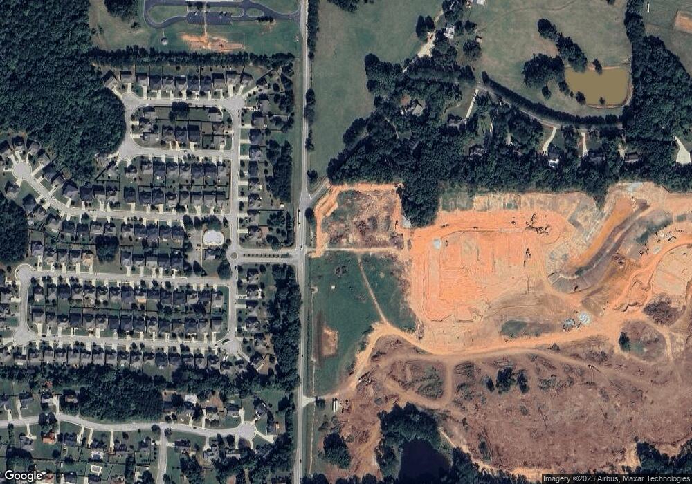
Map
Nearby Homes
- 466 Astoria Way
- 441 Astoria Way
- 273 Summit View Dr
- 124 Crown Walk
- 129 Crown Walk
- 1012 Brannan Rd
- 176 Cranapple Ln
- 479 Sawtooth Ln
- 1181 Paramount Dr
- 271 Mckinley Loop
- 98 Country Acres Ct
- 332 Warwick Place
- 360 Campground Rd
- 337 Inverness Ave
- 1102 Strath Clyde Way
- 1401 Aberdeen Ct
- 209 Braemar Ct
- 113 Glenmore Ln
- 240 Brannan Rd
- 212 Himalaya Way
- 325 Astoria Way
- 329 Astoria Way
- 329 Astoria Way Unit 137
- 321 Astoria Way
- 317 Astoria Way
- 333 Astoria Way
- 333 Astoria Way Unit 138
- 313 Astoria Way
- 337 Astoria Way
- 337 Astoria Way Unit 139
- 309 Astoria Way
- 341 Astoria Way
- 341 Astoria Way Unit 140
- 600 Vendella Cir
- 305 Astoria Way
- 345 Astoria Way
- 345 Astoria Way Unit 141
- 510 Astoria Way Unit 40
- 510 Astoria Way Unit 12
- 640 Astoria Way Unit 86