732 Brook Cir E Montrose, MN 55363
Estimated Value: $292,000 - $351,000
4
Beds
2
Baths
1,092
Sq Ft
$286/Sq Ft
Est. Value
About This Home
This home is located at 732 Brook Cir E, Montrose, MN 55363 and is currently estimated at $312,519, approximately $286 per square foot. 732 Brook Cir E is a home located in Wright County with nearby schools including Montrose Elementary School, Buffalo Community Middle School, and Buffalo Senior High School.
Ownership History
Date
Name
Owned For
Owner Type
Purchase Details
Closed on
Jan 22, 2018
Sold by
Bennett Jacob L and Bennett Gretchen
Bought by
Rogalski Daniel P and Bakke Ingrid
Current Estimated Value
Home Financials for this Owner
Home Financials are based on the most recent Mortgage that was taken out on this home.
Original Mortgage
$217,171
Outstanding Balance
$183,267
Interest Rate
3.94%
Mortgage Type
New Conventional
Estimated Equity
$129,252
Purchase Details
Closed on
Sep 22, 2006
Sold by
Key Land Homes
Bought by
Bennett Jacob L and Bennett Gretchen
Create a Home Valuation Report for This Property
The Home Valuation Report is an in-depth analysis detailing your home's value as well as a comparison with similar homes in the area
Home Values in the Area
Average Home Value in this Area
Purchase History
| Date | Buyer | Sale Price | Title Company |
|---|---|---|---|
| Rogalski Daniel P | $215,000 | Central Land Ttl Guarantee C | |
| Bennett Jacob L | $195,000 | -- | |
| Key Land Homes | $37,600 | -- |
Source: Public Records
Mortgage History
| Date | Status | Borrower | Loan Amount |
|---|---|---|---|
| Open | Rogalski Daniel P | $217,171 |
Source: Public Records
Tax History
| Year | Tax Paid | Tax Assessment Tax Assessment Total Assessment is a certain percentage of the fair market value that is determined by local assessors to be the total taxable value of land and additions on the property. | Land | Improvement |
|---|---|---|---|---|
| 2025 | $3,552 | $287,600 | $67,000 | $220,600 |
| 2024 | $3,332 | $289,400 | $77,000 | $212,400 |
| 2023 | $3,254 | $297,100 | $77,000 | $220,100 |
| 2022 | $3,040 | $268,200 | $69,000 | $199,200 |
| 2021 | $3,008 | $218,300 | $35,000 | $183,300 |
| 2020 | $2,970 | $211,500 | $35,000 | $176,500 |
| 2019 | $2,566 | $205,300 | $0 | $0 |
| 2018 | $2,326 | $165,600 | $0 | $0 |
| 2017 | $2,094 | $150,800 | $0 | $0 |
| 2016 | $1,990 | $0 | $0 | $0 |
| 2015 | $1,780 | $0 | $0 | $0 |
| 2014 | -- | $0 | $0 | $0 |
Source: Public Records
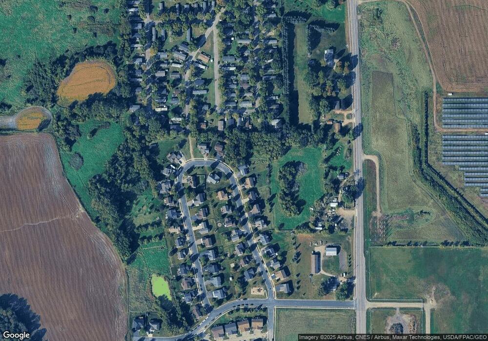
Map
Nearby Homes
- 730 Brook Cir E
- 733 Brook Cir E
- 736 Brook Cir E
- 735 Brook Cir E
- 738 Brook Cir E
- 728 Brook Cir W
- 720 Brook Cir W
- 718 Brook Cir W
- 739 Brook Cir E
- 740 Brook Cir E
- 716 Brook Cir W
- 714 Brook Cir W
- 714 714 Brook-Circle-w
- 741 Brook Cir E
- 725 Brook Cir W
- 742 Brook Cir E
- 723 Brook Cir W
- 721 Brook Cir W
- 712 Brook Cir W
- 719 Brook Cir W
Your Personal Tour Guide
Ask me questions while you tour the home.