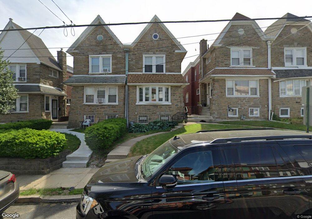
732 Fern St Lansdowne, PA 19050
Estimated Value: $279,000 - $332,000
4
Beds
2
Baths
1,982
Sq Ft
$150/Sq Ft
Est. Value
About This Home
This home is located at 732 Fern St, Lansdowne, PA 19050 and is currently estimated at $296,672, approximately $149 per square foot. 732 Fern St is a home located in Delaware County with nearby schools including Evans Elementary School, Penn Wood Middle School, and Penn Wood High School - Cypress Street Campus.
Ownership History
Date
Name
Owned For
Owner Type
Purchase Details
Closed on
Aug 26, 1998
Sold by
Hreha Teresa G
Bought by
Rambert Tom B and Rambert Tanya L
Current Estimated Value
Home Financials for this Owner
Home Financials are based on the most recent Mortgage that was taken out on this home.
Original Mortgage
$80,164
Outstanding Balance
$17,124
Interest Rate
6.9%
Mortgage Type
FHA
Estimated Equity
$279,548
Create a Home Valuation Report for This Property
The Home Valuation Report is an in-depth analysis detailing your home's value as well as a comparison with similar homes in the area
Home Values in the Area
Average Home Value in this Area
Purchase History
| Date | Buyer | Sale Price | Title Company |
|---|---|---|---|
| Rambert Tom B | $82,000 | Commonwealth Land Title Ins |
Source: Public Records
Mortgage History
| Date | Status | Borrower | Loan Amount |
|---|---|---|---|
| Open | Rambert Tom B | $80,164 |
Source: Public Records
Tax History Compared to Growth
Tax History
| Year | Tax Paid | Tax Assessment Tax Assessment Total Assessment is a certain percentage of the fair market value that is determined by local assessors to be the total taxable value of land and additions on the property. | Land | Improvement |
|---|---|---|---|---|
| 2025 | $6,372 | $149,230 | $32,410 | $116,820 |
| 2024 | $6,372 | $149,230 | $32,410 | $116,820 |
| 2023 | $5,787 | $149,230 | $32,410 | $116,820 |
| 2022 | $5,518 | $149,230 | $32,410 | $116,820 |
| 2021 | $8,345 | $149,230 | $32,410 | $116,820 |
| 2020 | $4,776 | $76,470 | $18,700 | $57,770 |
| 2019 | $4,692 | $76,470 | $18,700 | $57,770 |
| 2018 | $4,626 | $76,470 | $0 | $0 |
| 2017 | $4,529 | $76,470 | $0 | $0 |
| 2016 | $420 | $76,470 | $0 | $0 |
| 2015 | $428 | $76,470 | $0 | $0 |
| 2014 | $420 | $76,470 | $0 | $0 |
Source: Public Records
Map
Nearby Homes
- 1016 Whitby Ave
- 813 Arbor Rd
- 740 Church Ln
- 825 Laurel Rd
- 711 Yeadon Ave Unit 1
- 800 Bullock Ave
- 702 Cedar Ave
- 536 Cypress St
- 722 Yeadon Ave
- 808 Serrill Ave
- 908 Yeadon Ave
- 921 Serrill Ave
- 537 Orchard Ave
- 939 Serrill Ave
- 503 Bonsall Ave
- 530 Orchard Ave
- 1781 S 65th St
- 435 Bonsall Ave
- 6535 Windsor St
- 923 Bell Ave