732 Kookoosint Trail Kalispell, MT 59901
Estimated Value: $896,000 - $1,340,000
3
Beds
3
Baths
3,014
Sq Ft
$348/Sq Ft
Est. Value
About This Home
This home is located at 732 Kookoosint Trail, Kalispell, MT 59901 and is currently estimated at $1,048,080, approximately $347 per square foot. 732 Kookoosint Trail is a home located in Flathead County with nearby schools including Lillian Peterson School, Kalispell Middle School, and Flathead High School.
Ownership History
Date
Name
Owned For
Owner Type
Purchase Details
Closed on
May 17, 2010
Sold by
Rodgers Rolan W and Rodgers Susanne A
Bought by
Beams Dennis S and Beams Tammy K
Current Estimated Value
Home Financials for this Owner
Home Financials are based on the most recent Mortgage that was taken out on this home.
Original Mortgage
$417,000
Outstanding Balance
$279,362
Interest Rate
5.04%
Mortgage Type
New Conventional
Estimated Equity
$768,718
Create a Home Valuation Report for This Property
The Home Valuation Report is an in-depth analysis detailing your home's value as well as a comparison with similar homes in the area
Purchase History
| Date | Buyer | Sale Price | Title Company |
|---|---|---|---|
| Beams Dennis S | -- | Insured Titles |
Source: Public Records
Mortgage History
| Date | Status | Borrower | Loan Amount |
|---|---|---|---|
| Open | Beams Dennis S | $417,000 |
Source: Public Records
Tax History
| Year | Tax Paid | Tax Assessment Tax Assessment Total Assessment is a certain percentage of the fair market value that is determined by local assessors to be the total taxable value of land and additions on the property. | Land | Improvement |
|---|---|---|---|---|
| 2025 | $5,098 | $1,109,700 | $0 | $0 |
| 2024 | $5,499 | $861,200 | $0 | $0 |
| 2023 | $5,479 | $861,200 | $0 | $0 |
| 2022 | $4,971 | $584,900 | $0 | $0 |
| 2021 | $5,214 | $584,900 | $0 | $0 |
| 2020 | $4,969 | $547,000 | $0 | $0 |
| 2019 | $4,976 | $547,000 | $0 | $0 |
| 2018 | $4,893 | $515,800 | $0 | $0 |
| 2017 | $4,355 | $515,800 | $0 | $0 |
| 2016 | $3,794 | $438,500 | $0 | $0 |
| 2015 | $3,857 | $438,500 | $0 | $0 |
| 2014 | $3,864 | $263,887 | $0 | $0 |
Source: Public Records
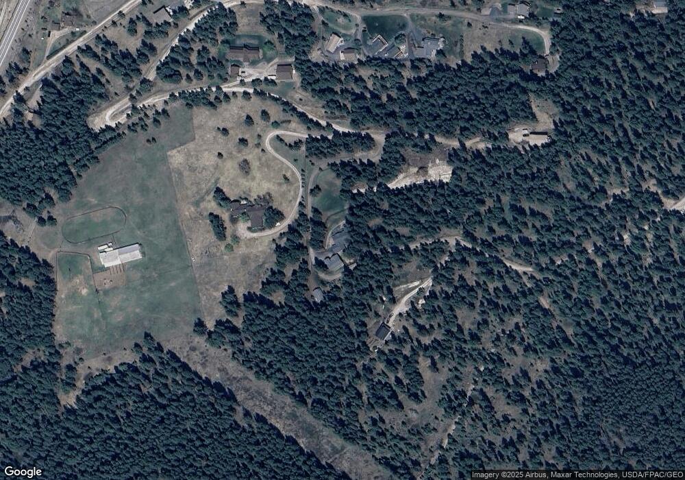
Map
Nearby Homes
- 192 Glacier Flats Rd
- 76 Meadow Mint Way
- 605 Stoneridge Dr
- 125 Stoneridge Dr
- 103 Terrace Rd
- 45 Roybals Way
- TBD Tbd
- 108 Eagle Crest Ct
- 130 Lupine Dr
- 152 Peaks View Loop
- 122 Treasure Island Way
- 189 High Rd
- 197 High Rd
- 605 Valley View Dr
- 1045 8th St W
- 1217 5th St W
- 106 Rainbow Dr
- 1010 7th St W
- 1963 Teal Dr
- 1695 Whalebone Dr
- 700 Kookoosint Trail
- 765 Kookoosint Trail
- 0 Kookoosint Trail
- NHN Kookoosint Trail
- 720 Kookoosint Trail
- 510 Kookoosint Trail
- 240 Kookoosint Trail
- 190 Kookoosint Trail
- 180 Kookoosint Trail
- 490 Kookoosint Trail
- 600 Kookoosint Trail
- 200 Kookoosint Trail
- 266 Kookoosint Trail
- 185 Kookoosint Trail
- 214 Kookoosint Trail
- 195 Kookoosint Trail
- 175 Kookoosint Trail
- 455 Kookoosint Trail
- 174 Kookoosint Trail
Your Personal Tour Guide
Ask me questions while you tour the home.