732 State Highway O Kissee Mills, MO 65680
Estimated Value: $296,928 - $512,000
3
Beds
3
Baths
2,800
Sq Ft
$133/Sq Ft
Est. Value
About This Home
This home is located at 732 State Highway O, Kissee Mills, MO 65680 and is currently estimated at $372,232, approximately $132 per square foot. 732 State Highway O is a home located in Taney County with nearby schools including Forsyth Elementary School, Forsyth Middle School, and Forsyth High School.
Ownership History
Date
Name
Owned For
Owner Type
Purchase Details
Closed on
Apr 30, 2019
Sold by
Revocable Living Trust Of David Pfister
Bought by
Miozza Richard and Daprato Sandra
Current Estimated Value
Home Financials for this Owner
Home Financials are based on the most recent Mortgage that was taken out on this home.
Original Mortgage
$140,800
Interest Rate
4.2%
Mortgage Type
New Conventional
Purchase Details
Closed on
Feb 17, 2012
Sold by
Pfister David and Pfister Joyce
Bought by
Revocable Living Trust Of David Pfister
Create a Home Valuation Report for This Property
The Home Valuation Report is an in-depth analysis detailing your home's value as well as a comparison with similar homes in the area
Home Values in the Area
Average Home Value in this Area
Purchase History
| Date | Buyer | Sale Price | Title Company |
|---|---|---|---|
| Miozza Richard | -- | Waco Title Company Branson | |
| Revocable Living Trust Of David Pfister | -- | None Available |
Source: Public Records
Mortgage History
| Date | Status | Borrower | Loan Amount |
|---|---|---|---|
| Open | Miozza Richard | $147,200 | |
| Closed | Miozza Richard | $140,800 |
Source: Public Records
Tax History Compared to Growth
Tax History
| Year | Tax Paid | Tax Assessment Tax Assessment Total Assessment is a certain percentage of the fair market value that is determined by local assessors to be the total taxable value of land and additions on the property. | Land | Improvement |
|---|---|---|---|---|
| 2025 | $1,161 | $20,990 | -- | -- |
| 2023 | $1,161 | $23,330 | $0 | $0 |
| 2022 | $1,151 | $23,330 | $0 | $0 |
| 2021 | $1,148 | $23,330 | $0 | $0 |
| 2019 | $989 | $20,540 | $0 | $0 |
| 2018 | $986 | $20,550 | $0 | $0 |
| 2017 | $986 | $20,550 | $0 | $0 |
| 2016 | $832 | $17,420 | $0 | $0 |
| 2015 | $832 | $17,420 | $0 | $0 |
| 2014 | $821 | $50,090 | $0 | $0 |
Source: Public Records
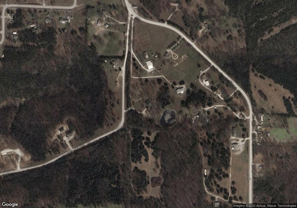
Map
Nearby Homes
- 317 State Highway O
- 501 Lake Point Rd
- 1145 Lake Point Rd
- 210 Castle Rock Dr
- Tbd Salmon Street & Muskie St
- 155 Lake Terrace Rd
- 000 Sanders Rd-Tract D
- 613 Lake Ranch Rd
- 1755 State Hwy O- Tract C
- 135 Sturgeon St
- 255 Bass St
- Tbd Lakeway
- 1755 State Hwy O- Tract B
- Tbd Catfish
- Tbd Perch St
- 000 Prescott Rd
- Tbd Catfish St & Drum St
- 000 Sanders Rd- Sub Lot 5
- 258 Davidson Rd
- 155 Cedar Springs Ave
- 732 State Highway O
- 734 State Highway O
- 780 State Highway O
- 780 State Highway O
- 818 State Highway O
- 882 State Highway O
- 706 State Highway O
- 281 Lake Ranch Rd
- 938 State Highway O
- 1085 Lake Point Rd
- 1078 State Highway O
- 307 Lake Ranch Rd
- 557 State Highway O
- 985 Lake Point
- 1059 State Highway O
- 333 Lake Ranch Rd
- 314 Lake Ranch Rd
- 531 State Highway O
- 453 Lake Ranch Rd
- 350 Lake Ranch Rd