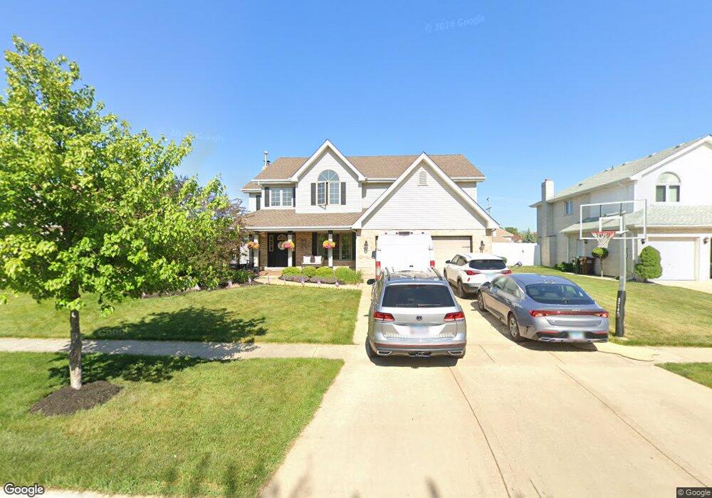
732 Vanderbilt Dr New Lenox, IL 60451
Estimated Value: $465,000 - $533,000
4
Beds
4
Baths
2,800
Sq Ft
$182/Sq Ft
Est. Value
About This Home
This home is located at 732 Vanderbilt Dr, New Lenox, IL 60451 and is currently estimated at $509,285, approximately $181 per square foot. 732 Vanderbilt Dr is a home located in Will County with nearby schools including Spencer Trail, Spencer Pointe, and Spencer Crossing Intermediate School.
Ownership History
Date
Name
Owned For
Owner Type
Purchase Details
Closed on
Jul 14, 2000
Sold by
Marquette National Bank
Bought by
Richards James R and Richards Kathleen E
Current Estimated Value
Home Financials for this Owner
Home Financials are based on the most recent Mortgage that was taken out on this home.
Original Mortgage
$185,600
Outstanding Balance
$66,084
Interest Rate
8.16%
Estimated Equity
$443,201
Create a Home Valuation Report for This Property
The Home Valuation Report is an in-depth analysis detailing your home's value as well as a comparison with similar homes in the area
Home Values in the Area
Average Home Value in this Area
Purchase History
| Date | Buyer | Sale Price | Title Company |
|---|---|---|---|
| Richards James R | $233,000 | Chicago Title Insurance Co |
Source: Public Records
Mortgage History
| Date | Status | Borrower | Loan Amount |
|---|---|---|---|
| Open | Richards James R | $185,600 |
Source: Public Records
Tax History
| Year | Tax Paid | Tax Assessment Tax Assessment Total Assessment is a certain percentage of the fair market value that is determined by local assessors to be the total taxable value of land and additions on the property. | Land | Improvement |
|---|---|---|---|---|
| 2024 | $12,089 | $156,966 | $36,393 | $120,573 |
| 2023 | $12,089 | $143,087 | $33,175 | $109,912 |
| 2022 | $10,886 | $131,817 | $30,562 | $101,255 |
| 2021 | $10,339 | $123,970 | $28,743 | $95,227 |
| 2020 | $10,047 | $119,546 | $27,717 | $91,829 |
| 2019 | $9,619 | $115,840 | $26,858 | $88,982 |
| 2018 | $9,399 | $111,847 | $25,932 | $85,915 |
| 2017 | $8,933 | $108,631 | $25,186 | $83,445 |
| 2016 | $8,673 | $105,724 | $24,512 | $81,212 |
| 2015 | $8,400 | $102,396 | $23,740 | $78,656 |
| 2014 | $8,400 | $101,132 | $23,447 | $77,685 |
| 2013 | $8,400 | $102,495 | $23,763 | $78,732 |
Source: Public Records
Map
Nearby Homes
- 1956 Cornell Dr
- 2402 Bluestone Bay Dr
- 1351 E Lincoln Hwy
- 732 Teal Dr Unit 1
- 836 Regent St
- 320 Garfield Ave
- 1212 Georgias Way
- 1245 Georgias Way
- 1193 Georgias Way
- 2019 Royalglen Dr
- Bldg. 58 Glenbrooke Ln Unit 1
- Bldg. 58 Glenbrooke Ln Unit 2
- 1869 Glenlake Ct
- 921 Knollside Rd
- 1564 Glenbrooke Ln Unit 2
- 1558 Glenbrooke Ln
- 318 William St
- 1738 Orchard Ln
- 1750 Orchard Ln
- 21580 Skyway Dr
- 722 Vanderbilt Dr
- 742 Vanderbilt Dr
- 752 Vanderbilt Dr
- 712 Vanderbilt Dr
- 731 Vanderbilt Dr
- 721 Vanderbilt Dr
- 741 Vanderbilt Dr
- 731 Wellington Pkwy
- 762 Vanderbilt Dr
- 702 Vanderbilt Dr
- 721 Wellington Pkwy
- 711 Vanderbilt Dr
- 741 Wellington Pkwy
- 751 Vanderbilt Dr
- 711 Wellington Pkwy
- 751 Wellington Pkwy
- 772 Vanderbilt Dr Unit 1
- 701 Vanderbilt Dr
- 761 Vanderbilt Dr
- 732 Columbia Dr Unit 1
Your Personal Tour Guide
Ask me questions while you tour the home.