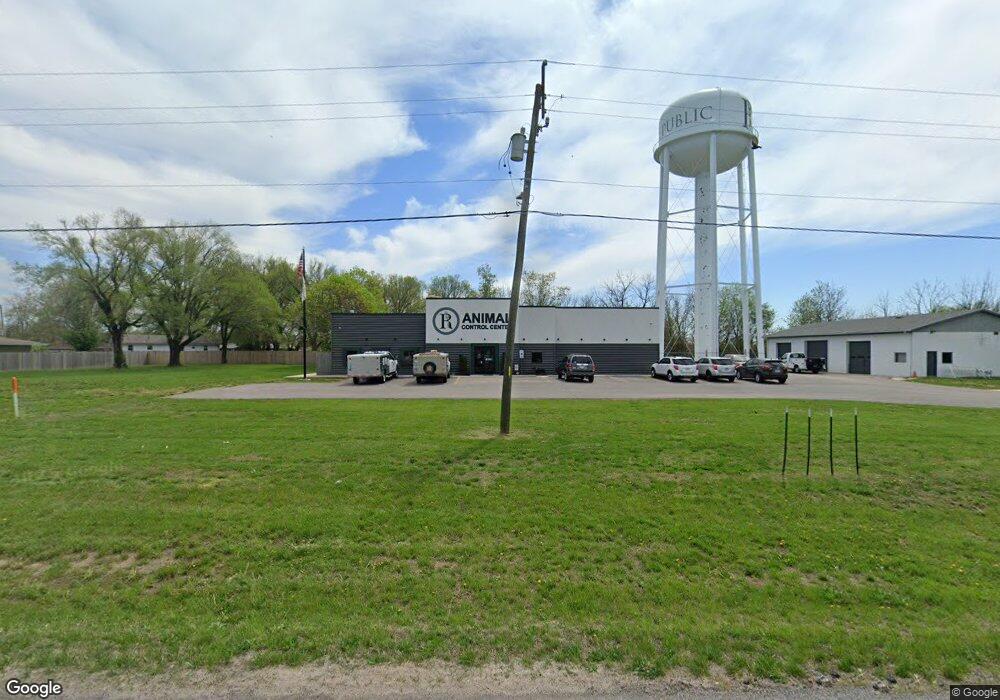
732 W State Highway 174 Republic, MO 65738
Studio
--
Bath
4,680
Sq Ft
46,391
Sq Ft Lot
About This Home
This home is located at 732 W State Highway 174, Republic, MO 65738. 732 W State Highway 174 is a home located in Greene County with nearby schools including Schofield Elementary School, Republic Middle School, and Republic High School.
Ownership History
Date
Name
Owned For
Owner Type
Purchase Details
Closed on
Oct 23, 2025
Sold by
Wicks Ip Llc
Bought by
Raptor Real Estate Llc
Home Financials for this Owner
Home Financials are based on the most recent Mortgage that was taken out on this home.
Original Mortgage
$900,000
Outstanding Balance
$900,000
Interest Rate
6.35%
Mortgage Type
Reverse Mortgage Home Equity Conversion Mortgage
Purchase Details
Closed on
Oct 27, 2006
Sold by
4M Llc
Bought by
Plank Kelly
Purchase Details
Closed on
Aug 31, 2005
Sold by
Hewitt Jeremy A and Hewitt Jamie L
Bought by
4 M Llc
Create a Home Valuation Report for This Property
The Home Valuation Report is an in-depth analysis detailing your home's value as well as a comparison with similar homes in the area
Home Values in the Area
Average Home Value in this Area
Purchase History
| Date | Buyer | Sale Price | Title Company |
|---|---|---|---|
| Raptor Real Estate Llc | -- | None Listed On Document | |
| Plank Kelly | -- | None Available | |
| 4 M Llc | -- | Lincoln Evans Land Title Co |
Source: Public Records
Mortgage History
| Date | Status | Borrower | Loan Amount |
|---|---|---|---|
| Open | Raptor Real Estate Llc | $900,000 |
Source: Public Records
Tax History
| Year | Tax Paid | Tax Assessment Tax Assessment Total Assessment is a certain percentage of the fair market value that is determined by local assessors to be the total taxable value of land and additions on the property. | Land | Improvement |
|---|---|---|---|---|
| 2025 | -- | $0 | $0 | $0 |
| 2024 | -- | $0 | $0 | $0 |
| 2023 | $0 | $0 | $0 | $0 |
| 2022 | $0 | $0 | $0 | $0 |
| 2021 | $0 | $0 | $0 | $0 |
| 2020 | $4,175 | $0 | $0 | $0 |
| 2019 | $4,175 | $67,380 | $30,150 | $37,230 |
| 2018 | $4,175 | $64,860 | $30,150 | $34,710 |
| 2017 | $4,144 | $64,210 | $30,150 | $34,060 |
| 2016 | $4,142 | $64,210 | $30,150 | $34,060 |
| 2015 | $4,130 | $64,210 | $30,150 | $34,060 |
| 2014 | $3,519 | $54,720 | $30,150 | $24,570 |
Source: Public Records
Map
Nearby Homes
- 566 S Buxton Ln
- 114 S Eagan St
- 393 N Ladera Dr
- 548 S Buxton Ln
- 000 W Crestview Ln
- 1001 W Broad St
- 421 W Elm St
- 413 W Elm St
- 1135 W Broad St
- 473 S Michelle Ave
- 347 W Elm St
- 609 S Mckee Ave
- 4507 S Farm Road 71
- 0 Highway 60 Unit 60308100
- 0 Highway 60 Unit 60308095
- 513 W Logan St
- 411 N College Ave
- 319 W Hines St
- 511 S Main Ave
- 636 N Dana Ave
- 800 State Highway 174
- 713 W Britain St
- 718 W Britain St
- 714 W Britain St
- 113 S Sherman Ave
- 205 S Sherman Ave
- 103 S Sherman Ave
- 720 W Alemeda St
- 742 W Alemeda St
- 764 W Alemeda St
- 708 W Alemeda St
- 719 W Scotland St
- 704 W Britain St
- 782 W Alemeda St
- 686 W Alemeda St
- 120 S Sherman Ave
- 668 W Alemeda St
- 626 W Elm St
- 170 N Tierra Dr
- 206 S Sherman Ave
Your Personal Tour Guide
Ask me questions while you tour the home.