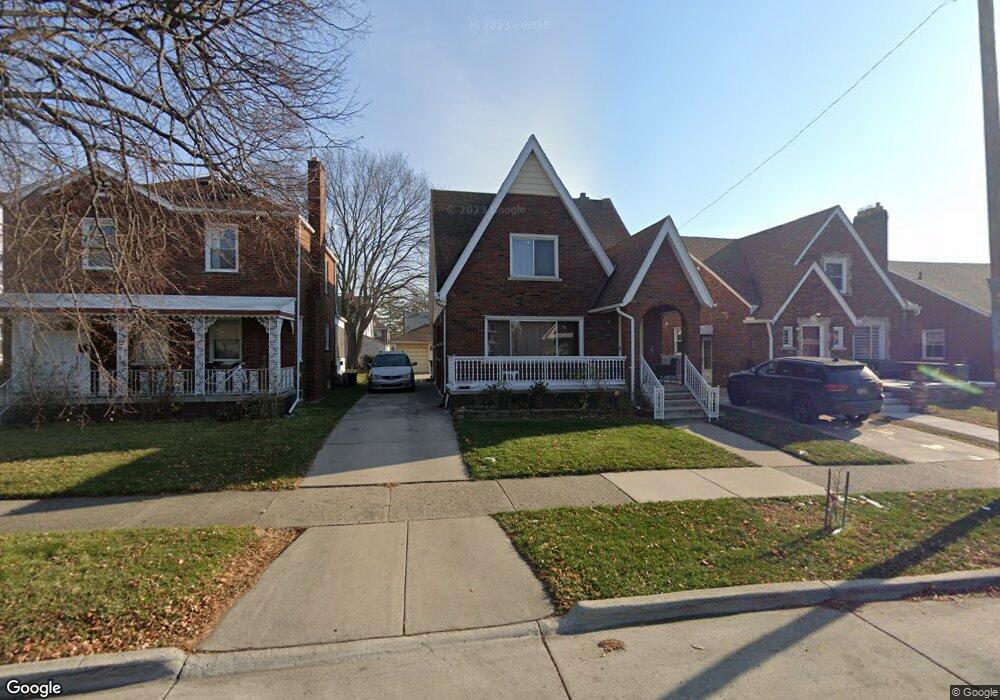
7320 Middlepointe St Dearborn, MI 48126
Aviation NeighborhoodEstimated Value: $245,000 - $330,000
4
Beds
2
Baths
1,619
Sq Ft
$178/Sq Ft
Est. Value
About This Home
This home is located at 7320 Middlepointe St, Dearborn, MI 48126 and is currently estimated at $288,766, approximately $178 per square foot. 7320 Middlepointe St is a home located in Wayne County with nearby schools including McDonald Elementary School, McCollough-Unis School, and Fordson High School.
Ownership History
Date
Name
Owned For
Owner Type
Purchase Details
Closed on
Apr 25, 2006
Sold by
Ghoul Wafica A and Ghoul Wafica
Bought by
Ghoul Wafica A
Current Estimated Value
Purchase Details
Closed on
Jan 7, 2004
Sold by
The Huntington National Bank
Bought by
Ghoul Wafica A
Purchase Details
Closed on
Dec 19, 2002
Sold by
Jouni Ghada I
Bought by
Huntington National Bank
Purchase Details
Closed on
Aug 28, 2002
Sold by
Jouni Ghada
Bought by
Southwestern Mutual Funding Co
Create a Home Valuation Report for This Property
The Home Valuation Report is an in-depth analysis detailing your home's value as well as a comparison with similar homes in the area
Home Values in the Area
Average Home Value in this Area
Purchase History
| Date | Buyer | Sale Price | Title Company |
|---|---|---|---|
| Ghoul Wafica A | -- | None Available | |
| Ghoul Wafica A | $106,000 | Investors Title Insurance Co | |
| Huntington National Bank | $152,256 | -- | |
| Southwestern Mutual Funding Co | $103,630 | -- |
Source: Public Records
Tax History
| Year | Tax Paid | Tax Assessment Tax Assessment Total Assessment is a certain percentage of the fair market value that is determined by local assessors to be the total taxable value of land and additions on the property. | Land | Improvement |
|---|---|---|---|---|
| 2025 | $2,175 | $114,200 | $0 | $0 |
| 2024 | $2,127 | $107,100 | $0 | $0 |
| 2023 | $2,013 | $90,700 | $0 | $0 |
| 2022 | $2,265 | $74,600 | $0 | $0 |
| 2021 | $2,632 | $70,300 | $0 | $0 |
| 2019 | $2,605 | $62,900 | $0 | $0 |
| 2018 | $2,210 | $60,400 | $0 | $0 |
| 2017 | $633 | $53,300 | $0 | $0 |
| 2016 | $2,065 | $49,200 | $0 | $0 |
| 2015 | $3,902 | $42,850 | $0 | $0 |
| 2013 | $3,780 | $37,800 | $0 | $0 |
| 2011 | -- | $42,950 | $0 | $0 |
Source: Public Records
Map
Nearby Homes
- 7815 Normile St
- 7900 Middlepointe St
- 8511 Lonyo St
- 10339 Tireman Ave
- 7929 Normile St
- 7658 Appoline St
- 8035 Pinehurst St
- 8100 Middlepoint St
- 8805 Whitlock Ave
- 7857 Esper Blvd
- 8048 Kentucky St
- 8116 Wyoming Ave
- 55 Morross Cir Unit 7
- 7758 Reuter St
- 12953 Tireman Ave
- 28 Morross Cir Unit 45
- 30 Morross Cir Unit 44
- 8088 Wisconsin St
- 8155 Appoline St
- 8258 Meyers Rd
- 7330 Middlepointe St
- 7312 Middlepointe St
- 7306 Middlepointe St
- 7334 Middlepointe St
- 7266 Middlepointe St
- 7323 Kingsley St
- 7311 Kingsley St
- 7329 Kingsley St
- 7305 Kingsley St
- 7335 Kingsley St
- 10383 S Morrow Cir
- 7258 Middlepointe St
- 10395 S Morrow Cir
- 7267 Kingsley St
- 10375 S Morrow Cir
- 7321 Middlepointe St
- 7329 Middlepointe St
- 10365 S Morrow Cir
- 7315 Middlepointe St
- 7305 Middlepointe St
Your Personal Tour Guide
Ask me questions while you tour the home.